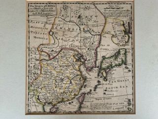
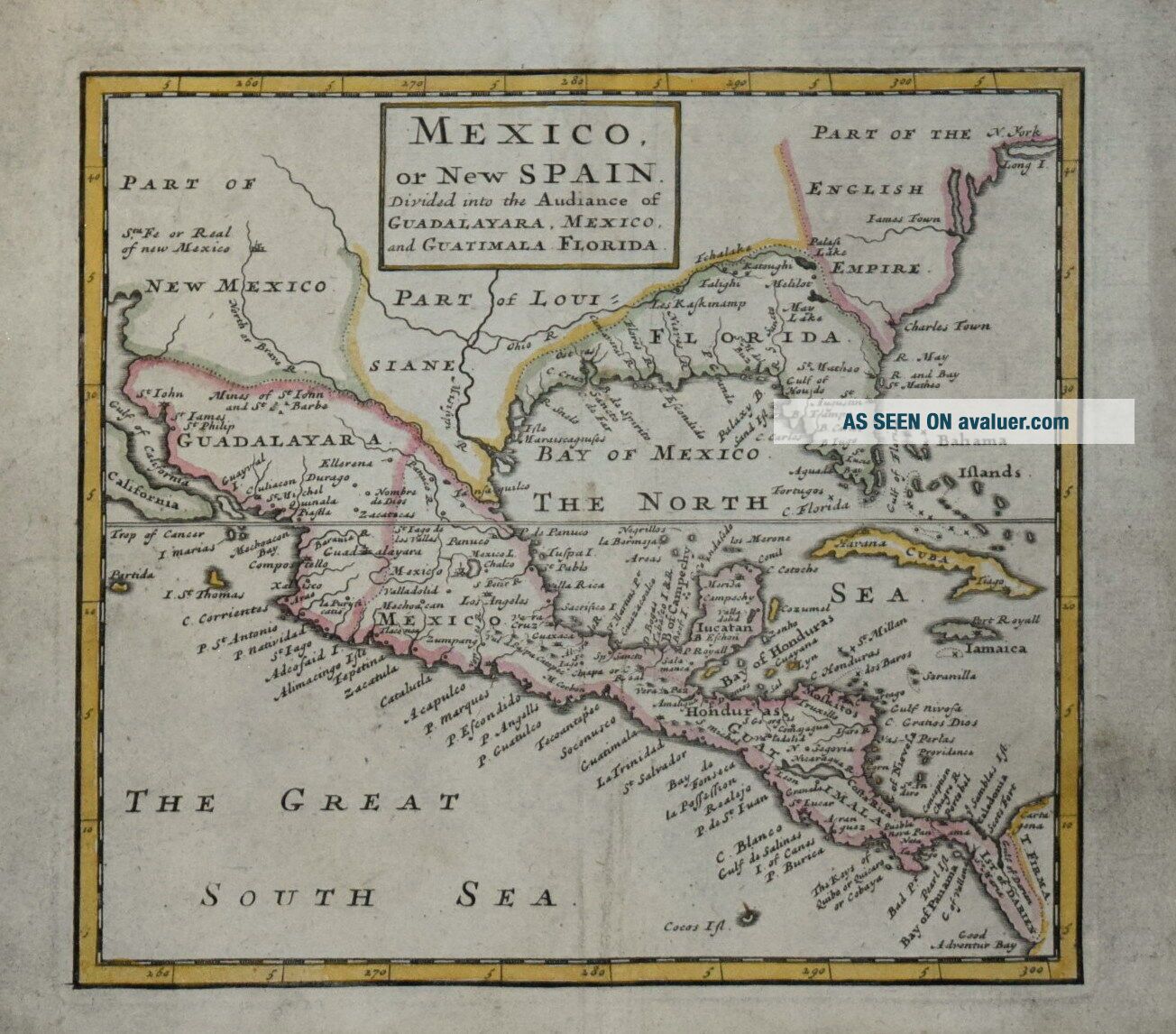
MEXICO OR SPAIN. BY HERMAN MOLL CIRCA 1702.


Item History & Price

Information:
Reference Number: Avaluer:10299
Original Description:
 MEXICO OR NEW SPAIN.An interesting copper line engraved map on paper by Herman Moll. Originally produced to accompany his "A System of Geography" and published in London circa 1702. Measures 165 x 185 mm. Some surface dust and light crease, but otherwise in good condition.. SEE PHOTO.Attractive hand colour.A guaranteed genuine antique map.


    Similar items


  • The Philippine Islands,  East Indies By Herman Moll Circa 1750,  Possibly Earlier.

    The Philippine Islands, East Indies By Herman Moll Circa 1750, Possibly Earlier.

  • The East Part Of India Beyond The River Ganges By Herman Moll Circa 1730

    The East Part Of India Beyond The River Ganges By Herman Moll Circa 1730

  • Tweddale Alias The Shire Of Peebles,  Scotland By Herman Moll Circa 1732

    Tweddale Alias The Shire Of Peebles, Scotland By Herman Moll Circa 1732

  • East Indies - Philippine Islands.  By H.  Moll,  Circa 1740.

    East Indies - Philippine Islands. By H. Moll, Circa 1740.

  • Antique Map 1720 By Herman Moll China & Japan

    Antique Map 1720 By Herman Moll China & Japan

  • An Antique Map Of Scotland Dated 1710 By Herman Moll - Framed

    An Antique Map Of Scotland Dated 1710 By Herman Moll - Framed

  • Antique Map ‘a And Correct Map Of Scotland & The Isles’ By Herman Moll C1736

    Antique Map ‘a And Correct Map Of Scotland & The Isles’ By Herman Moll C1736

  • Scotland: Large Antique Map By Herman Moll,  C1730

    Scotland: Large Antique Map By Herman Moll, C1730


    • You might also like


Avaluer          About Us          Privacy Policy          Contact Us          UP
© 2022, avaluer.net, Inc. or its affiliates