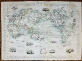
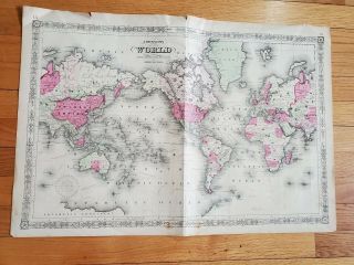
1876 Map Of The World On Mercator ' S Projection History Wall Art Poster Decor


Item History & Price
1876 Map Of The World on Mercator's Projection Detailed SpecificationsThis is a reproduction of the original mapThis Map Comes in Sizes:
11"x16", 16"x24" and 23"x34"We have more WorldMaps, you can find them in
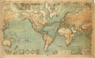
Our StoreMap of the world on Mercator's projection.
Shows shipping routes with distances, U.S. boundaries with Canada and Mexico and boundary between Asia and Europe and Asia and Africa in red.All Our Maps and Posters Are Made in ...the USAThis map comes with a white border around the image----------------------------How are the prints shipped?They are rolled and placed into a rigid tube.
-Is this available in a larger/smaller size.Yes. For smaller or larger sizes, email us.