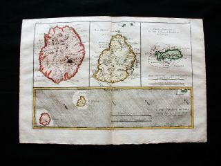
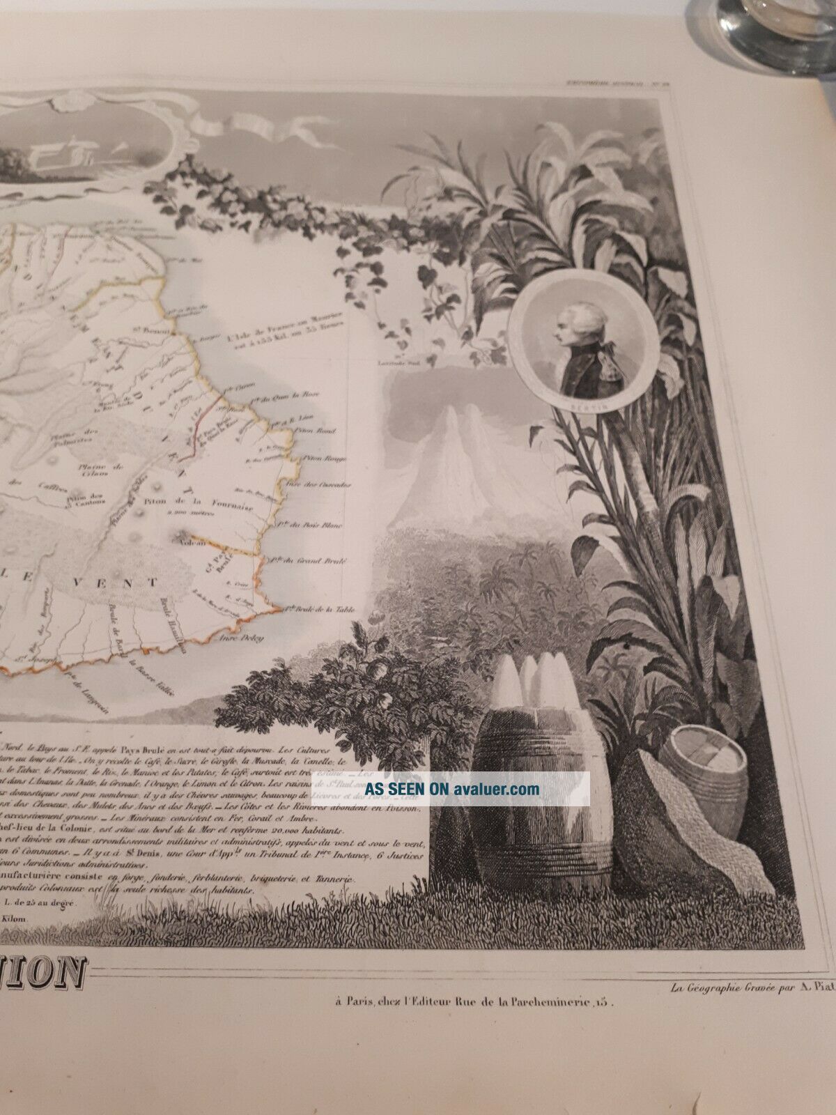
BOURBON REUNION Island Map Handcolored 1852 Antique Illustrated Pictorial Africa


Item History & Price

Information:
Reference Number: Avaluer:1233523
Original Description:
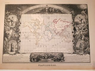
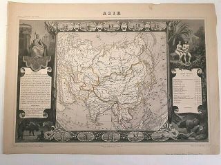
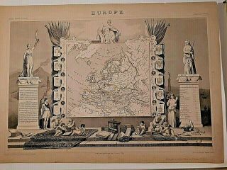
From Levasseur 1852 atlas
50x38cmSee the other maps (possibility to combine shipping)


    Similar items


  • World Map Handcolored 1852 Antique Illustrated Pictorial Levasseur America Asia

    World Map Handcolored 1852 Antique Illustrated Pictorial Levasseur America Asia

  • Asia 1852 Antique Illustrated Pictorial Map Levasseur China India Japan Arabia

    Asia 1852 Antique Illustrated Pictorial Map Levasseur China India Japan Arabia

  • Europe 1852 Antique Illustrated Pictorial Map Levasseur Europa Italy Poland

    Europe 1852 Antique Illustrated Pictorial Map Levasseur Europa Italy Poland

  • 1770 Bonne - Orig.  Map Of Asia,  India,  Reunion Island,  Mauritius,  Rodrigues Isl.

    1770 Bonne - Orig. Map Of Asia, India, Reunion Island, Mauritius, Rodrigues Isl.

  • Vintage 1896 Caribbean West India Islands Map Old Authentic Antique Map 96/70318

    Vintage 1896 Caribbean West India Islands Map Old Authentic Antique Map 96/70318

  • 1901 Boston,  Ma.  Dated Color Atlas Map Rhode Island Map On Back

    1901 Boston, Ma. Dated Color Atlas Map Rhode Island Map On Back

  • Mountains & Rivers - Colton,  Large Folding Map Ca: 1852

    Mountains & Rivers - Colton, Large Folding Map Ca: 1852

  • 1758 Connecticut And Rhode Island Map Of Colonies

    1758 Connecticut And Rhode Island Map Of Colonies


    • You might also like


    • Africa Ca 1550 Woodcut Antique Map Africa Continent Sebastian Munster

      Africa Ca 1550 Woodcut Antique Map Africa Continent Sebastian Munster

    • Zanzibar Tanzania East Africa German East Africa German Empire Antique Map 19th

      Zanzibar Tanzania East Africa German East Africa German Empire Antique Map 19th

Avaluer          About Us          Privacy Policy          Contact Us          UP
© 2022, avaluer.net, Inc. or its affiliates