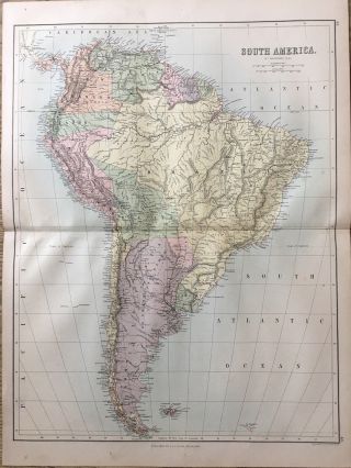
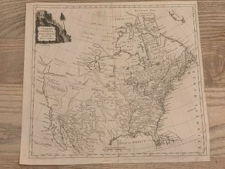
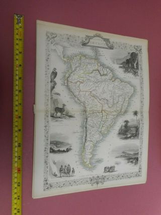
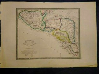
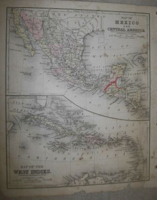
1858 SOUTH AMERICA LARGE ANTIQUE MAP BY ADAM & CHARLES BLACK


Item History & Price

Information:
Reference Number: Avaluer:1234037Cartographer/Publisher: Adam & Charles Black
Format: Atlas MapDate Range: 1800-1899
Type: Political MapOriginal/Reproduction: Antique Original
Year: 1858
Original Description:
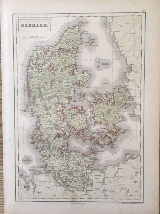
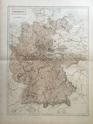
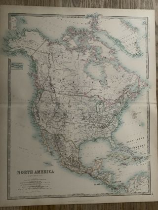
This large map is from Black's General Atlas of The World published by Adam & Charles Black, Edinburgh, 1858.
The map is printed on one side only and measures 60 cm x 44 cm or 24" x 17".
If you have any questions or would like to see more photographs then please do not hesitate to ask. This interesting map is an original antique which is 160 years old. 
Please check my other auctions for more antique, books, maps and engravings which are added every week.

...


    Similar items


  • 1888 South America Large Antique Map By John Bartholomew & A & C Black

    1888 South America Large Antique Map By John Bartholomew & A & C Black

  • 1858 Denmark Large Antique Map By Adam & Charles Black 160 Years Old

    1858 Denmark Large Antique Map By Adam & Charles Black 160 Years Old

  • 1858 Germany Large Antique Map By Adam & Charles Black 160 Years Old

    1858 Germany Large Antique Map By Adam & Charles Black 160 Years Old

  • 1893 North America Large Antique Map By Johnston 126 Years Old

    1893 North America Large Antique Map By Johnston 126 Years Old

  • 1773 North America Large Antique Map By Thomas Kitchin 246 Years Old

    1773 North America Large Antique Map By Thomas Kitchin 246 Years Old

  • 1692 Guyana South America - Georgetown - Antique Map By J.  Muller

    1692 Guyana South America - Georgetown - Antique Map By J. Muller

  • 1767 – South America / Amerique Meridionale Map By Sanson

    1767 – South America / Amerique Meridionale Map By Sanson

  • 100 South America Brazil Peru Map By Tallis C1855 Vg

    100 South America Brazil Peru Map By Tallis C1855 Vg


    • You might also like


    • Extremely Rare Photo Of Hong Kong,  Showing Central Victoria Township 1857

      Extremely Rare Photo Of Hong Kong, Showing Central Victoria Township 1857

    • 1860: Manuscript Map Of Hms Vixen Chile / Peru

      1860: Manuscript Map Of Hms Vixen Chile / Peru

    • Rare Antique G.  W.  Bromley & Co 1891 City Of South Boston Mass Atlas 33 Plates

      Rare Antique G. W. Bromley & Co 1891 City Of South Boston Mass Atlas 33 Plates

    • 1893 Atlas Map Plat Turner County South Dakota Rowley & Peterson Antique Vtg.

      1893 Atlas Map Plat Turner County South Dakota Rowley & Peterson Antique Vtg.

    • Antique Map Of Guatemala Or United States Of Central America

      Antique Map Of Guatemala Or United States Of Central America

    • U.  S Geological Survey Authentic Rubber Stamp 1986 South Pole

      U. S Geological Survey Authentic Rubber Stamp 1986 South Pole

    • South America; Brazil,  Santa Catarina Island - Bellin - 1751 - 1760

      South America; Brazil, Santa Catarina Island - Bellin - 1751 - 1760

    • Map; Mexico & Central America - Map Of West Indies 1887

      Map; Mexico & Central America - Map Of West Indies 1887

Avaluer          About Us          Privacy Policy          Contact Us          UP
© 2022, avaluer.net, Inc. or its affiliates