Antique Map MIDDLE EAST, TURKEY, CYPRUS, SYRIA, ARMENIA, Stieler, 1886


Item History & Price
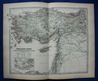
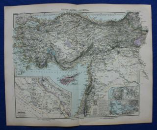
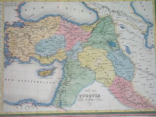
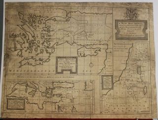
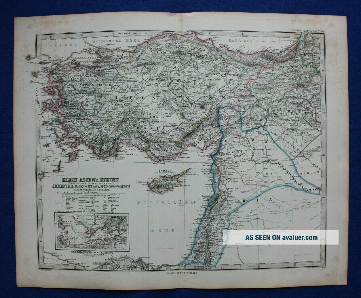
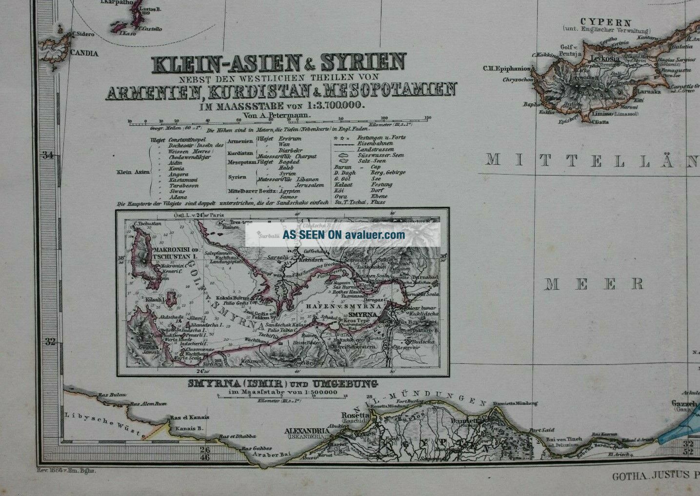
Title / Subject: 'Klein-Asien & Syrien Nebst den Westlichen Theilen von Armenien, Kurdistan, & Mesopotamien'
Date: 1886
Size: The printed area measures approximately 406mm x 329mm with good-sized margins beyond; blank verso.
Description: A detailed, outline hand coloured map of Turkey east of the Bosphorus and the Middle East. Part of Kurdistan and Armenia are also shown. Text in German.
Cartographer / Engraver: Adolf Stieler
Provenance: 'Adolf Stieler's Hand Atl...as uber Alle Theile der Erde und Uber das Weltgebaude', pub. Justus Perthes, Gotha, 1886 edition.
Condition: Very good condition; some age toning with some minor age spotting, mainly to the margins and corners of the sheet. Centrefold as published. Manuscript plate number on a small sticker on the reverse side of the sheet. Please study all the photographs carefully to fully appreciate the condition.
Ref: #03756