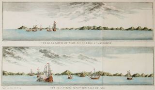
CHILE 1764 JACQUES NICOLAS BELLIN ANTIQUE COPPER ENGRAVED SEA CHART

Item History & Price
CHILE 1764 JACQUES NICOLAS BELLIN ANTIQUE ORIGINAL COPPER ENGRAVED SEA CHART

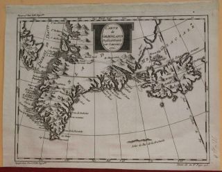
Greenland & Iceland 1770 Jacques Nicolas Bellin Antique Copper Engraved Map
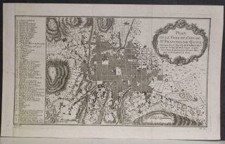
Quito Ecuador 1754 Jacques Nicolas Bellin Antique Copper Engraved City Map
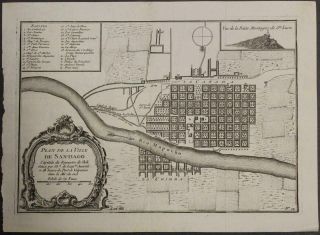
Santiago De Chile Chile 1754 Bellin Antique Copper Engraved City Map
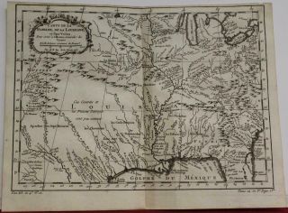
Mississippi River Valley Louisiana Usa 1757 Bellin Antique Copper Engraved Map
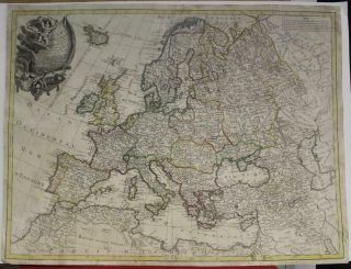
European Continent 1764 Clouet & Mondhare Unusual Antique Copper Engraved Map
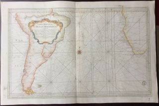
Large Scale 1753 Map Of The Southern Atlantic Ocean By Jacques Nicolas Bellin
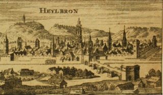
Nicolas Tassin Antique Copper Engraving ' Heylbron ' C1600 ' S
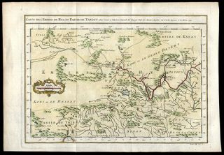
Engraved Map Of China Tibet Gobi Desert 1749 Jacques Nicolas Bellin Geography
Extremely Rare Photo Of Hong Kong, Showing Central Victoria Township 1857
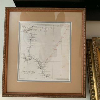
1860: Manuscript Map Of Hms Vixen Chile / Peru
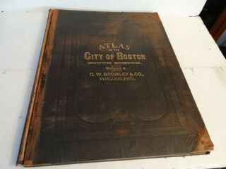
Rare Antique G. W. Bromley & Co 1891 City Of South Boston Mass Atlas 33 Plates
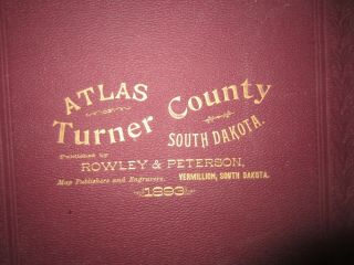
1893 Atlas Map Plat Turner County South Dakota Rowley & Peterson Antique Vtg.
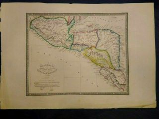
Antique Map Of Guatemala Or United States Of Central America
U. S Geological Survey Authentic Rubber Stamp 1986 South Pole
South America; Brazil, Santa Catarina Island - Bellin - 1751 - 1760
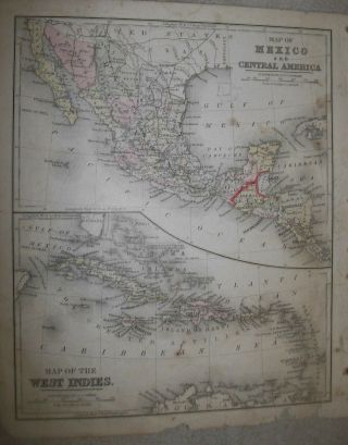
Map; Mexico & Central America - Map Of West Indies 1887