1789 BONNE - Rare Map: BERING STRAIT, ALASKA, CLARK ISLAND, NORTON SOUND, ASIA


Item History & Price

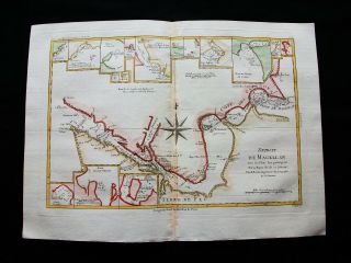
1789 Bonne - Rare Map Of South America, Strait Of Magellan, Chile, Patagonia.
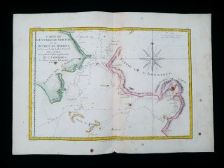
1787 Bonne & Desmarest Rare Map Bering Strait, Alaska, Clark Island Norton Sound
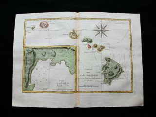
1789 Bonne - Rare Map: Hawaii Islands, Honolulu, Polynesia, Sandwich Isl. Maui.
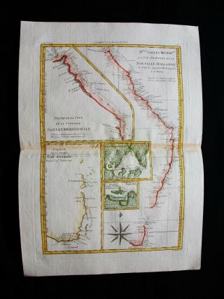
1789 Bonne - Rare Map: South Wales, Australia, Van Diemen ' S Land, Tasmania
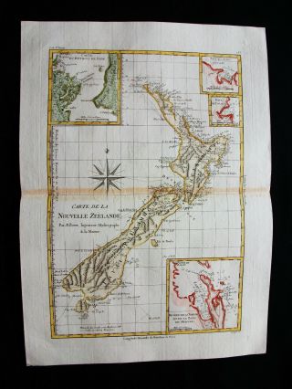
1789 Bonne - Rare Map: Zealand, Australia, Oceania, Stewart Is. Chatham Is.
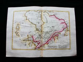
1789 Bonne - Rare Map: North America, Canada, Quebec, Great Lakes, Hudson Bay
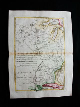
1789 Bonne - Rare Map: North America, United States, Louisiane, Georgia, Atlanta
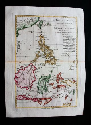
1789 Bonne - Rare Map: East Indies, Asia, Philippines, Indonesia, Java, Borneo