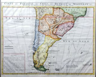
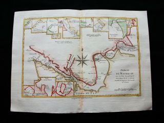
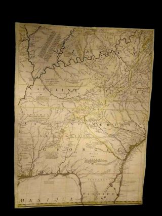
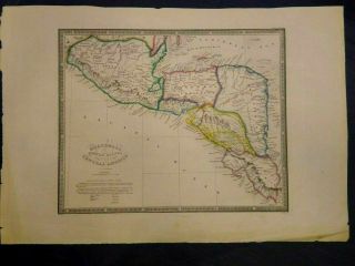
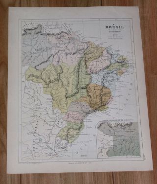
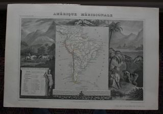
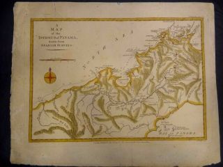
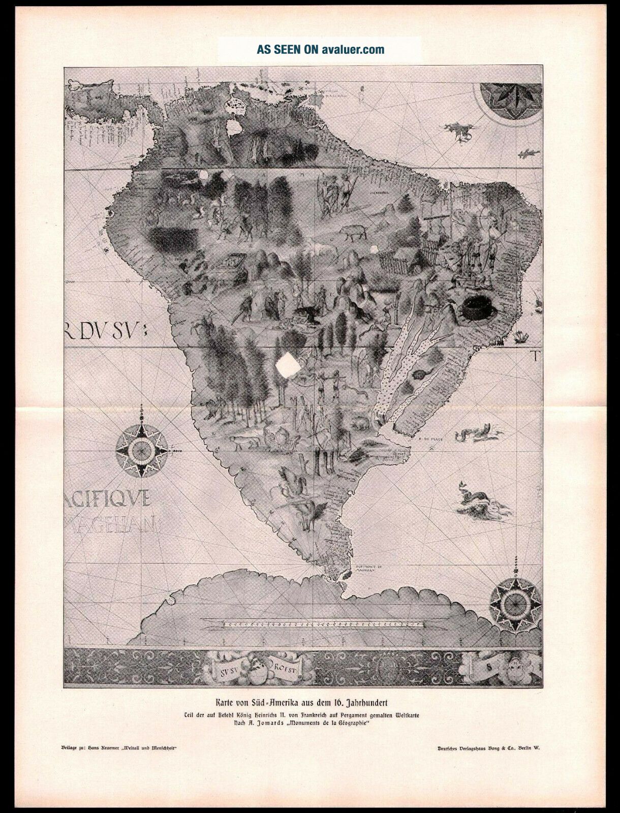
Antique Map. SOUTH AMERICA MAP OF 16th CENTURY. H. Kraemer. 1900


Item History & Price

Information:
Reference Number: Avaluer:1244004
Original Description:
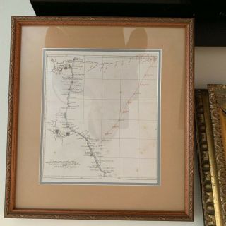
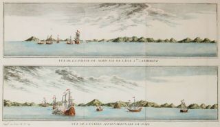
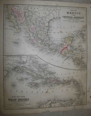
Antique map "SOUTH AMERICA MAP OF 16th CENTURY". 1900
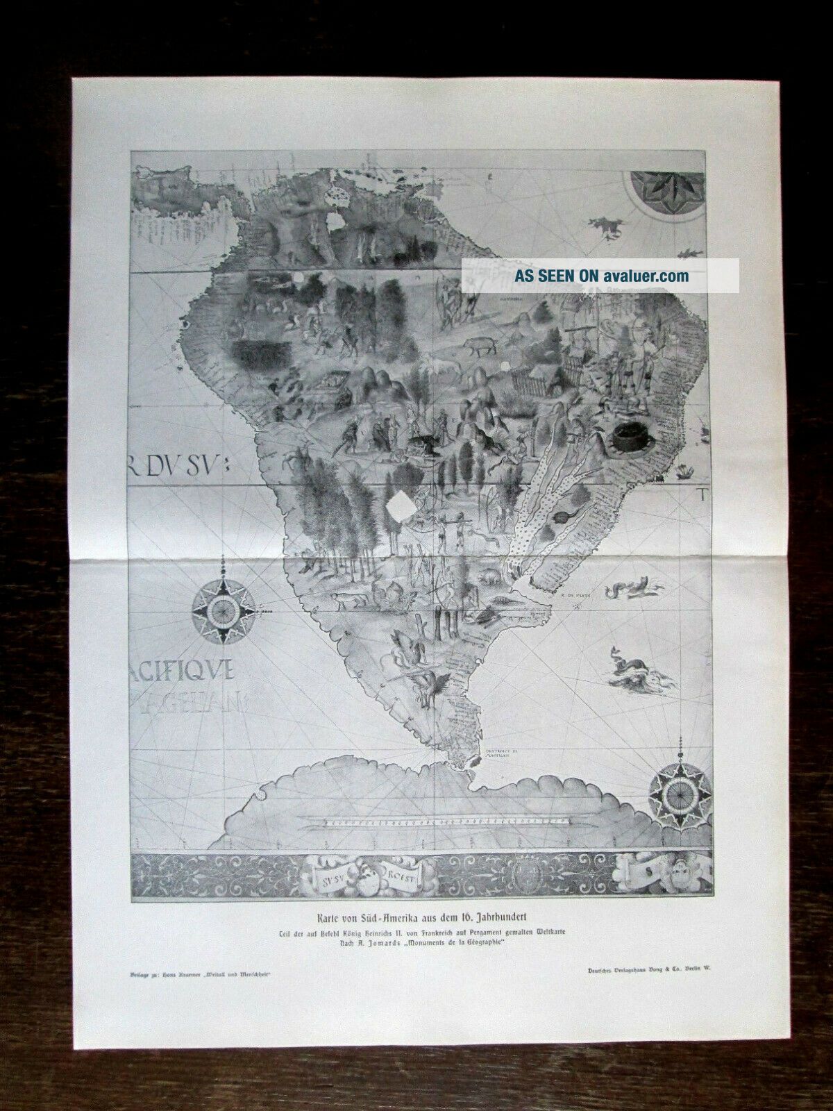
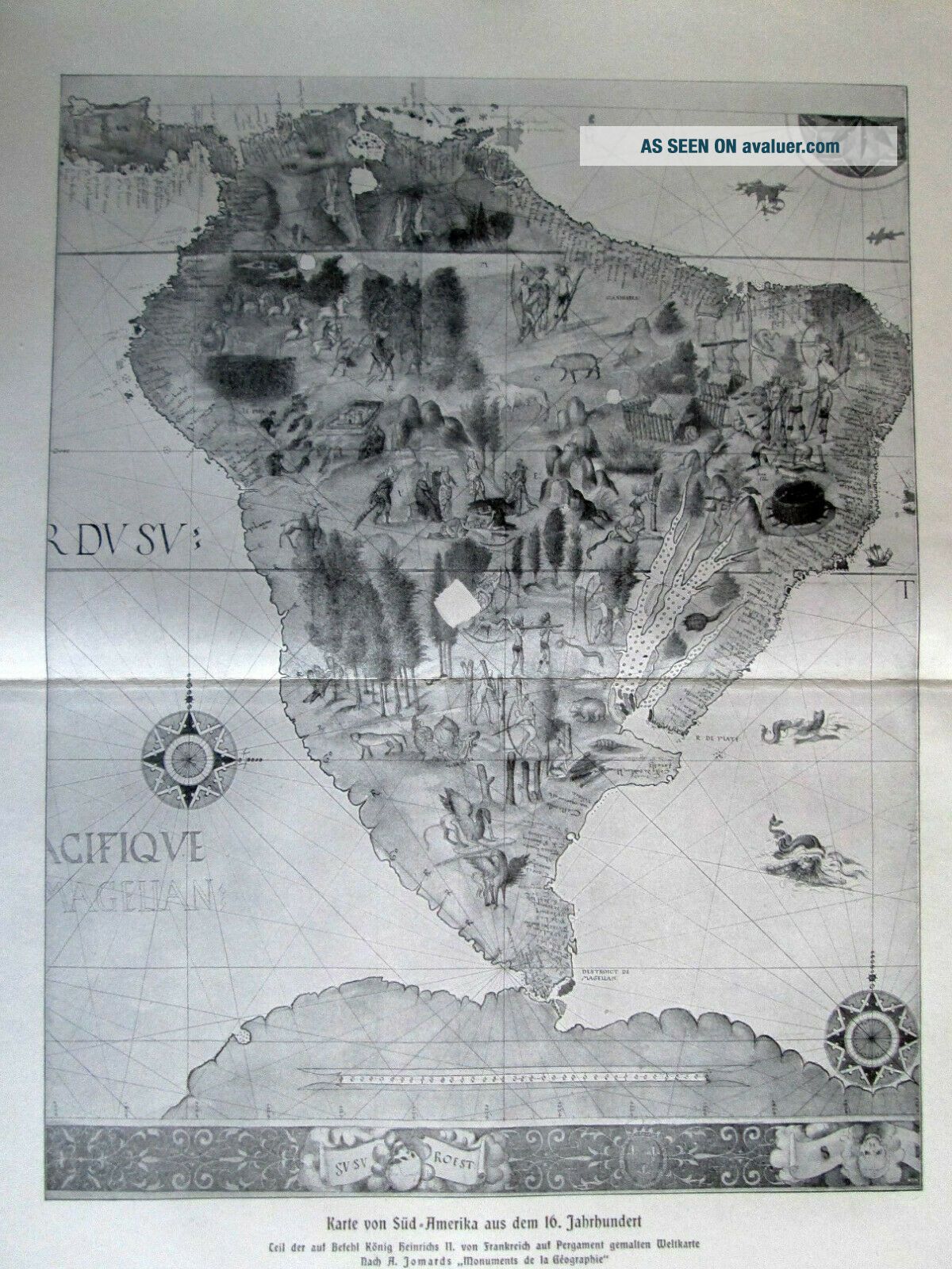
Sheet size - 38, 3 x 28, 4 cm
The other side -  printed from both sides
Source - Hans Kraemer. Weltall und Menschheit. Circa 1900
Condition - Please check attached photogrphy and scanned images

Combined postage available!!!
First three prints will be shipped for 8.00 USD
Every next additional print +0.70 USD


    Similar items


  • Antique Map Of The Southern Portion Of South America By Chatelain,  1719

    Antique Map Of The Southern Portion Of South America By Chatelain, 1719

  • 1789 Bonne - Rare Map Of South America,  Strait Of Magellan,  Chile,  Patagonia.

    1789 Bonne - Rare Map Of South America, Strait Of Magellan, Chile, Patagonia.

  • A Antique Map Of South Eastern United States

    A Antique Map Of South Eastern United States

  • Antique Map Of Guatemala Or United States Of Central America

    Antique Map Of Guatemala Or United States Of Central America

  • 1878 Antique Map Of Brazil / South America

    1878 Antique Map Of Brazil / South America

  • Antique Map Of South America Amerique Meridionale.  Atlas Universe C 1845

    Antique Map Of South America Amerique Meridionale. Atlas Universe C 1845

  • Antique Map Of Ireland In 4 Sheets 1861

    Antique Map Of Ireland In 4 Sheets 1861

  • Antique Map Of A Map Of The Istiimus Of Panama,  Drawn From Spanish Surveys

    Antique Map Of A Map Of The Istiimus Of Panama, Drawn From Spanish Surveys


    • You might also like


    • Extremely Rare Photo Of Hong Kong,  Showing Central Victoria Township 1857

      Extremely Rare Photo Of Hong Kong, Showing Central Victoria Township 1857

    • 1860: Manuscript Map Of Hms Vixen Chile / Peru

      1860: Manuscript Map Of Hms Vixen Chile / Peru

    • Rare Antique G.  W.  Bromley & Co 1891 City Of South Boston Mass Atlas 33 Plates

      Rare Antique G. W. Bromley & Co 1891 City Of South Boston Mass Atlas 33 Plates

    • 1893 Atlas Map Plat Turner County South Dakota Rowley & Peterson Antique Vtg.

      1893 Atlas Map Plat Turner County South Dakota Rowley & Peterson Antique Vtg.

    • U.  S Geological Survey Authentic Rubber Stamp 1986 South Pole

      U. S Geological Survey Authentic Rubber Stamp 1986 South Pole

    • South America; Brazil,  Santa Catarina Island - Bellin - 1751 - 1760

      South America; Brazil, Santa Catarina Island - Bellin - 1751 - 1760

    • Map; Mexico & Central America - Map Of West Indies 1887

      Map; Mexico & Central America - Map Of West Indies 1887

Avaluer          About Us          Privacy Policy          Contact Us          UP
© 2022, avaluer.net, Inc. or its affiliates