Early Whimsical Map Of San Francisco California Poster Print Wall Decor Vintage

Item History & Price
| Reference Number: Avaluer:1256133 | Listed By: Dealer or Reseller |
| Originality: Reproduction | Date of Creation: 1900-1949 |
| Country/Region of Manufacture: United States | Subject: Maps |
Pictorial Map of San Francisco Detailed SpecificationsThis is a reproduction of the original mapThis Map Comes in Sizes:
11"x14", 16"x20" and 23"x29"We have more maps of San Francisco in
Our StoreWe have more Pictorial Maps, you can find them in
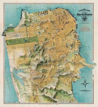
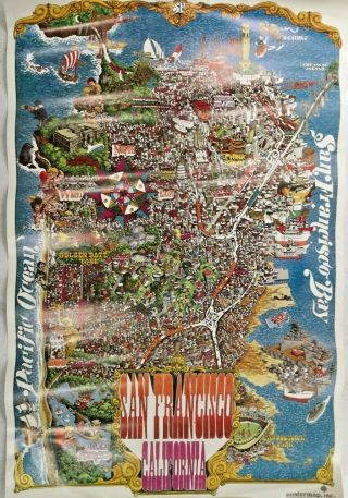
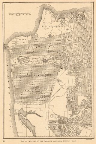
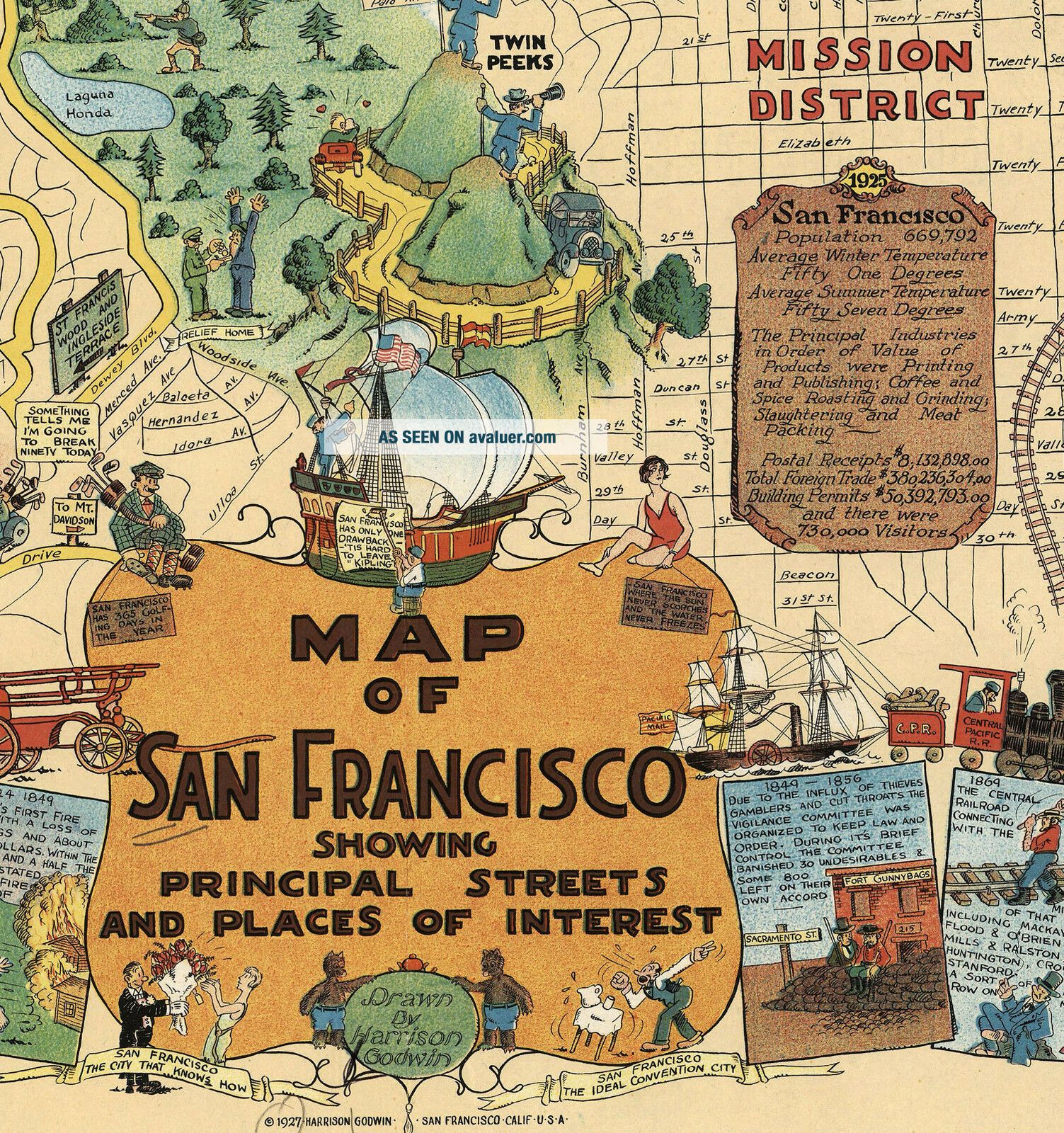
Our StoreAll Our Maps and Posters Are Made in the USAMap of San Francisco Showing Principal Streets and Places of InterestGodwin's map is perhaps the largest and most profusely illustrated of all pictorial ...maps of San Francisco, with comic characters depicting different aspects of the city, a cowboy getting bucked off a horse, a couple dancing an exaggerated Charleston, dozens of whimsical vignettes with explanation text, illustrating both the modern city of San Francisco and its early history, including 1906 San Francisco's Earthquake and Fire.
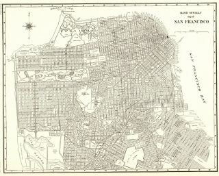
The streets, parks, local churches, schools, and government buildings are drawn to show the visitor.
Noted: "The City That Knows How" and "The Ideal Convention City."
Includes San Francisco: population, industry, products and postal services, and lists of banks and theaters. This map comes with a white border around the image----------------------------How are the prints shipped?They are rolled and placed into a rigid tube.
-Is this available in a larger/smaller size.Yes. For smaller or larger sizes, email us.