1946 TEXACO Road Map ST. LOUIS KANSAS CITY Missouri Route 66 Leavenworth Olathe


Item History & Price
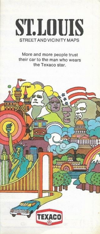
Handsomefold-out 1946 Texaco road map of the metropolitan areas of Kansas Cityand St. Louis, printed morethan 72yearsago. The map opens up to 21" x14" and has great detail on old street and highwayalignments, with cartography by Rand McNally.
The St. Louis map includes part of neighboring Illinois and shows Route66 crossing the Mississippi River on the Chain of Rocks Bridge andsplittinginto City 66, along Broadway, Florissant, and Gravois, and Highway 66, to the west of the down...town area.
The Kansas City map is on the other side and covers thearea between Leavenworth and Olathe, east to Wellington and Lone Jack.
This map was published by Texaco in 1946 and is dated by the code inthe lower margin: 464410.
Condition: It is in very goodcondition, bright and clean, with no marks, rips, or tears.Please see the scans and feel free to ask any questions.
Buy with confidence! We are always happy to combineshipping on thepurchase of multiple items — just make sure to pay for everythingat one time, not individually.
Powered by SixBit's eCommerce Solution
00245