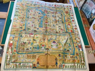
1844 CHINA LARGE HAND COLOURED ANTIQUE MAP FROM JOHNSTON ' S NATIONAL ATLAS


Item History & Price

Information:
Reference Number: Avaluer:13559Cartographer/Publisher: Alexander K. Johnston
Country/Region: ChinaPrinting Technique: Copper Plate
Format: Atlas MapDate Range: 1800-1899
Type: Political MapOriginal/Reproduction: Antique Original
Year: 1844
Original Description:
This beautiful map is from "The National Atlas of Historical, Commercial and Political Geography constructed from the most recent and authentic sources by Alexander Keith Johnston, F.R.G.S., published by John Johnstone and W. & A.K. Johnston, Edinburgh, 1844 The map measures approximately 67 cm x 55 cm or 26" x 21". It is printed on one side only and is perfect for framing.  The quality of the paper is exceptional quality and very thick. This is an original anti...que, 175 years old. The map is hand coloured in outline.Alexander Keith Johnston was born at Kirkhill near Penicuik, south of Edinburgh. He was the son of Andrew Johnston and Isabel Keith. His brother was Thomas Brumby Johnston FRSE.After an education at the High School and the University of Edinburgh he was apprenticed to the Edinburgh engraver and mapmaker, James Kirkwood. In 1826, he joined his brother William (who would become Sir William Johnston, Lord Provost of Edinburgh) in a printing and engraving business, forming the well-known cartographical firm of W. and A. K. Johnston with offices based at 4 St Andrew Square in Edinburgh's New Town and their printworks based at Edina Works, off Easter Road. The firm used the clan motto of "Ready Aye Ready" as their logo. Early hikes in the West Highlands had led Johnston to despair at the accuracy of maps, and inspired a desire to rectify this. The rest of Johnston's life was devoted to geography, his later years to its educational aspects especially. His services were recognised by the leading scientific societies of Europe and America.In October 1849, he was elected a Fellow of the Royal Society of Edinburgh, his proposer being Robert Chambers. In 1862 he was a founding member of the Meteorological Society of Scotland. He was awarded an honorary doctorate (LLD) in 1865.His Edinburgh address in later years was 16 Grosvenor Crescent in the affluent West End.[6]He died at Ben Rhydding, Yorkshire, in 1871. He is buried in the north-west section of Grange Cemetery in Edinburgh.Shipping can be combined for multiple items. Please look at my other listings for more maps, atlases, books and engravings.


    Similar items


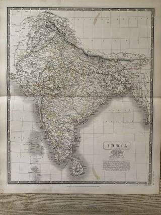
  • 1844 India Large Hand Coloured Antique Map From Johnston

    1844 India Large Hand Coloured Antique Map From Johnston ' S National Atlas
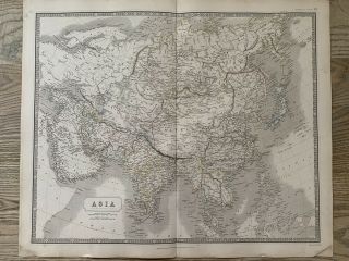
  • 1844 Asia Large Hand Coloured Antique Map From Johnston

    1844 Asia Large Hand Coloured Antique Map From Johnston ' S National Atlas
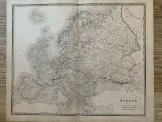
  • 1844 Europe Large Hand Coloured Antique Map From Johnston

    1844 Europe Large Hand Coloured Antique Map From Johnston ' S National Atlas
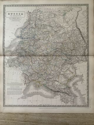
  • 1844 Russia Large Hand Coloured Antique Map From Johnston

    1844 Russia Large Hand Coloured Antique Map From Johnston ' S National Atlas
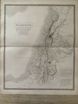
  • 1844 Palestine Large Hand Coloured Antique Map From Johnston

    1844 Palestine Large Hand Coloured Antique Map From Johnston ' S National Atlas

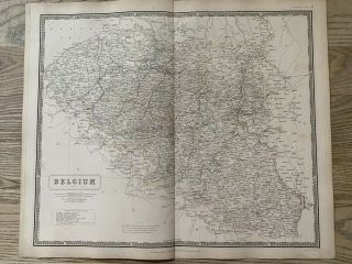
  • 1844 Belgium Large Hand Coloured Antique Map From Johnston

    1844 Belgium Large Hand Coloured Antique Map From Johnston ' S National Atlas

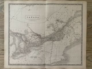
  • 1844 Canada Large Hand Coloured Antique Map From Johnston

    1844 Canada Large Hand Coloured Antique Map From Johnston ' S National Atlas

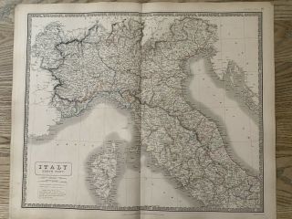
  • 1844 North Italy Large Hand Coloured Antique Map From Johnston

    1844 North Italy Large Hand Coloured Antique Map From Johnston ' S National Atlas


    • You might also like


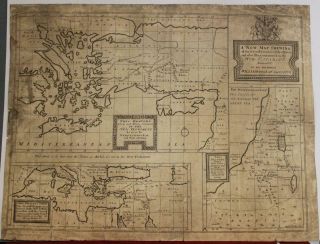
    • Israel Holy Land Middle East Cyprus Mediterranean Sea 1730 Nicholls Antique Map

      Israel Holy Land Middle East Cyprus Mediterranean Sea 1730 Nicholls Antique Map

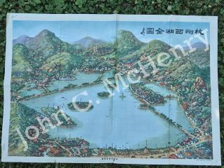
    • Vintage Map Of West Lake Hangzhou Hangchow China

      Vintage Map Of West Lake Hangzhou Hangchow China

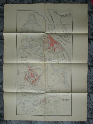
    • Map 1885 Vietnam French Indochina China War Tonkin Hanoi Tuyen Quan Bac - Ninh

      Map 1885 Vietnam French Indochina China War Tonkin Hanoi Tuyen Quan Bac - Ninh

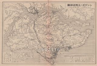
    • Vintage 1942 Battle Of Singapore Island Japanese Strategic Map Malayan Campaign

      Vintage 1942 Battle Of Singapore Island Japanese Strategic Map Malayan Campaign

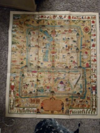
    • 1936 Frank Dorn Map Of Beijing Or Peking,  China

      1936 Frank Dorn Map Of Beijing Or Peking, China

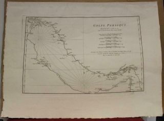
    • Persian Gulf Arabia Qatar Iran 1776 D

      Persian Gulf Arabia Qatar Iran 1776 D ' Anville Antique Copper Engraved Sea Chart

    • 1936 Chinese Pictorial Map Of Peking By Frank Dorn

      1936 Chinese Pictorial Map Of Peking By Frank Dorn

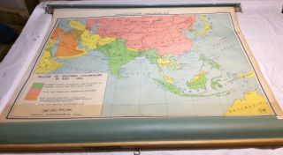
    • Vintage Nystrom Pull Down Map Western Colonialism In Asia In 1954 12128a
      Vintage Nystrom Pull Down Map Western Colonialism In Asia In 1954 12128a
Avaluer          About Us          Privacy Policy          Contact Us          UP
© 2022, avaluer.net, Inc. or its affiliates