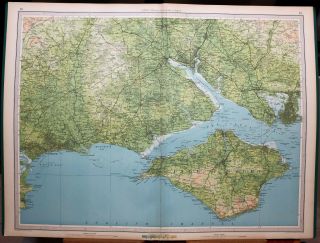
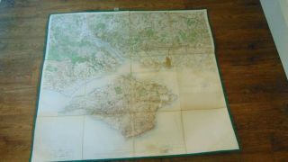
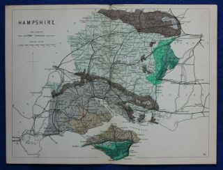
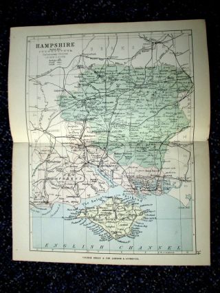
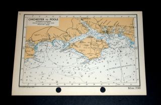
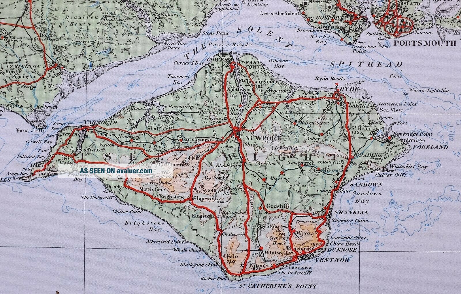
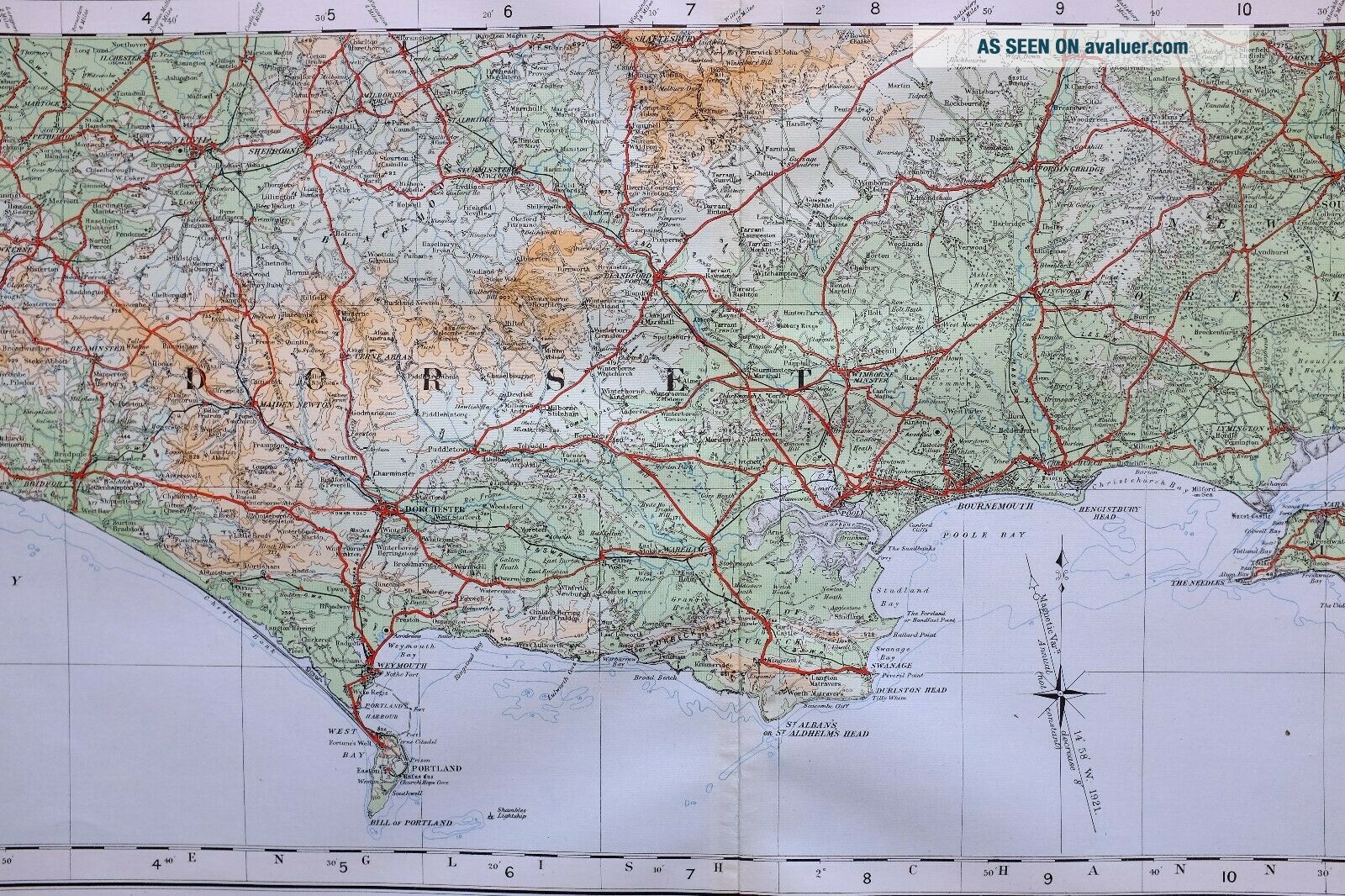
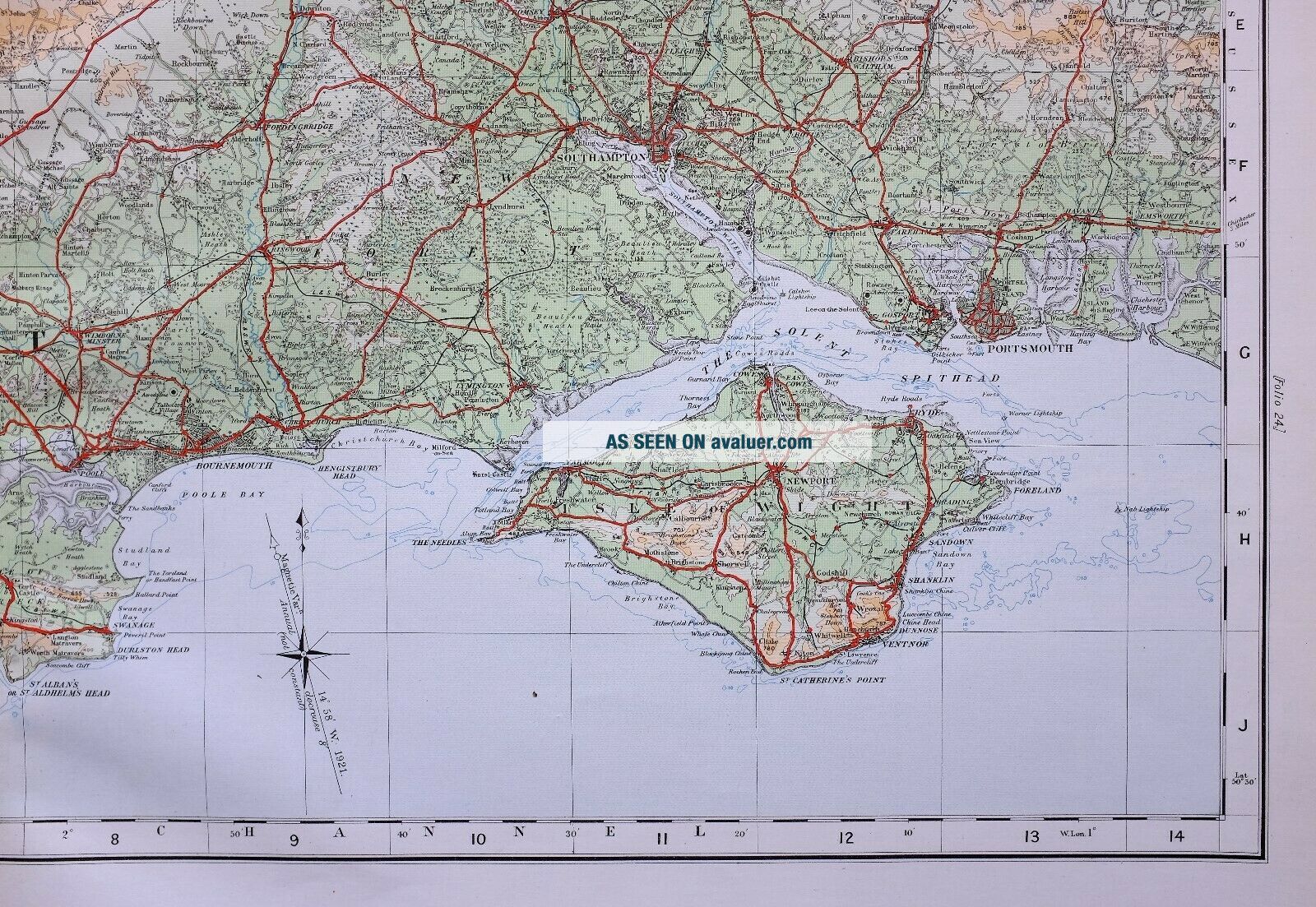
1922 LARGE MAP DORSET ISLE OF WIGHT BOURNEMOUTH SOUTHAMPTON FOREST

Item History & Price
| Reference Number: Avaluer:15931 |
AN ORIGINAL MAP OVER 90 YEARS OLDThis map is from a series of maps produced forTHE ORDNANCE SURVEY ATLAS OF ENGLAND & WALES 1922
Printed at the Ordnance Survey Office SouthamptonTHIS LISTING IS FOR THE SINGLE MAP SHOWNSUPERB DETAIL & ORIGINAL HAND COLOUR
Approximate size of sheet:
29 inches by 13 inches
UNUSUAL SIZE ~ WILL LOOK MAGNIFICENT FRAMED****CONDITION****
PLEASE VIEW IMAGES TO SEE ANY HANDLING/AGE MARKS
/REPAIRS/DAMAGE/EXTENT OF MARGINS etc...
*********************Please message with any questions regarding this itemBEST OFFERS PLEASE FOR A
QUICK SALE AT A FAIR PRICE
If you like the item, but do not like the price,
then make a realistic offer to us using the
MAKE OFFER BUTTON(1922 Ordnance Survey) r4