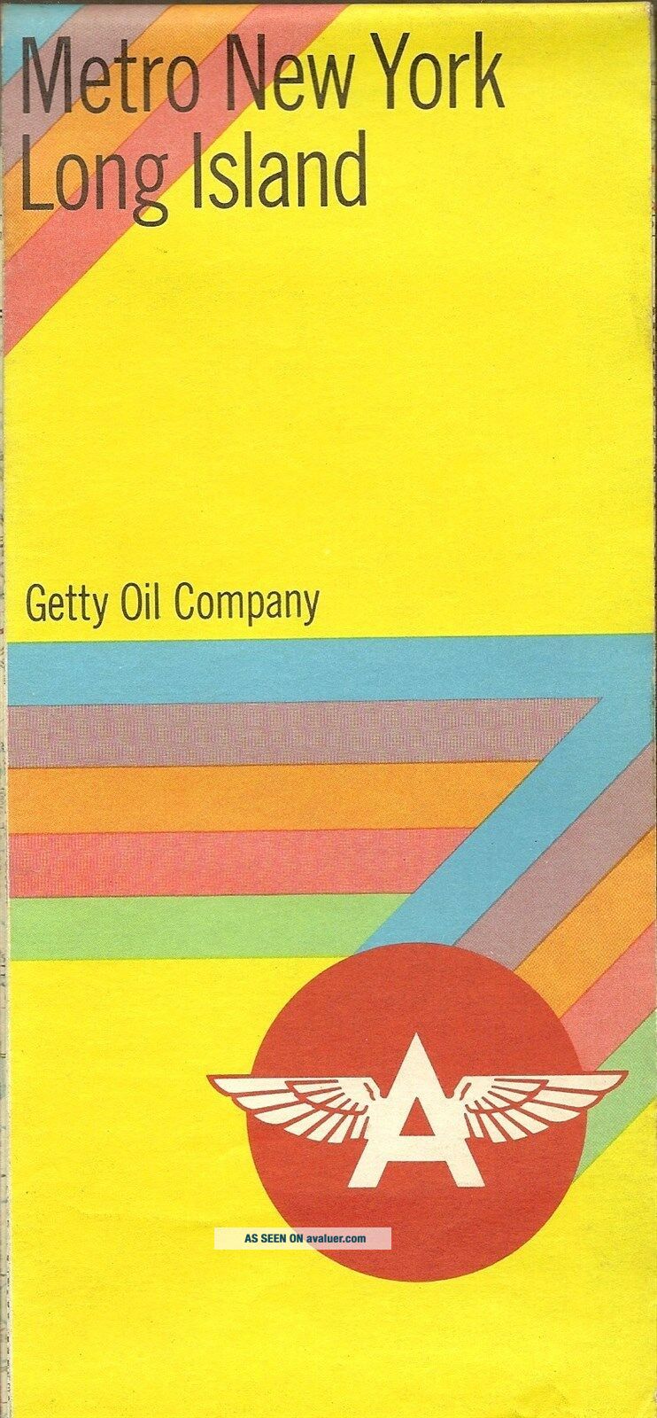
1969 GETTY OIL FLYING A Road Map LONG ISLAND METROPOLITAN YORK CITY Bronx
Item History & Price
1969 GETTY OIL FLYING A Road Map LONG ISLAND METROPOLITAN NEW YORK CITY BronxHandsomefold-out 1969 Getty Oil Company road map of metropolitan New York City andLong Island, printed more than 46 yearsago.
This map opens to a generous 26½" x37½" and has great detail on old street and highway alignments, with cartographyby R.R. Donnelley & Sons.
On one side there is a road map ofNew York City, with an inset street plan of lower Manhattan; on theother side there's a map... of Long Island and the New York metropolitanarea.
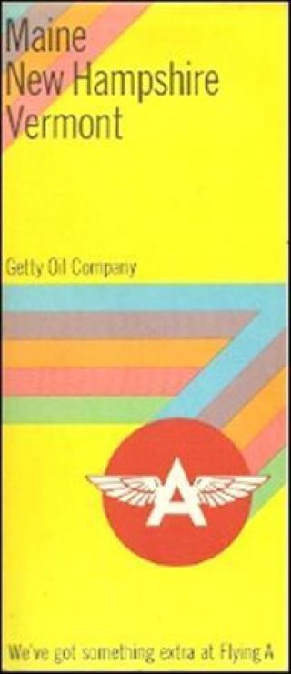
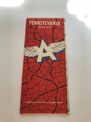
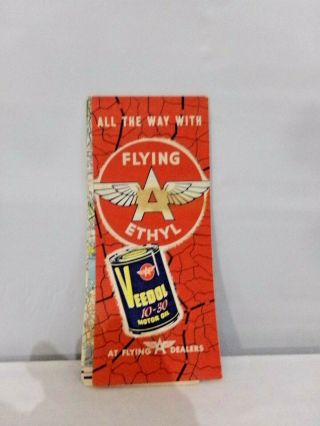
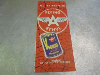
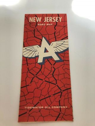
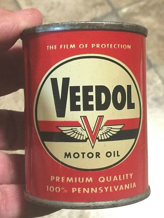
This map was distributed in 1969 by the Getty Oil Company to promote its Flying A and Veedol brands.It is datedin the legend, and the code number in the lower margin is 6669-A. There's aGetty Oil Flying A Credit Card ad on the back cover. (One year afterthis map was printed, Getty discontinued use of the Flying A brand infavor of its own Getty trademark.)
Condition: This map is in very good, lightly usedcondition, bright and clean, with no rips, tears, or writing. There's some faint spottingon the back cover.
Buy with confidence! We are always happy to combine shipping on the purchase of multipleitems, and everything we sell comes withour unconditional, money-back guarantee.
Powered by SixBit's eCommerce Solution
00698
This map opens to a generous 26½" x37½" and has great detail on old street and highway alignments, with cartographyby R.R. Donnelley & Sons.
On one side there is a road map ofNew York City, with an inset street plan of lower Manhattan; on theother side there's a map... of Long Island and the New York metropolitanarea.
This map was distributed in 1969 by the Getty Oil Company to promote its Flying A and Veedol brands.It is datedin the legend, and the code number in the lower margin is 6669-A. There's aGetty Oil Flying A Credit Card ad on the back cover. (One year afterthis map was printed, Getty discontinued use of the Flying A brand infavor of its own Getty trademark.)
Condition: This map is in very good, lightly usedcondition, bright and clean, with no rips, tears, or writing. There's some faint spottingon the back cover.
Buy with confidence! We are always happy to combine shipping on the purchase of multipleitems, and everything we sell comes withour unconditional, money-back guarantee.
Powered by SixBit's eCommerce Solution
00698