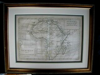
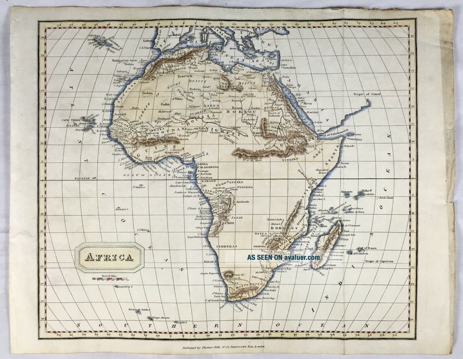
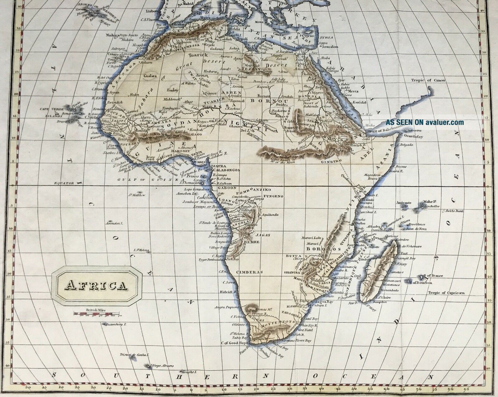
Antique Hand Coloured Copper Engraved Map Of Africa, C1818 Kelly
Item History & Price
| Reference Number: Avaluer:25523730 | Cartographer/Publisher: Thomas Kelly |
| Country/Region: Africa | Original/Reproduction: Antique Original |
| Year: c1818 |
KELLY, Thomas (Publisher) ~ Map of Africa. (Antique Hand Coloured Copper Engraved)
Thomas Kelly, No 53 Paternoster Row, London, c1818
Antique hand coloured copper engraved folding map titled Africa. Paper Size (263 by 338 mm). Image (243 by 288 mm). Published by Thomas Kelly, No 53 Paternoster Row, London, c1818. Engraved by A. Findlay. Paper watermarked 1818. Vertical crease marks where map would have been folded. Small pin hole to blank margin, and light creasing to... edges. One blank edge a little dusty looking, otherwise in very good bright condition.
The map was most likely from ‘A New and Complete System of Universal Geography by Christopher Kelly’, first issued 1815-1817, with further editions recorded in 1818 and later. Thomas Kelly was active in 17-53 Paternoster Row, London, between 1815-1830 (British Museum)