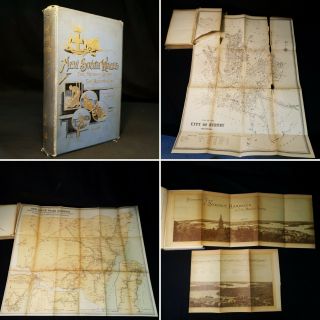
1844 MAP SOUTH WALES EASTERN AUSTRALIA SYDNEY INSET OUTLINE COLOUR
Item History & Price
| Reference Number: Avaluer:27153 | State/Territory: New South Wales, South Australia |
| Year: 1844 | Original/Reproduction: Antique Original |
| Country/Region: Australia | Format: Atlas Map |
| Era: 1800s |
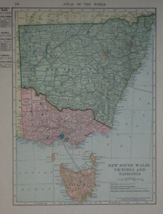
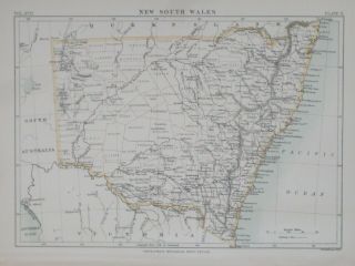
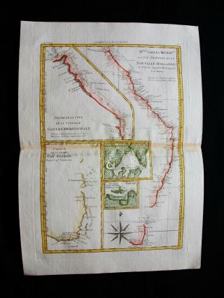
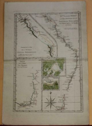
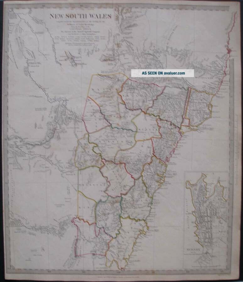
NEW SOUTH WALESThis map covers eastern Australia from Solitary Island to Bateman Bay. Although the coastlines are accurately mapped, much of the interior then was relatively unknown. An inset in the lower right details Sydney from the New South Wales Almanac. Part of the small text under the title states : From the M.S. maps in the Colonial Office, The surveys of the Australian Agricultural Company, and the routes of Allan Cunningham.
A detailed map with origin...al outline colour. Dated 1833 below the map. From the S.D.U.K. Atlas published in 1844.
CONDITION
One single sheet printed on one side only.
All complete, as published.
Size of full sheet is 16 by 13½ inches.This item will be mailed in a postal tube.PLEASE NOTE
We are based in the U.K.
Goods are well packaged and sent as soon as payment is accepted. Visit memories books prints collectables for all our collectable items.Payments must be made within 14 days of purchase.
Thank you for looking.