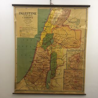
1961 Map Of Palestine At The Time Of The Jewish Roman War 66 To 73 AD


Item History & Price
| Reference Number: Avaluer:28537760 | Modified Item: No |
| Page Size: 9.25" x 12.25" approximately | Country/Region of Manufacture: United States |
| Year: 1961 |
Always Originals - Never Reproductions
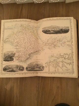
Palestine at the Time of the Roman War 66 to 73 AD - measures 6" x 8.5" approximately. The map shows Judaea, Samaria, Galilee, Decapolis, and more and is keyed by colors to: territory under Roman procurator, Kingdom of Herod Agrippa II, Decapolis, Autonomous city states of Ascalon, and Roman province of Syria.
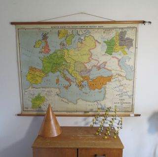
On the back is a map of The Roman Empire at its Greatest Extent c. 117 AD - measures 9" x 6.5" approximately.&nbs...p; This map shows the Roman empire from Britain and Iberia to the mouth of the Euphrates River at the Persian Gulf (near present Basrah in Iraq).
The map is shipped in a new poly bag inside a new sturdy mailing tube. International buyers: customs fees, taxes, handling fees, etc. charged by your country are your responsibility. Please don't ask me to under-declare your item or to declare it as a gift.
MAP 0025
Palestine at the Time of the Roman War 66 to 73 AD - measures 6" x 8.5" approximately. The map shows Judaea, Samaria, Galilee, Decapolis, and more and is keyed by colors to: territory under Roman procurator, Kingdom of Herod Agrippa II, Decapolis, Autonomous city states of Ascalon, and Roman province of Syria.
On the back is a map of The Roman Empire at its Greatest Extent c. 117 AD - measures 9" x 6.5" approximately.&nbs...p; This map shows the Roman empire from Britain and Iberia to the mouth of the Euphrates River at the Persian Gulf (near present Basrah in Iraq).
The map is shipped in a new poly bag inside a new sturdy mailing tube. International buyers: customs fees, taxes, handling fees, etc. charged by your country are your responsibility. Please don't ask me to under-declare your item or to declare it as a gift.
MAP 0025