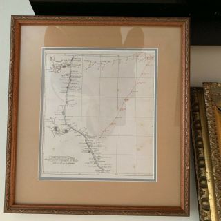
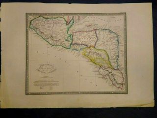
Antique Map COLOMBIA C1840 By W. Orr Engraved John Dower Outline Color
Item History & Price
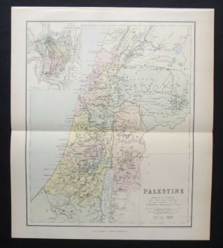
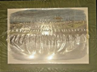
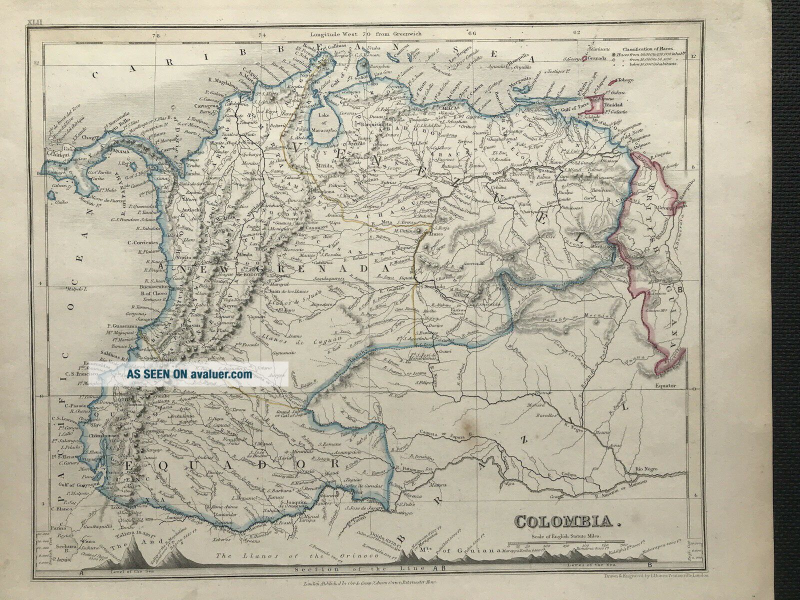
Antique Map of COLOMBIA c1840
Published: London by William Orr & Comp, Amen Corner, Paternoster Row. Drawn and engraved by John Dower. An interesting feature in the bottom border is the comparison of all the major mountains and hills
Good condition, fine detail, some age tone, some crease to boarders, outline color,
Approx engraved area: 210mm x 260mm (8.25" x 10")
Blank to verso as published
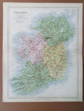
ANOTHER GENUINE ANTIQUE MAP
FROM RARE MAPS AND PRINTS
...
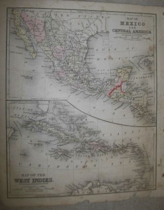
Published: London by William Orr & Comp, Amen Corner, Paternoster Row. Drawn and engraved by John Dower. An interesting feature in the bottom border is the comparison of all the major mountains and hills
Good condition, fine detail, some age tone, some crease to boarders, outline color,
Approx engraved area: 210mm x 260mm (8.25" x 10")
Blank to verso as published
ANOTHER GENUINE ANTIQUE MAP
FROM RARE MAPS AND PRINTS
...