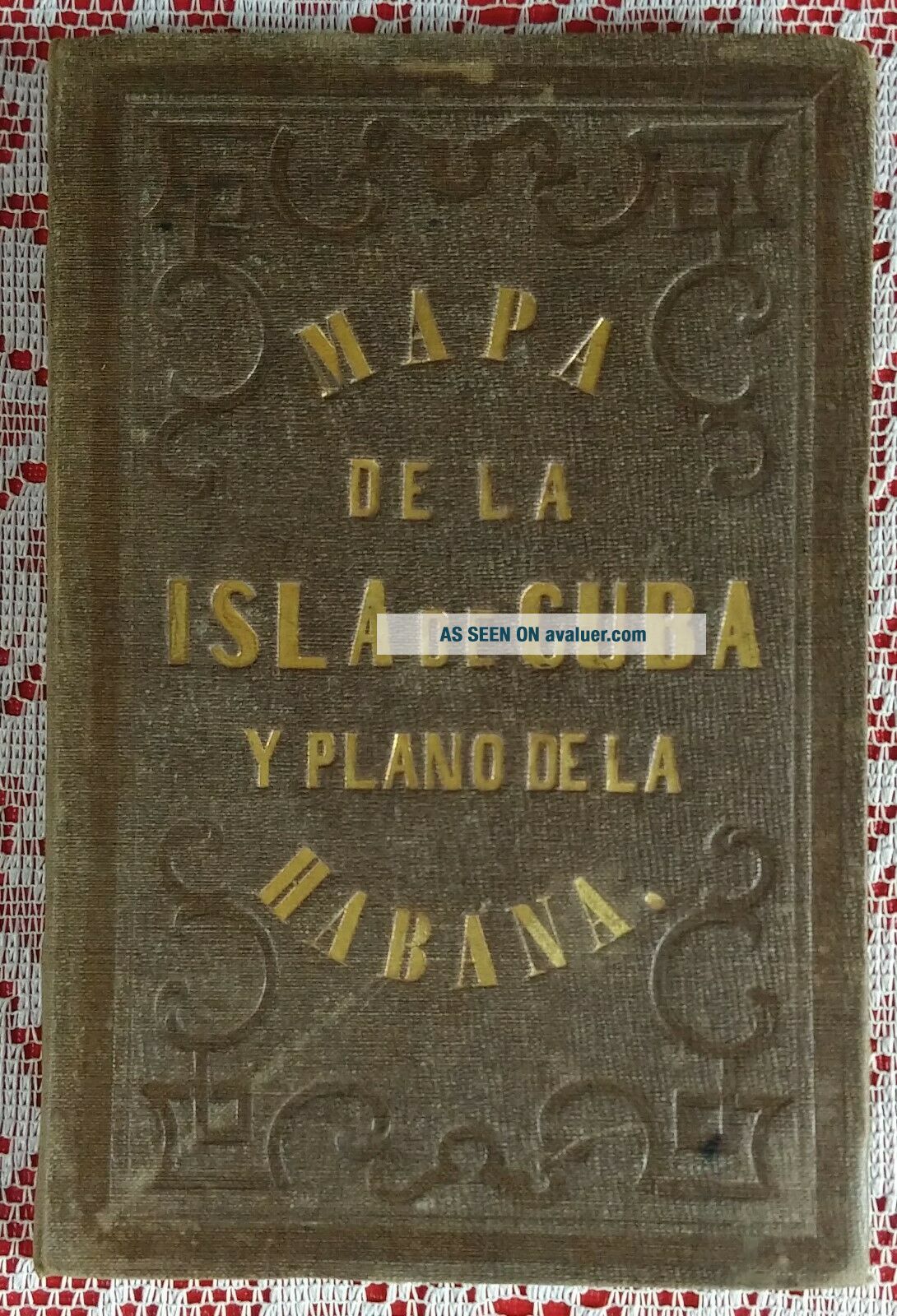
Antique Mapa De La Isla De Cuba Y Plano De La Habana 1853


Item History & Price
| Reference Number: Avaluer:30637 | Cartographer/Publisher: B. May Y Ca |
| Year: 1853 | Original/Reproduction: Antique Original |
| Date Range: 1800-1899 | Format: Historical Map |
| Country/Region: Cuba |
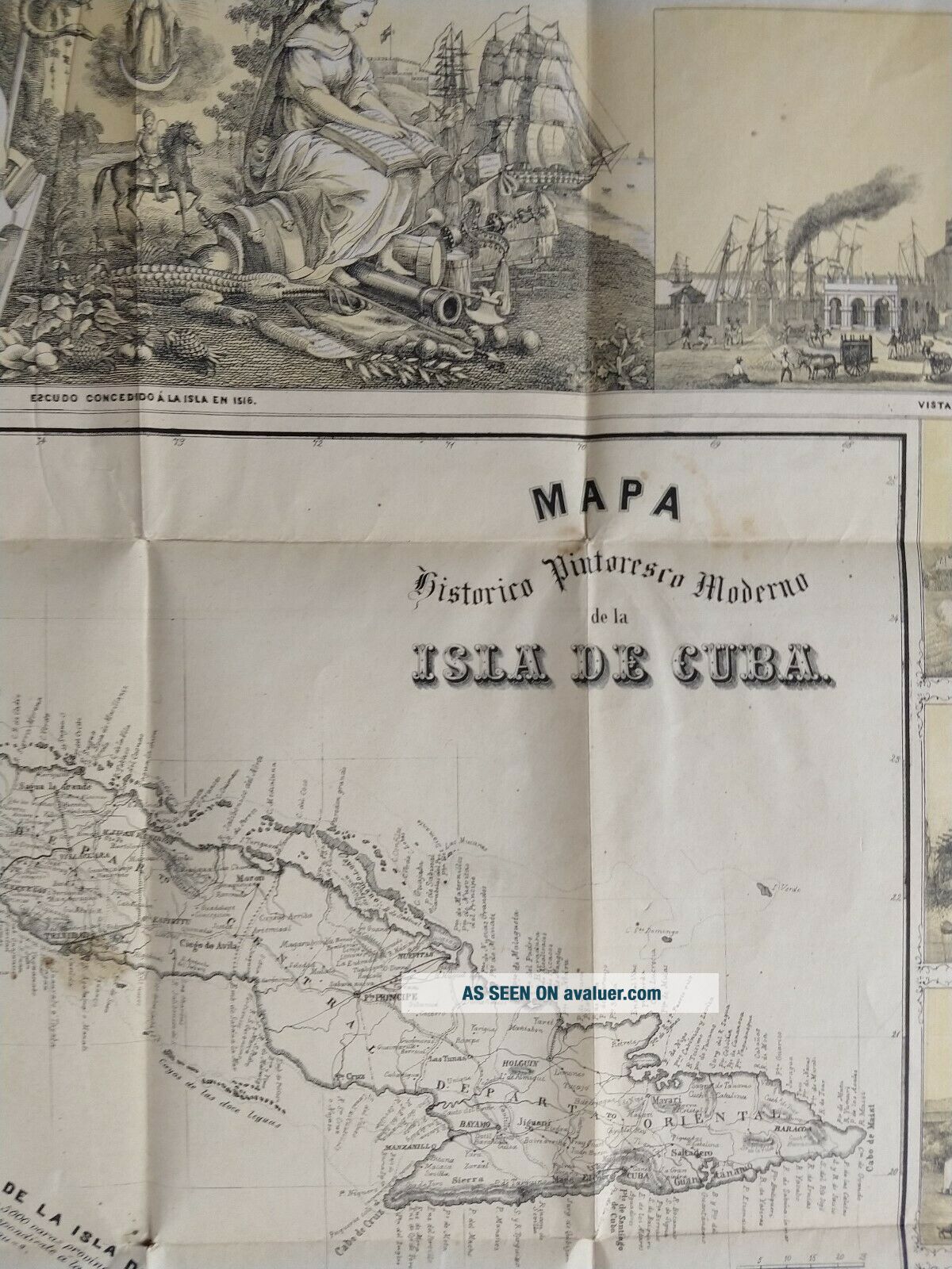
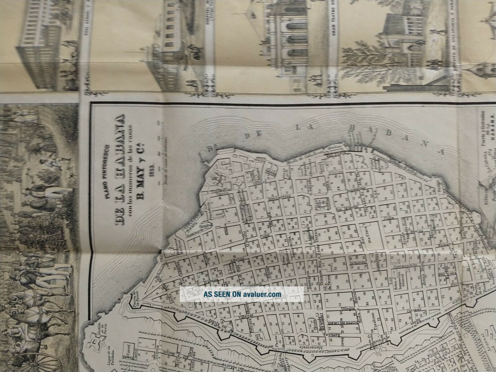
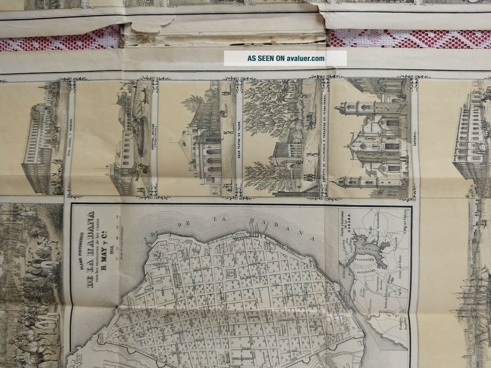
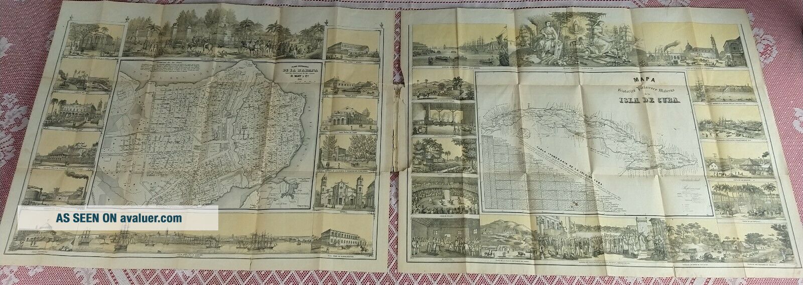
Antique Mapa de la isla De cuba Y plano de la habana 1853.
Shows street names, house numbers, buildings, fortifications, public institutions, and military facilities in Havana, CubaExisting and proposed roads and railroads, division boundaries, cities, towns, and coastline detail for the island of Cuba.
2 maps on 2 sheets : color (lithograph, tinted yellow) ; 27 x 34 cm and 25 x 34, sheets 46 x 59 cm, folded in cover 17 x 11 cm.