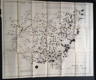
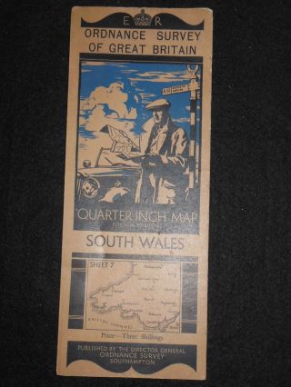
Map Of South Wales Showing Rainfall In 1881.


Item History & Price

Information:
Reference Number: Avaluer:30763879Cartographer/Publisher: J. Taylor
Format: Folding MapState/Territory: New South Wales
Type: Rainfall mapPrinting Technique: Lithography
Year: 1881Original/Reproduction: Antique Original
Date Range: 1800-1899
Original Description:
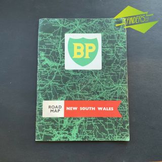
Rainfall map for New South Wales for the week of feb 2-9. in 1881.
size is 21x20.25 inches
International shipping will be in standard padded envelope to avoid customs delay unless other specific shipping requirements are requested at cost.


    Similar items


  • Rare Vintage Geographia Map Of England & Wales Showing Counties In Colour

    Rare Vintage Geographia Map Of England & Wales Showing Counties In Colour

  • Antique " Geographia " Map Of England & Wales Showing Counties In Colour 1920s

    Antique " Geographia " Map Of England & Wales Showing Counties In Colour 1920s

  • Rainfall Map Of South Wales,  Australia 1885

    Rainfall Map Of South Wales, Australia 1885

  • Scarce 1835 Smith

    Scarce 1835 Smith ' S Map Of South America Showing Gran Columbia Rare

  • 1885 Map Of South Carolina Showing Railroads - Map Of Georgia On Reverse

    1885 Map Of South Carolina Showing Railroads - Map Of Georgia On Reverse

  • Vintage Pattison

    Vintage Pattison ' S Whiskey Cyclists Road Map Of South Wales C1900 [17025]

  • Vintage 1960

    Vintage 1960 ' S Bp Road Map Of South Wales Bowser Oil Bottle Tin Can Petrol

  • Vintage Ordnance Survey Map Of South Wales (1933 - 1950s) Cardiff,  Swansea,  Brecon

    Vintage Ordnance Survey Map Of South Wales (1933 - 1950s) Cardiff, Swansea, Brecon


    • You might also like


Avaluer          About Us          Privacy Policy          Contact Us          UP
© 2022, avaluer.net, Inc. or its affiliates