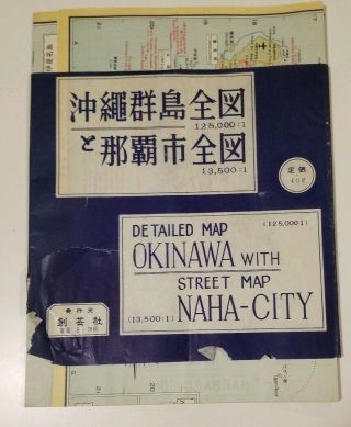
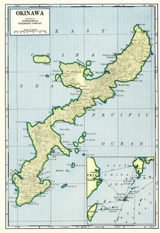
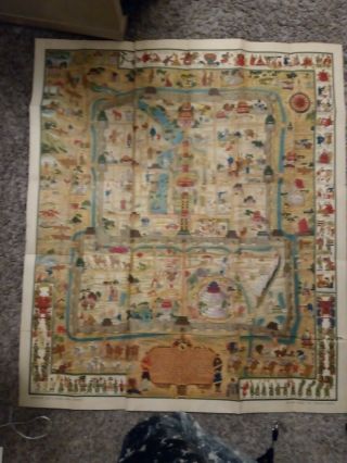
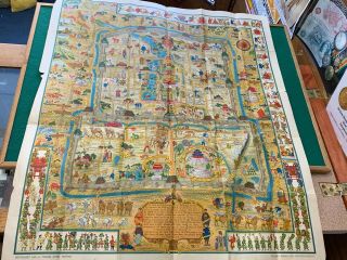
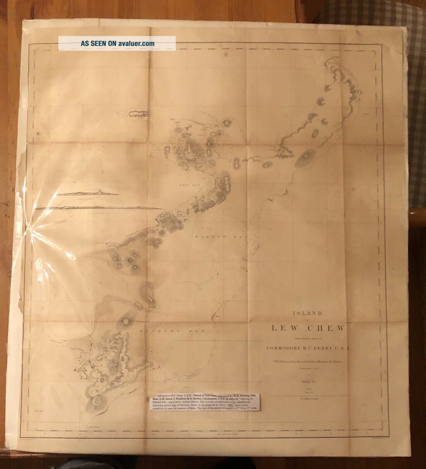
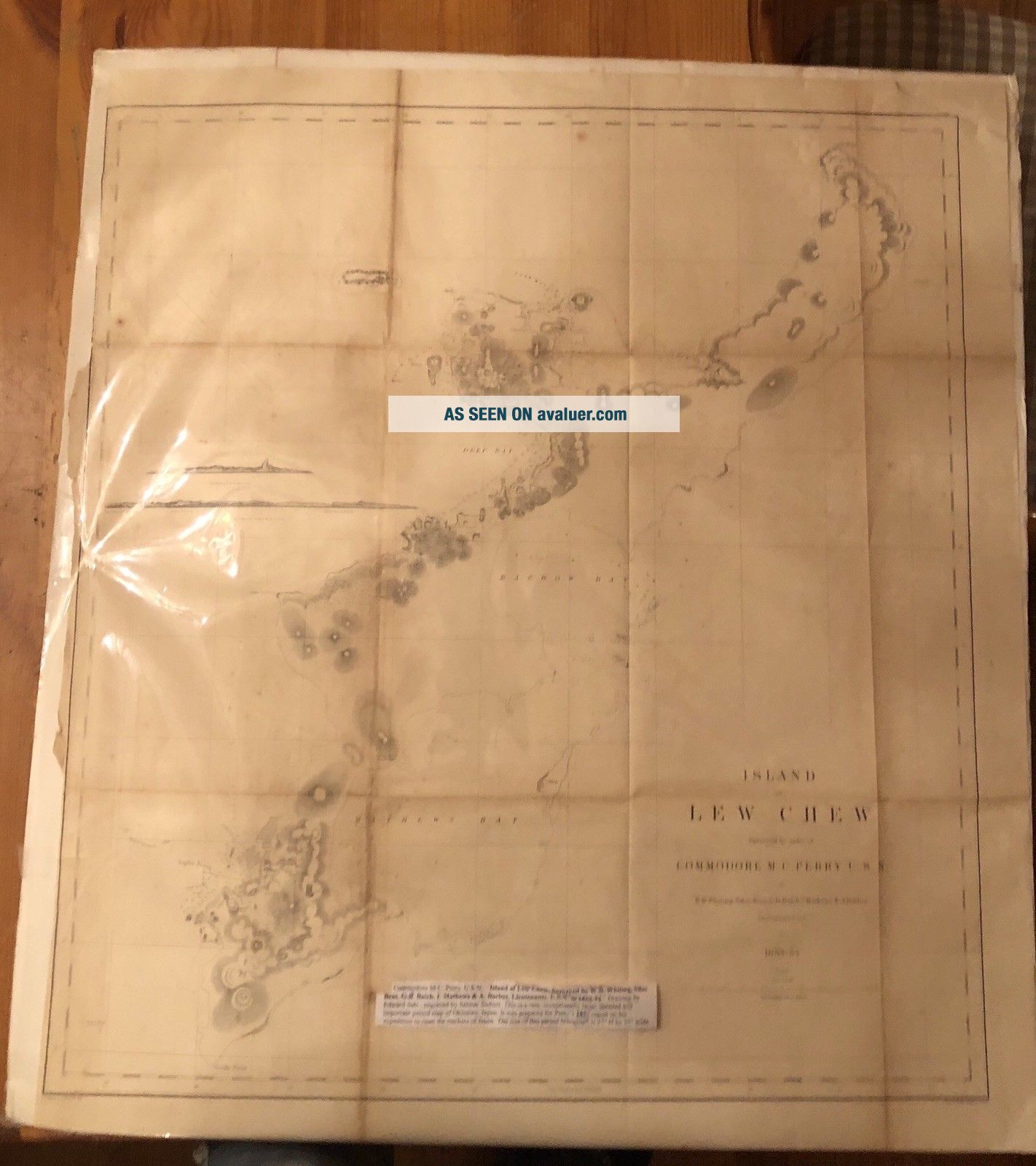
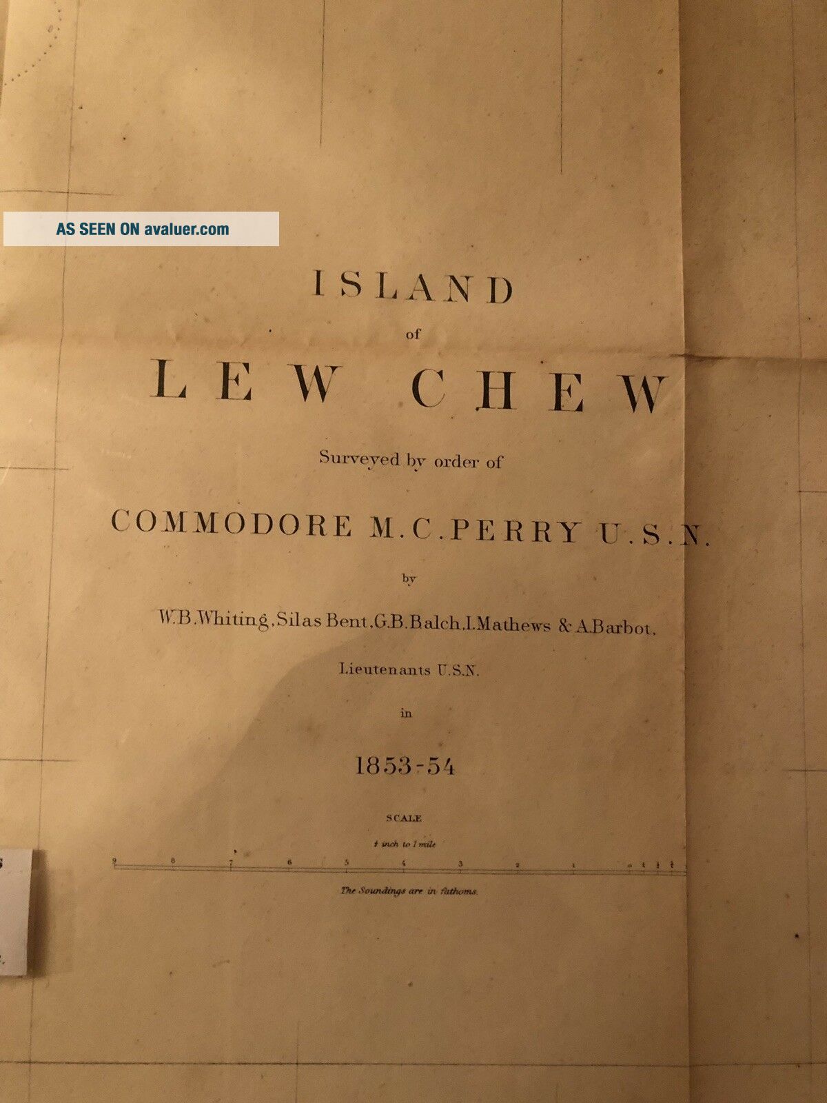
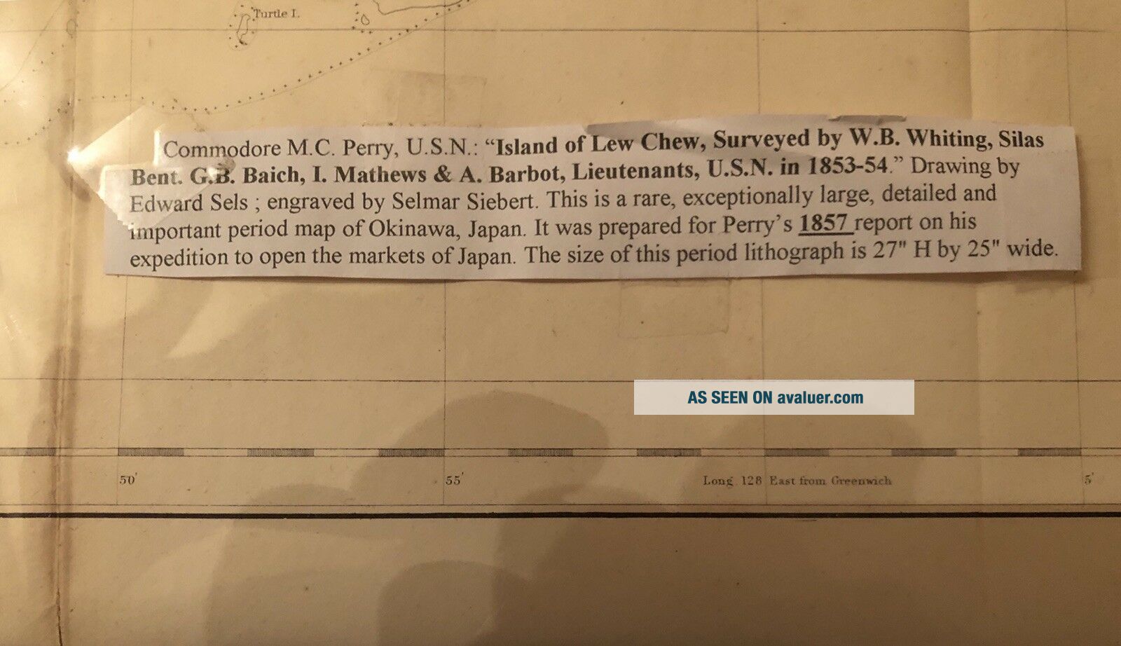
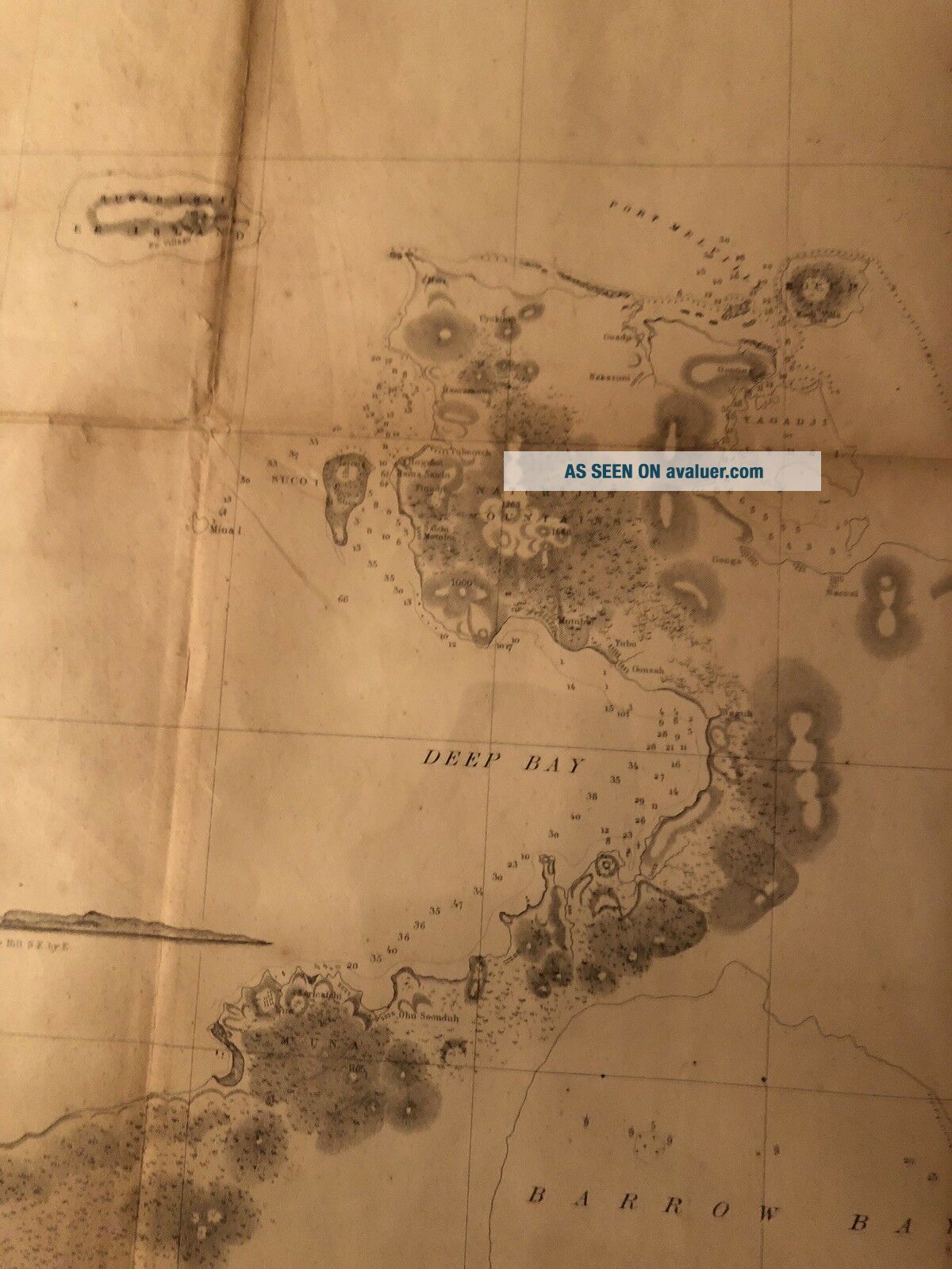
Map Of Okinawa Lew Chew Selmar Siebert Engraving Commodore Perry Antique 1857


Item History & Price

Information:
Reference Number: Avaluer:33378Year: 1857
Original Description:
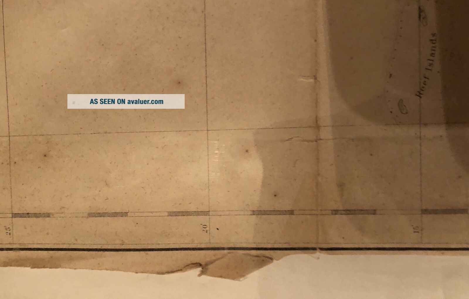
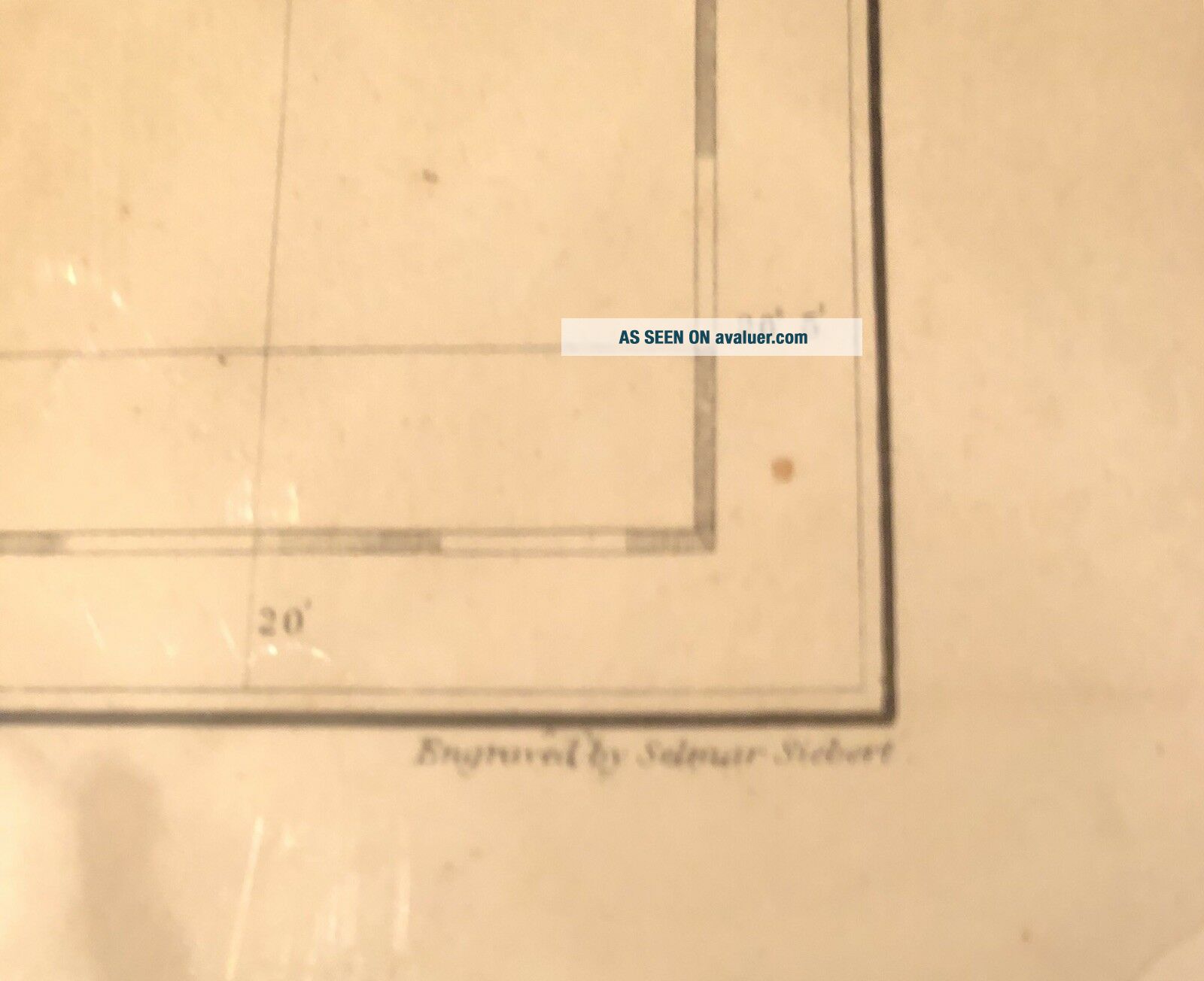
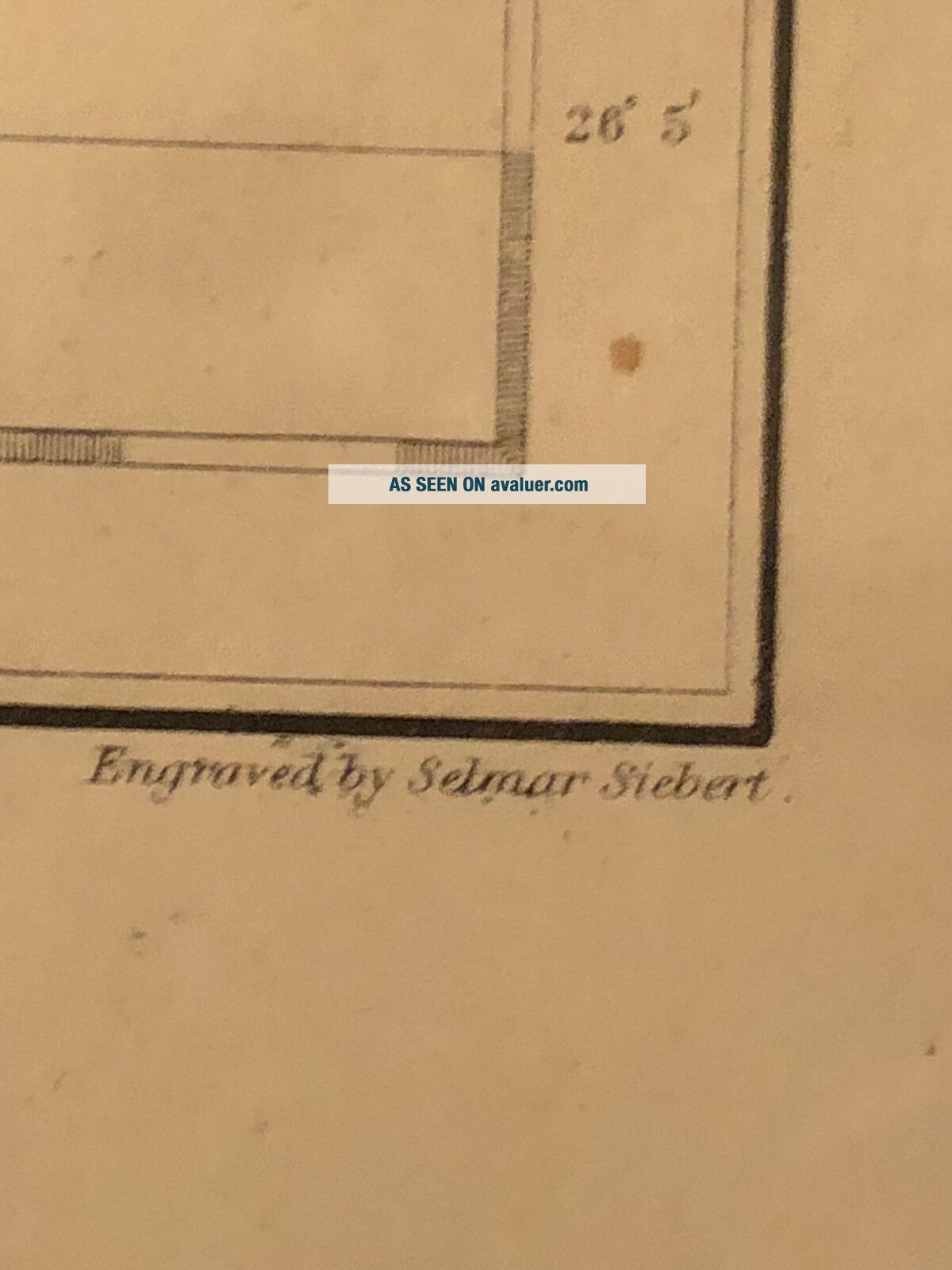
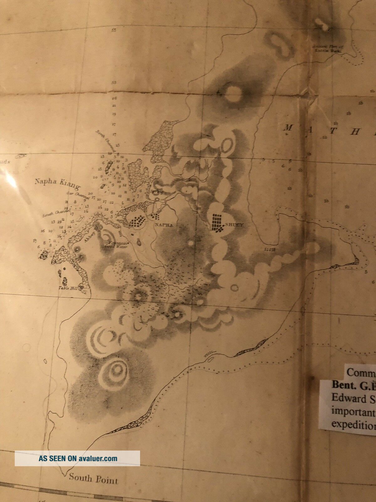
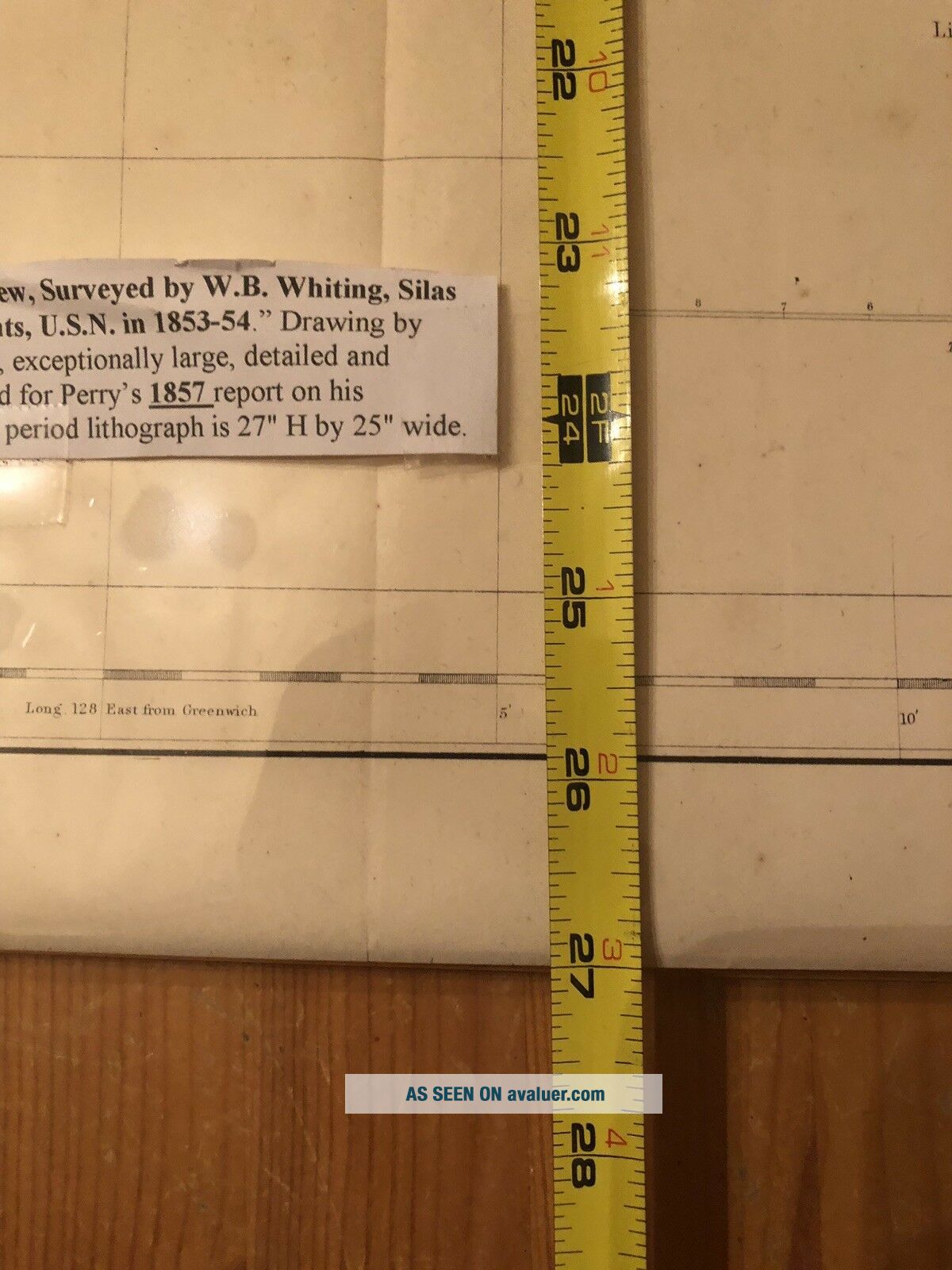
Antique map of the island of Lew Chew, now known as Okinawa. These maps were drawn by Selmar Siebert. It is based on the surveying of Commodore Perry. These were printed to assist in the opening of Japan to US markets. Great illustration. Map does show age as shown in photos. Measures 27” x 25”. I will carefully remove it from the board, fold and ship domestically for free. For additional cost I can send with the backing.


    Similar items


  • Antique Map Of Surrey C1695 By Robert Morden Engraved,  Hand Colour

    Antique Map Of Surrey C1695 By Robert Morden Engraved, Hand Colour

  • Antique City View Map Of Berlin Johann Friedrich Probst Copper Engraving 1755 - 68

    Antique City View Map Of Berlin Johann Friedrich Probst Copper Engraving 1755 - 68

  • 1831 Middle East Estruc Map Of Egypt Hand Colored Copper Plate Engraving

    1831 Middle East Estruc Map Of Egypt Hand Colored Copper Plate Engraving

  • Vintage Detailed Map Of Okinawa With Street Map Naha - City,  So - Gei - Sha

    Vintage Detailed Map Of Okinawa With Street Map Naha - City, So - Gei - Sha

  • Ryukyu 41,  Mnh.  Newspaper Week.  Map Of Okinawa,  Pencil Rocket,  1957

    Ryukyu 41, Mnh. Newspaper Week. Map Of Okinawa, Pencil Rocket, 1957

  • Map Of England,  Scotland And Ireland - Georgian Engraving Circa 1740 Framed

    Map Of England, Scotland And Ireland - Georgian Engraving Circa 1740 Framed

  • Map Of Scotland.  C1695.  Robert Morden.  Cooper Engraved.  Impressive,  Rare Map.

    Map Of Scotland. C1695. Robert Morden. Cooper Engraved. Impressive, Rare Map.

  • 1965 Vintage Map Of Okinawa Japan Map Uncommon Okinawa Map 7217

    1965 Vintage Map Of Okinawa Japan Map Uncommon Okinawa Map 7217


    • You might also like


    • Israel Holy Land Middle East Cyprus Mediterranean Sea 1730 Nicholls Antique Map

      Israel Holy Land Middle East Cyprus Mediterranean Sea 1730 Nicholls Antique Map

    • Vintage Map Of West Lake Hangzhou Hangchow China

      Vintage Map Of West Lake Hangzhou Hangchow China

    • Map 1885 Vietnam French Indochina China War Tonkin Hanoi Tuyen Quan Bac - Ninh

      Map 1885 Vietnam French Indochina China War Tonkin Hanoi Tuyen Quan Bac - Ninh

    • Vintage 1942 Battle Of Singapore Island Japanese Strategic Map Malayan Campaign

      Vintage 1942 Battle Of Singapore Island Japanese Strategic Map Malayan Campaign

    • 1936 Frank Dorn Map Of Beijing Or Peking,  China

      1936 Frank Dorn Map Of Beijing Or Peking, China

    • Persian Gulf Arabia Qatar Iran 1776 D

      Persian Gulf Arabia Qatar Iran 1776 D ' Anville Antique Copper Engraved Sea Chart

    • 1936 Chinese Pictorial Map Of Peking By Frank Dorn

      1936 Chinese Pictorial Map Of Peking By Frank Dorn

    • Vintage Nystrom Pull Down Map Western Colonialism In Asia In 1954 12128a

      Vintage Nystrom Pull Down Map Western Colonialism In Asia In 1954 12128a

Avaluer          About Us          Privacy Policy          Contact Us          UP
© 2022, avaluer.net, Inc. or its affiliates