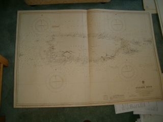
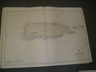
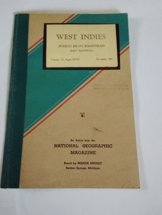
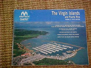
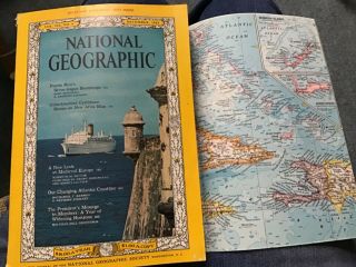
NAVIGATIONAL CHART - WEST INDIES - PUERTO RICO & VIRGIN ISLANDS - 48 X 28 - 32


Item History & Price

Information:
Reference Number: Avaluer:3657118
Original Description:
You are bidding on this huge vintage Navigational Chart for "West Indies - Puerto Rico and Virgin Islands" This chart is in very good condition. Alittle wear from Storage. Measures 48 X 28 inches. MAkes an excellent addition to any collection.


    Similar items


  • Vintage Admiralty Chart 3408 West Indies - Puerto Rico 1914 Edn

    Vintage Admiralty Chart 3408 West Indies - Puerto Rico 1914 Edn

  • Vintage Admiralty Chart 3408 West Indies - Puerto Rico 1975 Edn

    Vintage Admiralty Chart 3408 West Indies - Puerto Rico 1975 Edn

  • Navigational Chart - West Indies - Antigua - 39 X 28 - 28

    Navigational Chart - West Indies - Antigua - 39 X 28 - 28

  • Navigational Chart - West Indies,  West Coast Of St Croix Island - 42 X 35 - 23

    Navigational Chart - West Indies, West Coast Of St Croix Island - 42 X 35 - 23

  • Vintage National Geographic Article 1962 West Indies Puerto Rico

    Vintage National Geographic Article 1962 West Indies Puerto Rico ' S Bootstraps

  • 29 Large Maps And Maritime Navigation Charts - Virgin Islands & Puerto Rico

    29 Large Maps And Maritime Navigation Charts - Virgin Islands & Puerto Rico

  • Vintage Dec.  1962 National Geographic With Map West Indies/puerto Rico/president

    Vintage Dec. 1962 National Geographic With Map West Indies/puerto Rico/president

  • Rare Old Culebra Us West Indies Puerto Rico Postcard Shark Captured Off Beach

    Rare Old Culebra Us West Indies Puerto Rico Postcard Shark Captured Off Beach


    • You might also like


Avaluer          About Us          Privacy Policy          Contact Us          UP
© 2022, avaluer.net, Inc. or its affiliates