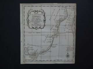
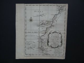
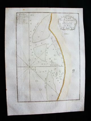
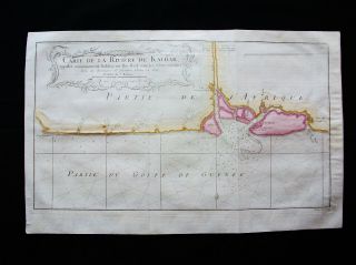
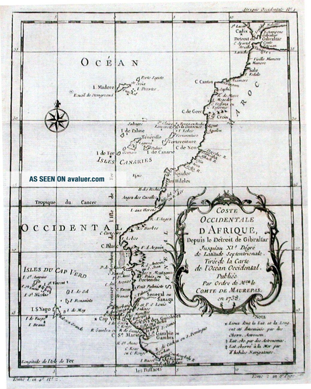
Antique Map, Coste Occidentale D ' Afrique Depuis Le Detroit De Gibraltar
Item History & Price
| Reference Number: Avaluer:36869 | Format: Sheet Map |
| Map Type: Sea Chart | Region: Africa |
| Antique/ Modern: Antique |
Description:FULL TITLE: Coste Occidentale D'Afrique Depuis le Detroit de Gibraltar, Jusqu'au XI-e Degre de Latitude Septentrionale. Tiree de la Carte de l'Ocean Occidental. Publiee Par Ordre de Mgr. Le Comte de Maurepas en 1738. An antique chart of the NW coast of Africa, from the Straits of Gibralter to the Gambia River and Cachau, including the Canary Islands, Madeira and the Cape Verde Islands.Cartographer: Bellin. J NDate: 1740Conditon:GGTechnique: Copper EngravingColour: Uncoloure...dWidth (cms) x Height (cms):19.6 x 24.6Ref:JJB0148
Powered by eBay Turbo Lister
Powered by eBay Turbo Lister