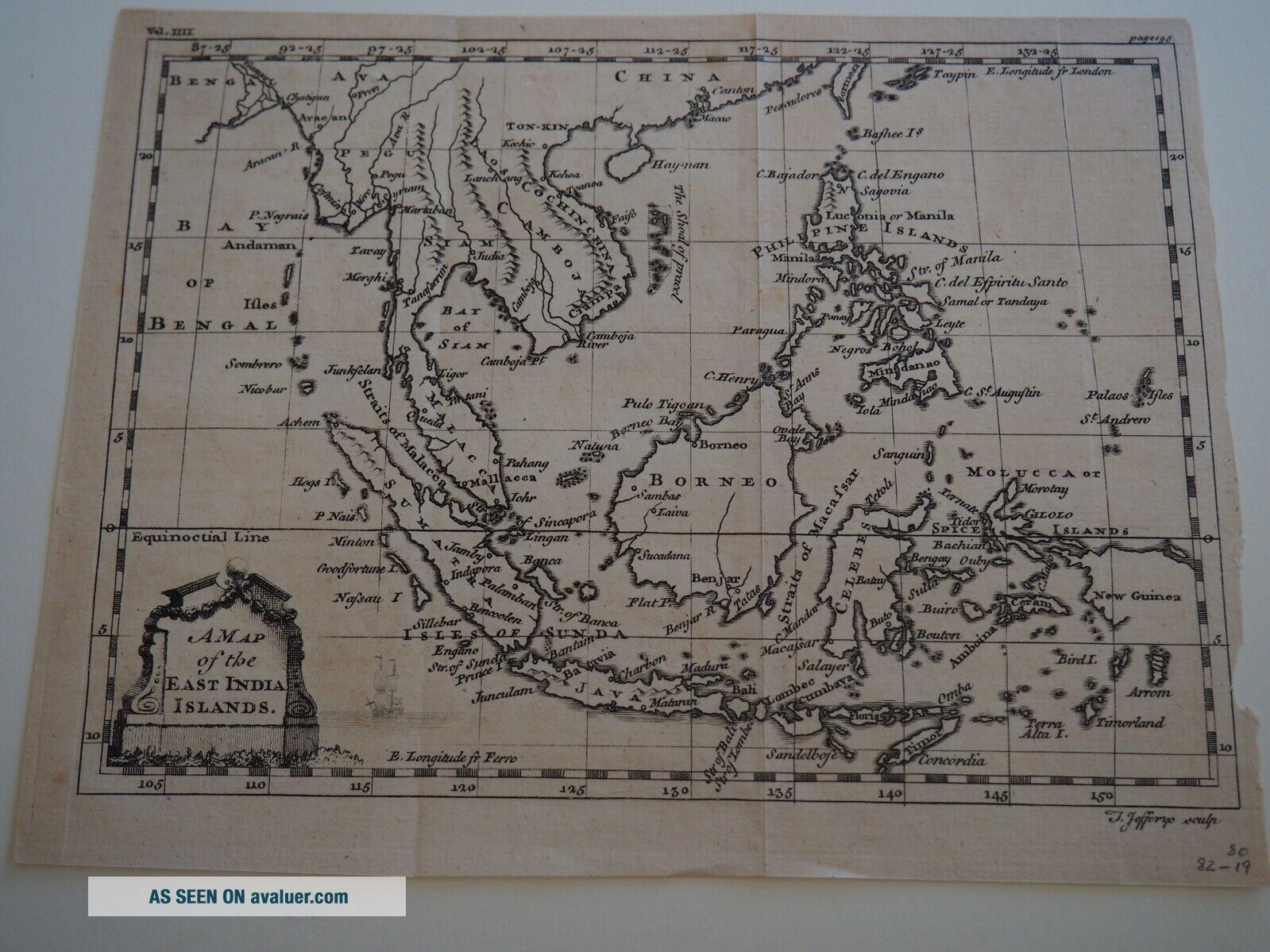
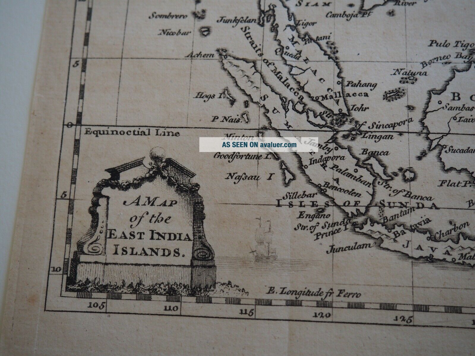
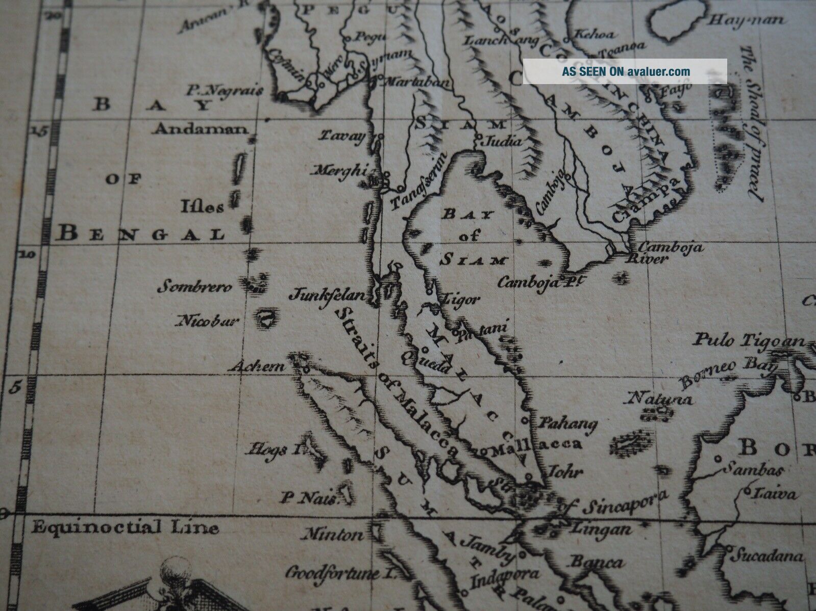
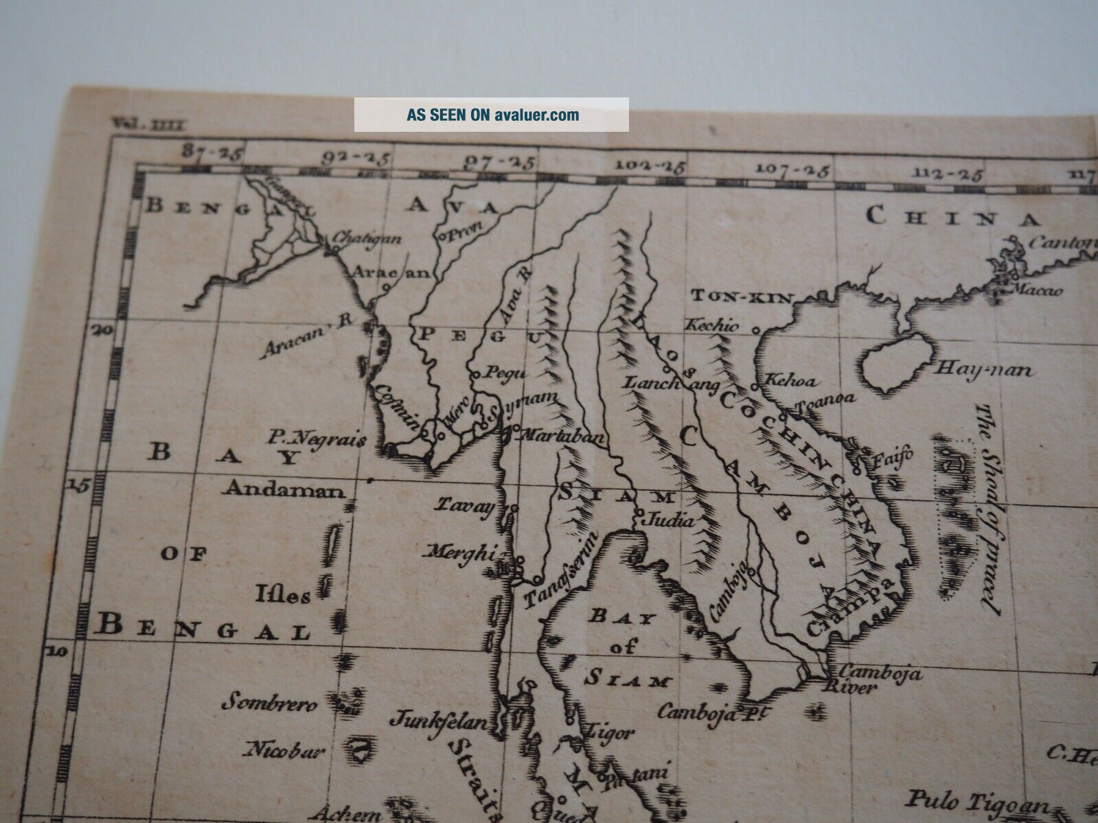
Antique Map: " A Map Of The East India Islands "
Item History & Price
| Reference Number: Avaluer:3803140 |

| Reference Number: Avaluer:3803140 |
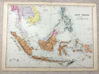
1891 Antique Map Of The East Indies Philippines Borneo 19th Century
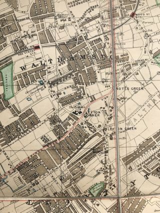
Antique Map Of The East End Of London.
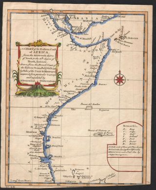
1740/paris A Chart Of The East Coast Of Africa
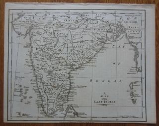
Engraved Map Of India - A Map Of The East Indies - 1781
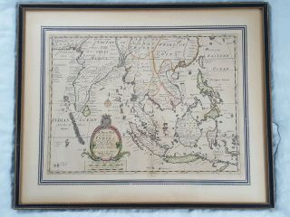
C. 1701 Sutton Nicholls Hand - Coloured Map Of The East Indies Asia
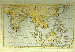
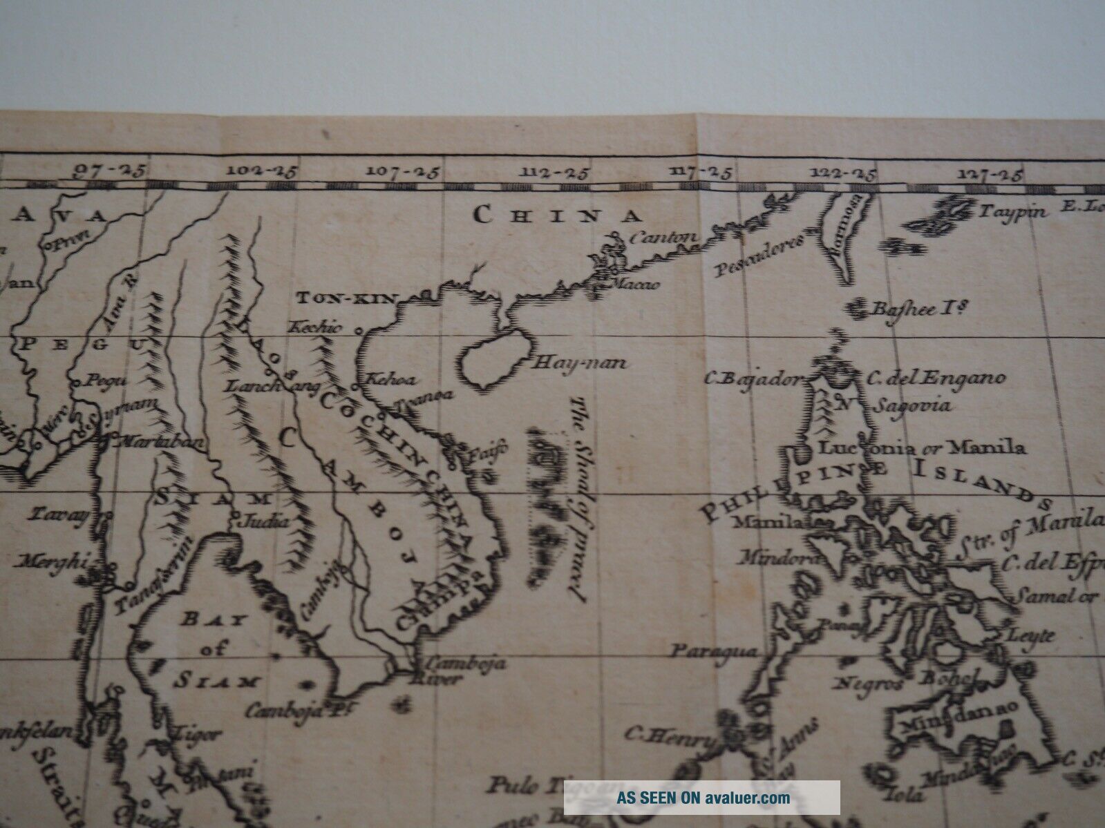
Early Map Of The East Indies - 1760
1880 Blackie & Son Antique Print A View Of The Golden Temple Of Amritsar
Extremely Rare Photo Of Hong Kong, Showing Central Victoria Township 1857
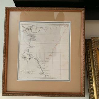
1860: Manuscript Map Of Hms Vixen Chile / Peru
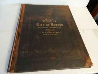
Rare Antique G. W. Bromley & Co 1891 City Of South Boston Mass Atlas 33 Plates
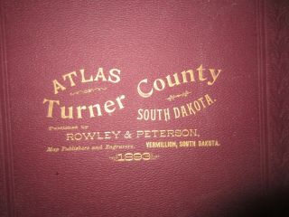
1893 Atlas Map Plat Turner County South Dakota Rowley & Peterson Antique Vtg.
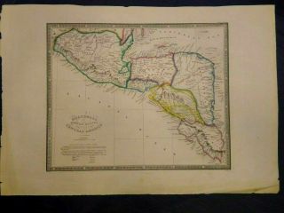
Antique Map Of Guatemala Or United States Of Central America
U. S Geological Survey Authentic Rubber Stamp 1986 South Pole
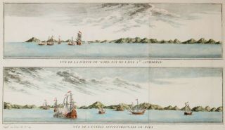
South America; Brazil, Santa Catarina Island - Bellin - 1751 - 1760
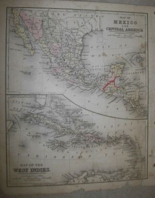
Map; Mexico & Central America - Map Of West Indies 1887