1970 Corps Of Engineers WILSON DAM & RESERVOIR Map Brochure Saline River Kansas


Item History & Price
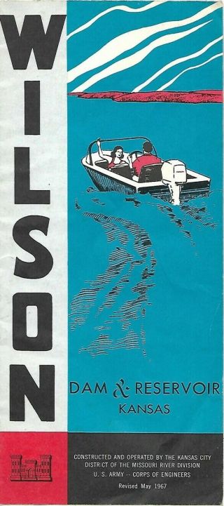
Official1970 fold-out Wilson Dam & Reservoir map brochure published bythe U.S. Corps of Engineersmore than 49 years ago.It opens to 16" x 18"and the map shows roads, railroads, parks, multipurpose pools, recreation facilities, and navigational aids.
There are statistics on the dam and reservoir, along witha handful of photos, including an image of petroglyphs or "rock carvings" found in the HillCreek Valley.
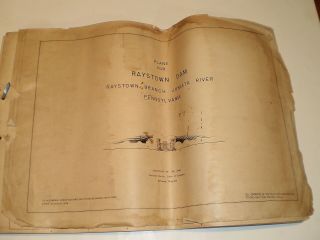
The brochure was published in 1970 and is dated on thecover....
Condition: It is in excellent condition, bright and clean, with norips, tears, or writing.Please see the scans and feel free to ask any questions.
Buy with confidence! We are always happy to combineshipping on thepurchase of multiple items — just make sure to pay for everythingat one time, not individually.
Powered by SixBit's eCommerce Solution
00063
There are statistics on the dam and reservoir, along witha handful of photos, including an image of petroglyphs or "rock carvings" found in the HillCreek Valley.
The brochure was published in 1970 and is dated on thecover....
Condition: It is in excellent condition, bright and clean, with norips, tears, or writing.Please see the scans and feel free to ask any questions.
Buy with confidence! We are always happy to combineshipping on thepurchase of multiple items — just make sure to pay for everythingat one time, not individually.
Powered by SixBit's eCommerce Solution
00063