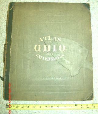
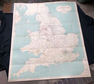
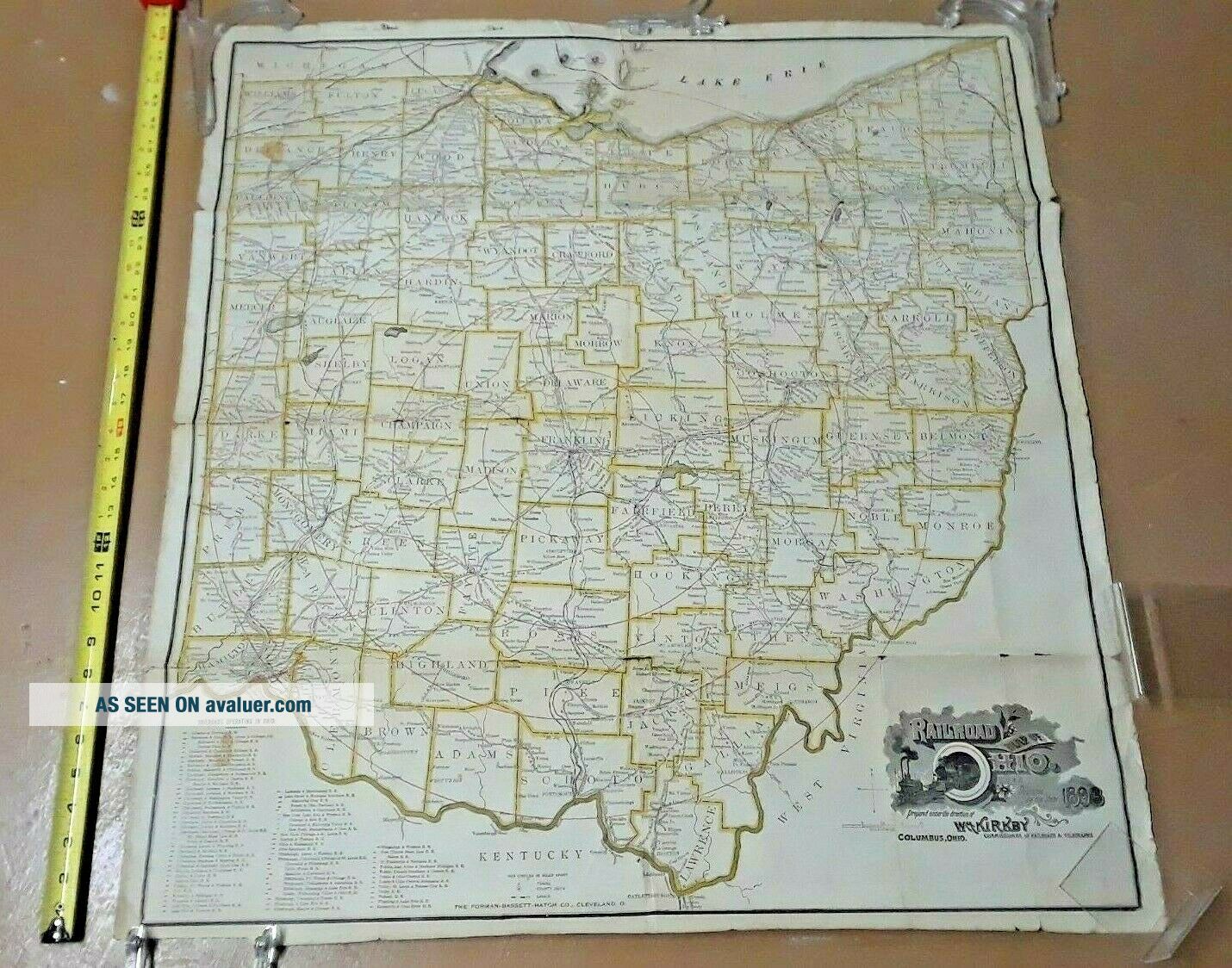
1893 Railroad Map Of Ohio Published By The State Large Size 30 " X 33 "


Item History & Price

Information:
Reference Number: Avaluer:4823394
Original Description:
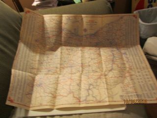
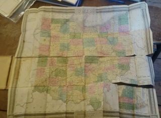
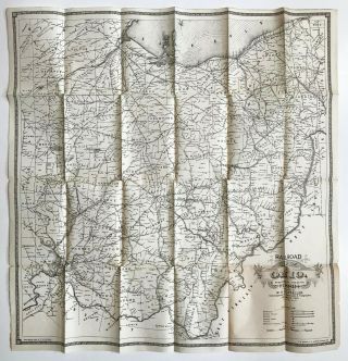
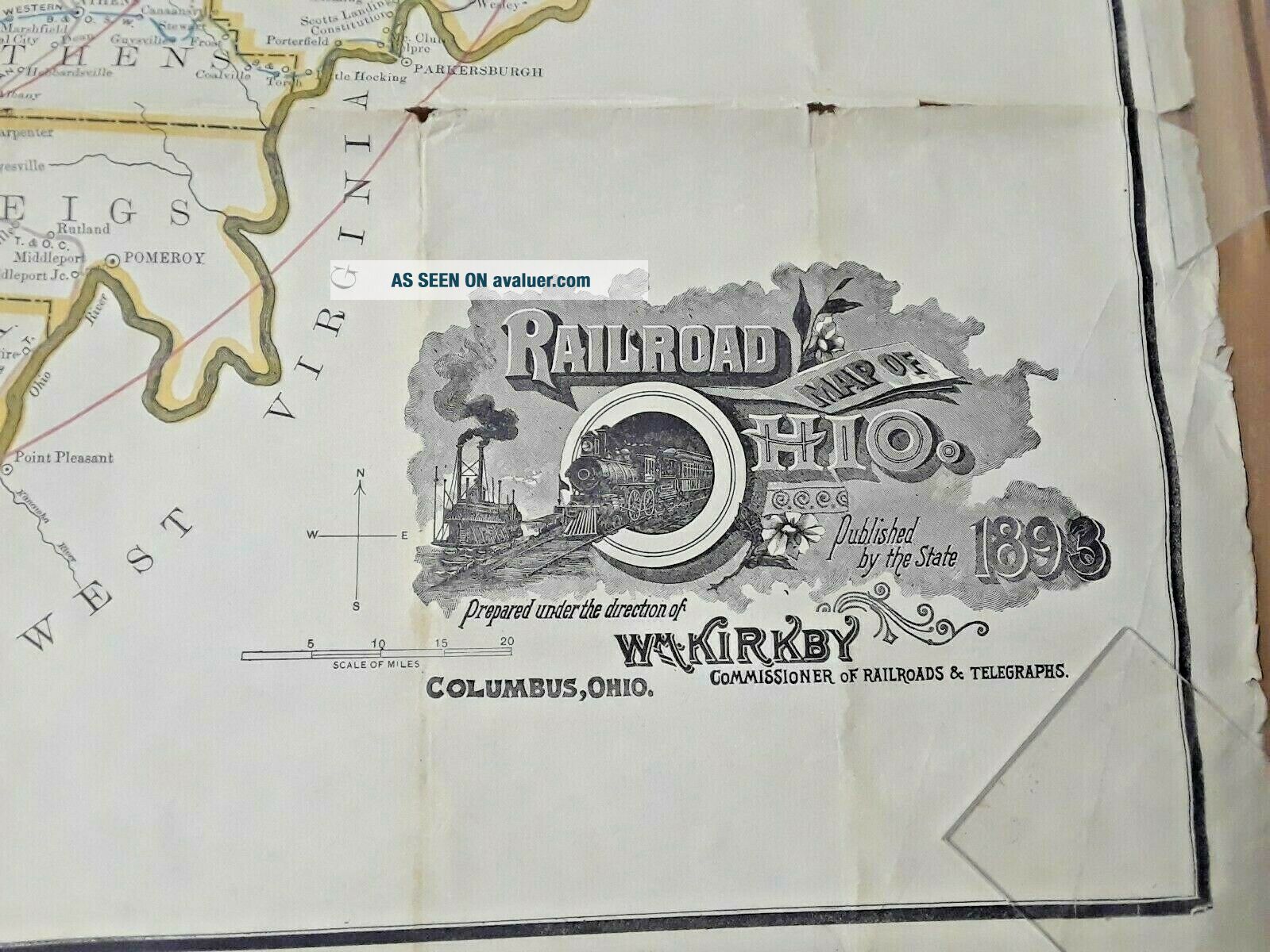
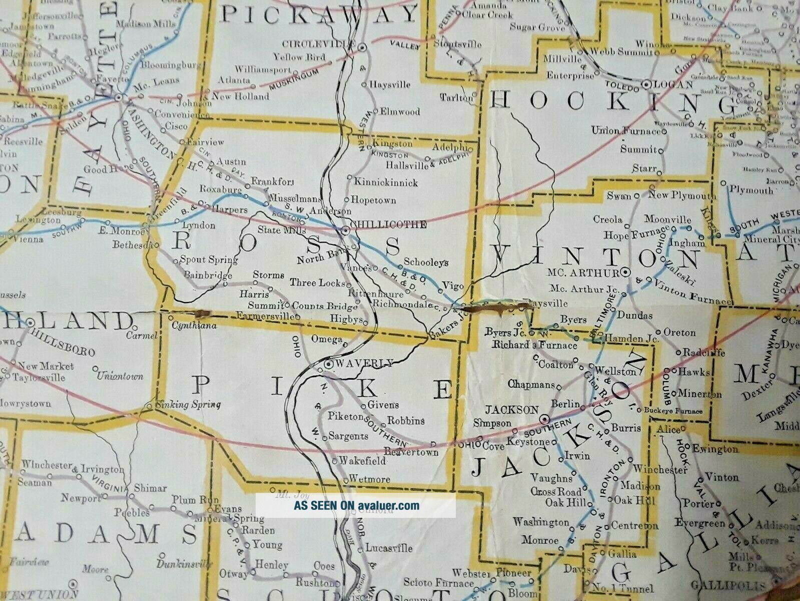
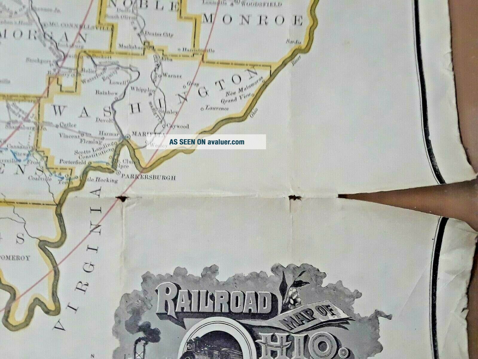
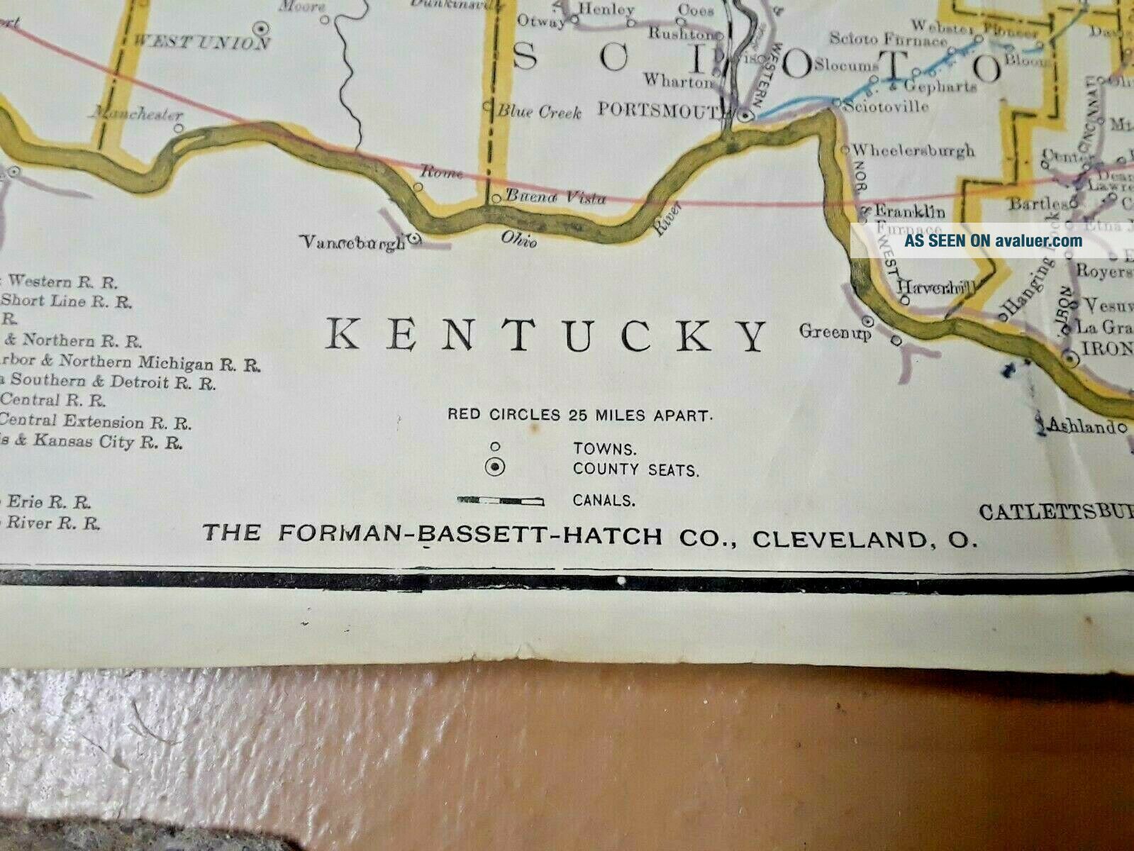
Antique original 1893 Railroad Map of Ohio, published by the State, and Prepared Under the Direction of Wm. Kirby, Commissioner of Railroads and Telegraphs, Columbus, Ohio. Published by The Forman-Bassett-Hatch Company of Cleveland, Ohio. 
Measures 33" long, and 30 1/2" wide. Printed on very thin paper.
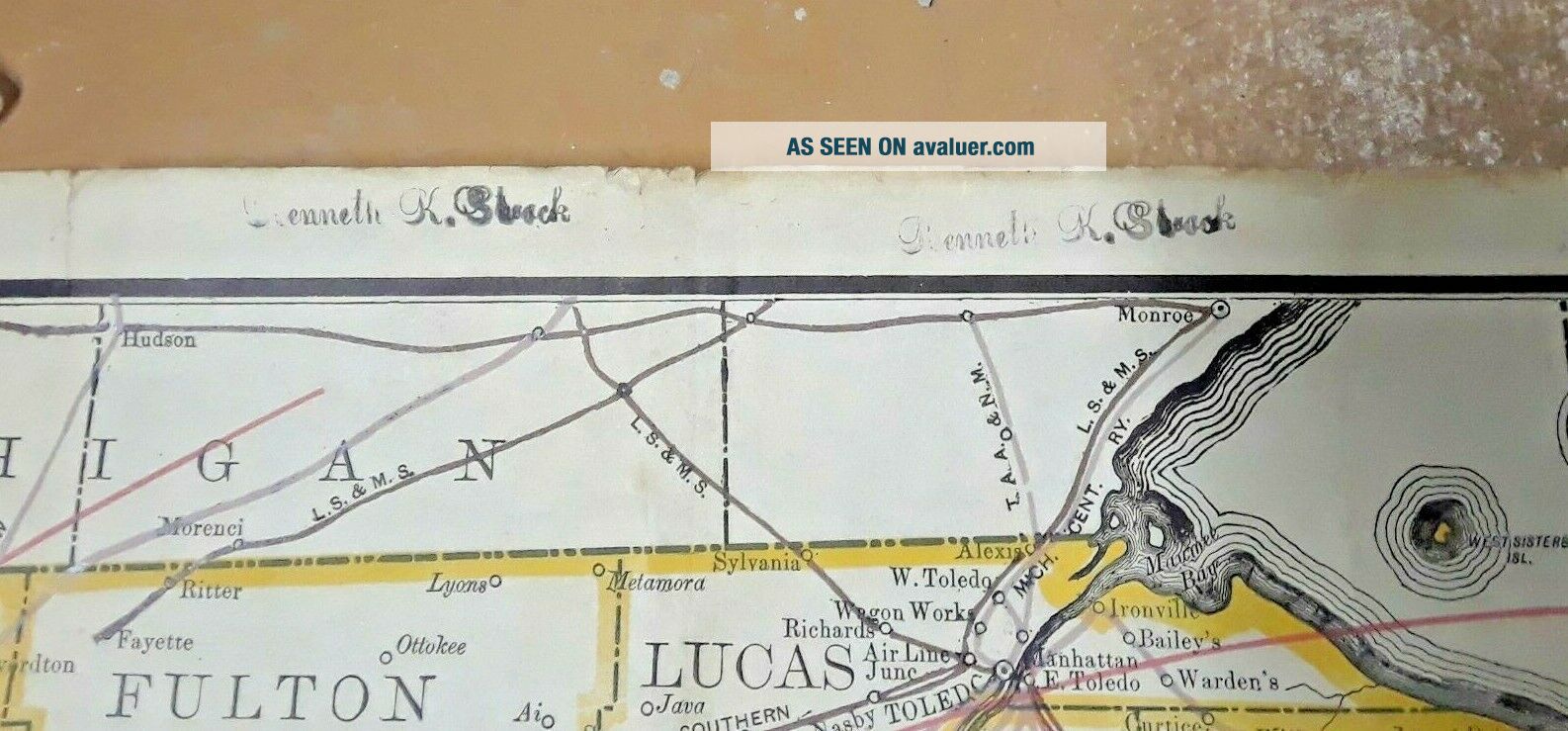
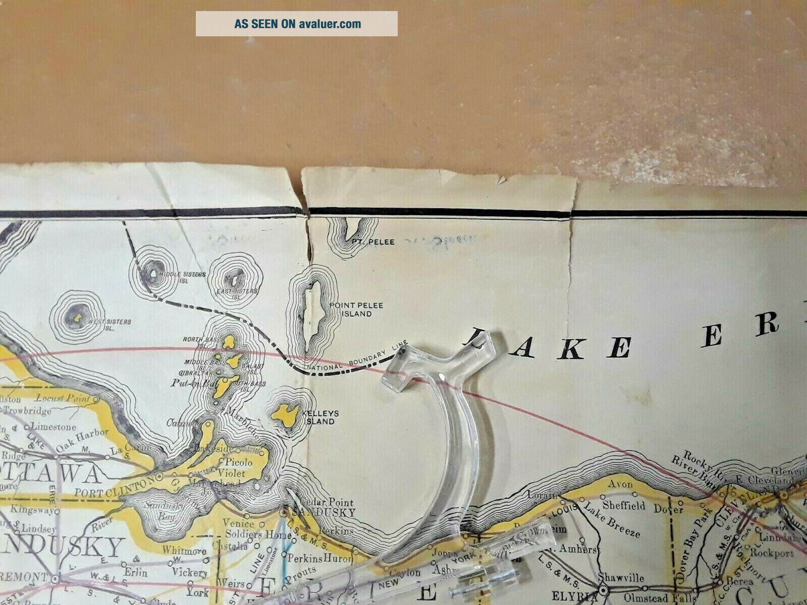
Condition is good. Map is mostly intact, but shows some chipping and tears to edges and folds. Some light stains and soil. This map was kept folded for many years and the sid...e that face up is darker. This is primarily noticeable on the reverse. Owner's name Kenneth K. Strock (?) is ink-stamped in several places on the map. 
Will be mailed in a cardboard tube mailer.
Buyer to pay shipping.
Payment expected within 3 days of auction ending. 
Please email with any questions.


    Similar items


  • 1939 The Authentic Map Of Maine Published By The National Survey Maps Booklet

    1939 The Authentic Map Of Maine Published By The National Survey Maps Booklet

  • 1930 Sohio Automobile Road Map Of Ohio Published By Standard Oil Company

    1930 Sohio Automobile Road Map Of Ohio Published By Standard Oil Company

  • Burr

    Burr ' S Pocket Map Of Ohio Published By Colton In 1833

  • Railroad Map Of Ohio.  1889.  Published By The State.

    Railroad Map Of Ohio. 1889. Published By The State.

  • Atlas Of The State Of Ohio,  1868 W/ Railroad Map Of Ohio,  Indiana & Illinoise

    Atlas Of The State Of Ohio, 1868 W/ Railroad Map Of Ohio, Indiana & Illinoise

  • 1897 Map Of Northeastern Africa By The Century Company.  Antique Map

    1897 Map Of Northeastern Africa By The Century Company. Antique Map

  • 1897 Map Of Southern Illinois By The Century Company.  Antique Map

    1897 Map Of Southern Illinois By The Century Company. Antique Map

  • 1897 Map Of Southern Africa By The Century Company.  Antique Map

    1897 Map Of Southern Africa By The Century Company. Antique Map


    • You might also like


    • Rare Railway Clearing House Official Railway Map Of England & Wales 1947

      Rare Railway Clearing House Official Railway Map Of England & Wales 1947

    • Railroads Of Pennsylvania: Encyclopedia Atlas - Thomas Taber Iii - Color Maps

      Railroads Of Pennsylvania: Encyclopedia Atlas - Thomas Taber Iii - Color Maps

    • 12 - 25 Vintage Poster 22 X 17 Travel Poster British Columbia Mt Rocher Haze

      12 - 25 Vintage Poster 22 X 17 Travel Poster British Columbia Mt Rocher Haze

    • 1952 Milwaukee Road Switchman Photo Train System Map Art Vintage Print Ad

      1952 Milwaukee Road Switchman Photo Train System Map Art Vintage Print Ad

    • 1902 Grand Rapids & Indiana Railroad Vacation Road Borchure W/ Maps Mermaid

      1902 Grand Rapids & Indiana Railroad Vacation Road Borchure W/ Maps Mermaid

    • 1936 London Passenger Transport Board Third Annual Report And Accounts With Maps

      1936 London Passenger Transport Board Third Annual Report And Accounts With Maps

Avaluer          About Us          Privacy Policy          Contact Us          UP
© 2022, avaluer.net, Inc. or its affiliates