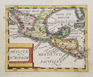
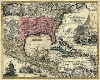
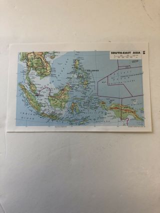
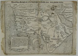
1994: Map Of Mexico And The Caribbean Print


Item History & Price
| Reference Number: Avaluer:48299957 | Year: 1994 |
| Type: Political Map |
Print from Pears: Atlas of the World 1994Maps by George Phillip
CONDITION: Good; suitable for framing. Please check the illustration for any blemishes prior to making your purchase. Virtually all antiquarian images and prints are subject to some normal aging due to use and time which is not obtrusive unless otherwise stated.
AUTHENTICITY: This is an authentic print. It is not a modern copy.
VERSO: There is different Map /maps printed on the reverse side.Either complete or part...ial if the image shows 2 sheets . It will be 2 separate sheets Page measures approximately 12.2cm x 19.2cmIf there are 2 sheets then total : 24.4cm x 38.4 ( approx).Map/Maps will be in a cellophane bagged with card and will be sent in a boarded envelope for maximum protection.We offer a no questions asked return policy.SHIPPING WORLDWIDE