Hammond Road Map IRAQ Baghdad Railroads Oil Pipelines Ethnic Groups Middle East

Item History & Price
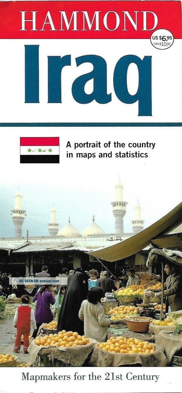
Large-formatfold-out map of Iraq, published by Hammond World Atlas Corporation. The map is bound into coatedcardboard covers and opens to a generous 25" x 41½".
It shows roads, railroads, canals, airports, oil pipelines, dams, cities, towns, and natural features.
There's an inset map of Iraq's ethnic groups and a satellite view ofBaghdad.
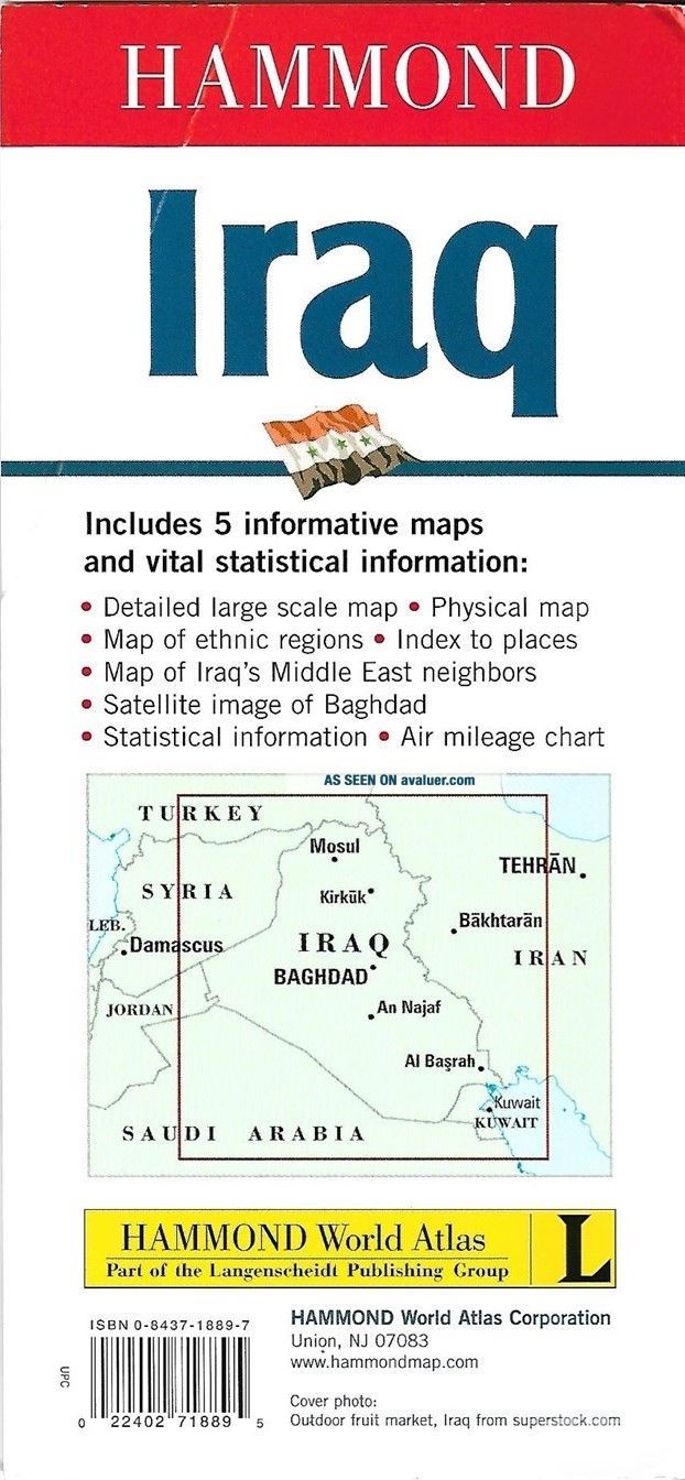
Other maps show Iraq's physical geography and neighboringcountries in the Middle East, from Istanbul to Pakistan.
This m...ap is blank on the back, with no printing on the reverse side, and it is copyrighted © 2003 in the legend—the year a US-led invasion toppled Saddam Hussein's government.
Condition: It is in excellentcondition, bright and clean, with norips, tears, or writing. Please see the scans and feel free to ask anyquestions.
Buy with confidence! We are always happy to combineshipping on thepurchase of multiple items — just make sure to pay for everythingat one time, not individually.
Powered by SixBit's eCommerce Solution
00291
It shows roads, railroads, canals, airports, oil pipelines, dams, cities, towns, and natural features.
There's an inset map of Iraq's ethnic groups and a satellite view ofBaghdad.
Other maps show Iraq's physical geography and neighboringcountries in the Middle East, from Istanbul to Pakistan.
This m...ap is blank on the back, with no printing on the reverse side, and it is copyrighted © 2003 in the legend—the year a US-led invasion toppled Saddam Hussein's government.
Condition: It is in excellentcondition, bright and clean, with norips, tears, or writing. Please see the scans and feel free to ask anyquestions.
Buy with confidence! We are always happy to combineshipping on thepurchase of multiple items — just make sure to pay for everythingat one time, not individually.
Powered by SixBit's eCommerce Solution
00291