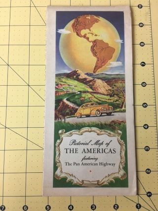
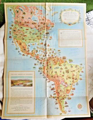
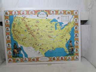
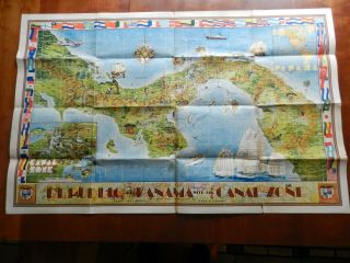
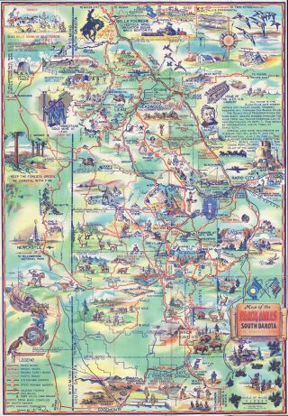
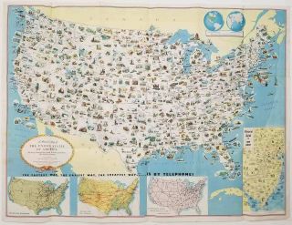
1930 Brochure Pictorial Maps Of The Americas Featuring The Pan American HWY


Item History & Price

Information:
Reference Number: Avaluer:5156104
Original Description:
1930 Brochure Pictorial Maps of the Americas Featuring the Pan American HWY. Look carefully at photos to judge condition. 

I pack with thick cardboard to assure that your items are sure to arrive safely and in one piece. I only ship USPS with Tracking. 
I am always happy to combine shipping whenever possible so be sure to look at my other items.


    Similar items


  • Vintage Brochure Pictorial Maps Of The Americas Featuring The Pan American Hwy

    Vintage Brochure Pictorial Maps Of The Americas Featuring The Pan American Hwy

  • Vintage 1930 Pictorial Map Of The Americas Featuring The Pan America Highway

    Vintage 1930 Pictorial Map Of The Americas Featuring The Pan America Highway

  • Map A Pictorial Map Of The United States Elmer Jacobs

    Map A Pictorial Map Of The United States Elmer Jacobs

  • 1930s Pure Oil Map Of The State Of Indiana

    1930s Pure Oil Map Of The State Of Indiana

  • Rare " Sheriff Danny Arnold

    Rare " Sheriff Danny Arnold ' S Pictorial Map Of The Old West ", On Board With Mount

  • Pictorial Map Of The Republic Of Panama With The Canal Zone,  Teegarden & Herman

    Pictorial Map Of The Republic Of Panama With The Canal Zone, Teegarden & Herman

  • 1940 Pyle Pictorial Map Of The Black Hills,  South Dakota

    1940 Pyle Pictorial Map Of The Black Hills, South Dakota

  • United States Resources / Pictorial Map Of The United States Of America Showing

    United States Resources / Pictorial Map Of The United States Of America Showing


    • You might also like


Avaluer          About Us          Privacy Policy          Contact Us          UP
© 2022, avaluer.net, Inc. or its affiliates