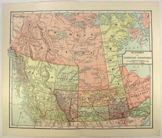
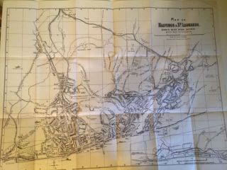
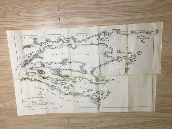
1898 Map Of 1818 Iroquois St Lawrence Wells ' Island NY Canada Treaty Of Ghent


Item History & Price
| Reference Number: Avaluer:52775091 |
Army Engineering Map / Diagram is in delicate condition with some aging, seam wear. Since our maps/diagrams can vary greatly in condition (i.e. some MAY have edge tears and/or separating seams), please view images carefully. Was removed from a historical bound book of maps and documents Published by US Government Printing Office. Comes folded on current seams (if any exist) when we ship it.
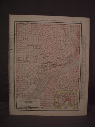
Measures about 26in x 16in.
(Item #3200)
All origi...nal maps and diagrams are crisp and sharp. Some of our low resolution photos come across as blurry.
We offer FREE shipping for purchases of 3 items or more. Please email us with any questions.
Please check out our EBay store MEMAPS for thousands ofAntique Original Foldout Maps, Diagrams, and Plates including, Canals - Dikes - Rivers - Lakes - Harbors - Dredging - Flood Control - Concrete Piers - Dams Levees - Forests - National Parks - Railroads - Military Ordnance - Naval - Nautical - Topographical - Geographical - Mining - Tunnels - Bridges - Architectural Engineering - Reservations U.S.Territories - Wharfs – U.S Army Corps of Engineers Surveys. We offer a 100% satisfaction guarantee on all purchases.
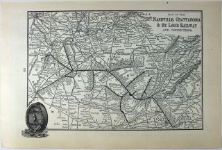