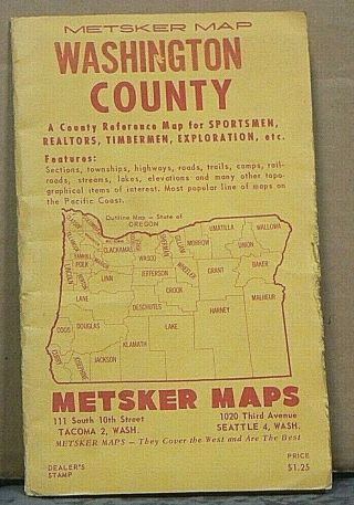
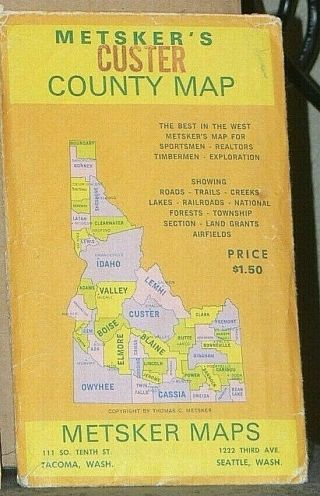
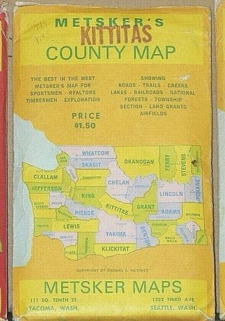
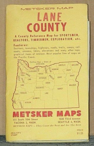
Mid 1950 ' S Metsker ' S Map Of Alameda County, California


Item History & Price

Information:
Reference Number: Avaluer:53321700Country/Region of Manufacture: United States
Original Description:
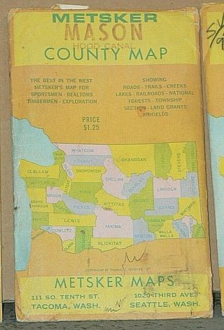
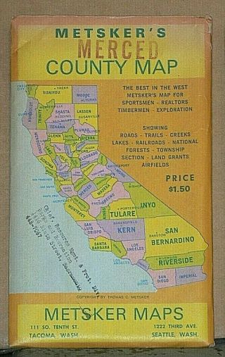
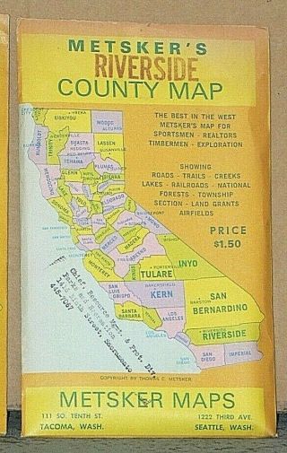
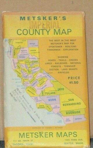
Mid 1950's Metsker's Map of Alameda County, California    (r1158) This map is in readible condition overall and can be opened and refolded safely.  It is a wonderful way to track the growth and changes that have occurred in this county over the last 64+ years. Disclaimer: Please be aware that these Maps are anywhere from 10 to 90 years old. They are printed on paper that is not acid free and in most cases have not been stored in the best way. So ...some of the maps you are buying may be in a condition that reflects both of these facts. The map you get may be worn or lightly torn along the fold lines due to the acidity of the paper and being folded for years. They may also be discolored or mottling spots again due to the acidity of the paper. The borders and fold lines of the maps may also have tears.  Any damage that is above and beyond the norm will be disclosed. Payment through Paypal only. I do combine multiple purchases for shipping. If you have bought an item and are going to bid on a future item(s) you must let me know if you want them shipped together. I usually ship by Parcel Post or First Class Postage in order to save money on shipping costs. This does mean that often the delivery time will take longer. If you prefer that your item be shipped by Priority Mail to get it quicker please let me know and I will adjust your invoice accordingly. All items are sold in "as in" condition. Should you have any problem with the item or you feel that it has been misrepresented, please contact me so that we can reach a mutually satisfactory solution. 

00006


    Similar items


  • Mid 1950

    Mid 1950 ' S Metsker ' S Map Of Washington County Oregon

  • Mid 1950

    Mid 1950 ' S Metsker ' S Map Of Custer County Idaho

  • Mid 1950

    Mid 1950 ' S Metsker ' S Map Of Kittitas County Washington

  • Early To Mid 1950

    Early To Mid 1950 ' S Metsker ' S Map Of Lane County, Oregon

  • Mid 1950

    Mid 1950 ' S Metsker ' S Map Of Mason County, Washington

  • Mid 1950

    Mid 1950 ' S Metsker ' S Map Of Merced County, California

  • Mid 1950

    Mid 1950 ' S Metsker ' S Map Of Riverside County, California

  • Mid 1950

    Mid 1950 ' S Metsker ' S Map Of Imperial County, California


    • You might also like


    • Cities Service Oil Gas Louisiana Vtg 1960 Road Map Folded Green Mcm

      Cities Service Oil Gas Louisiana Vtg 1960 Road Map Folded Green Mcm

    • 1965 Apco Road Map Of Oklahoma

      1965 Apco Road Map Of Oklahoma

    • Vintage 1938 Standard Oil Company Sohio - Ohio Road Map W/street Maps

      Vintage 1938 Standard Oil Company Sohio - Ohio Road Map W/street Maps

    • Vintage 1937 Ohio Road Map Cities Service By H M Gousha Company Usa

      Vintage 1937 Ohio Road Map Cities Service By H M Gousha Company Usa

    • 1948 Texas Road Map Sovereign Service Station Gas Gasoline Vintage Travel Tx

      1948 Texas Road Map Sovereign Service Station Gas Gasoline Vintage Travel Tx

    • 1976 San Bernardino County And Lake Mead California Road Map.  Aaa

      1976 San Bernardino County And Lake Mead California Road Map. Aaa

    • Ca,  1923 Midget Road Map Of Lake Michigan And Ajoining States Mi,  In,  Il,  Wi

      Ca, 1923 Midget Road Map Of Lake Michigan And Ajoining States Mi, In, Il, Wi

    • Vintage Gulf Oil 1940s Pennsylvania Info - Map Road Map Travel

      Vintage Gulf Oil 1940s Pennsylvania Info - Map Road Map Travel

Avaluer          About Us          Privacy Policy          Contact Us          UP
© 2022, avaluer.net, Inc. or its affiliates