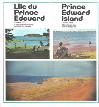
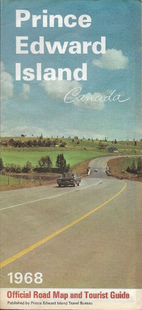
1968 PRINCE EDWARD ISLAND Official Highway Road Map Car Ferry Steamer Abegweit

Item History & Price
Handsomefold-out 1968 official highway map of Prince Edward Island, printedmorethan 50 years ago.This map opens to 18" x 25½"and has greatdetail on old highway alignments as well as car ferry and steamerroutes.
There's a mileage chart on the reverse side, with a colorphoto of the MV Abegweit"the world's most modern and powerful ice-breaker, especially built tocarrypassengers, auto, and rail traffic between Cape Tormentine, N.B., andBorden, P.E.I."
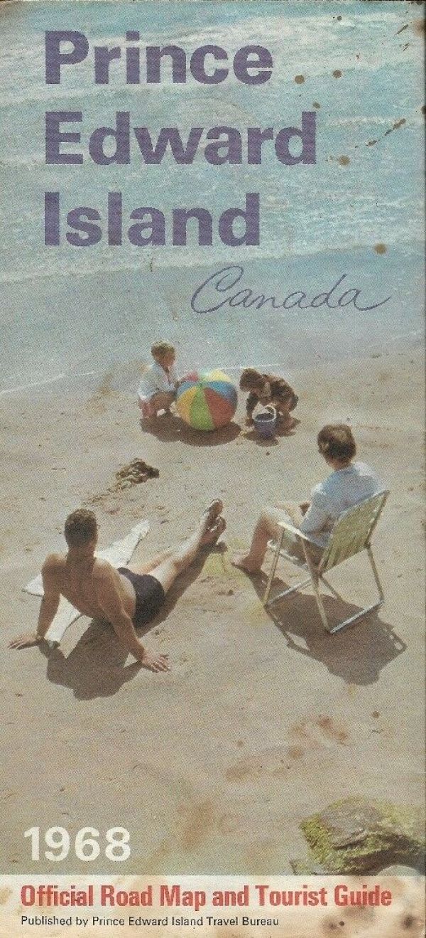
Condition: This o...fficial road map is in very good, lightly usedcondition, with norips or tears. The paper has a slight pucker, and there are some smallspots on the back cover and the corner of the mileage chart.Please see the scans and feel free to ask any questions. The price has been reducedto reflect the map's condition.
Buy with confidence! We are always happy to combineshipping on thepurchase of multiple items — just make sure to pay for everythingat one time, not individually.
Powered by SixBit's eCommerce Solution
There's a mileage chart on the reverse side, with a colorphoto of the MV Abegweit"the world's most modern and powerful ice-breaker, especially built tocarrypassengers, auto, and rail traffic between Cape Tormentine, N.B., andBorden, P.E.I."
Condition: This o...fficial road map is in very good, lightly usedcondition, with norips or tears. The paper has a slight pucker, and there are some smallspots on the back cover and the corner of the mileage chart.Please see the scans and feel free to ask any questions. The price has been reducedto reflect the map's condition.
Buy with confidence! We are always happy to combineshipping on thepurchase of multiple items — just make sure to pay for everythingat one time, not individually.
Powered by SixBit's eCommerce Solution