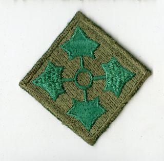
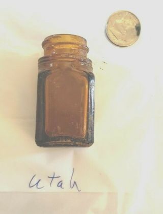
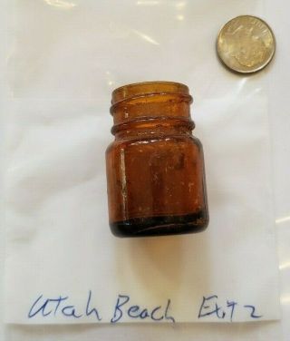
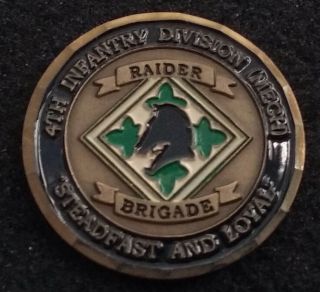
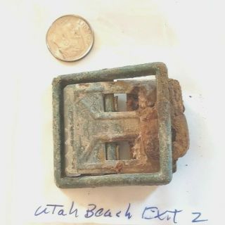
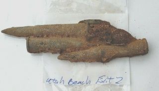
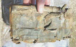
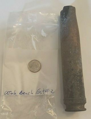
4th Infantry Utah Beach Operation Markings D - Day Normandy WWII Relic


Item History & Price
| Reference Number: Avaluer:53592469 | Original/Reproduction: Original |
There has been very high interest in this operational marked 4th Infantry D-Day map so get your bids in early!
NO RESERVE. SHIPS 2 DAY USPS WITH TRACKING.
This map was purchased from a private military arms company dealing in exclusively high end WWII memorabilia located in Belgium. This map comes from the collection of a 4th Infantry Division soldier who participated in the amphibious landing on U...tah Beach. After landing the 4th infantry soldier's objective at Utah was to secure a beachhead on the Cotentin Peninsula, the location of important port facilities at Cherbourg. The amphibious assault, primarily by the US 4th Infantry Division and 70th Tank Battalion, was supported by airborne landings of the 82nd and 101st Airborne Division. The intention was to rapidly seal off the Cotentin Peninsula, prevent the Germans from reinforcing Cherbourg, and capture the port as quickly as possible.
**What makes this map so rare is the operational pencil markings made all over the map by this US soldier leading his platoon through the German defense of France after H-Hour. There are many operational marks starting from the marking of their beach head landing point on Utah and their path too Cherbourg. It not only shows the roads and paths they took by operational markings of known German defenses in the area....some of the pencil markings are photographed in the lot of pictures but is not the only markings...there are to many and they are so far spread out to take photos of.
**The map also has beach heads GOLD and JUNO outlined in red markings...these were the beaches assaulted by British troops and were done to signify the different assault sections of the coast during the initial landings.
British made Geographical Section, General Staff, No. 2738 Published by the War Office 1914, 4th Edition 1943.
This is an extremely rare full color single side paper map of Normandy issued to the Army / Air for use during the D-Day planning and the invasion of Normandy. Map shows the locations of known trig (triangulation) points throughout Normandy including Omaha and Utah beaches as well as some of the most famous towns and locations during the battle. This same map is also featured in the permanent collection of the of the D-Day Story exhibit of the Portsmouth Museum.
Map is 1 : 250, 000 scale and measures approximately 25.5" x 36"