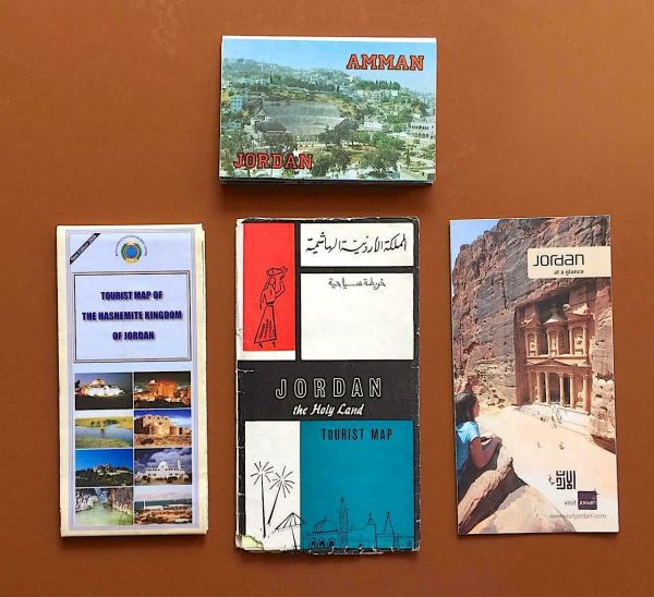
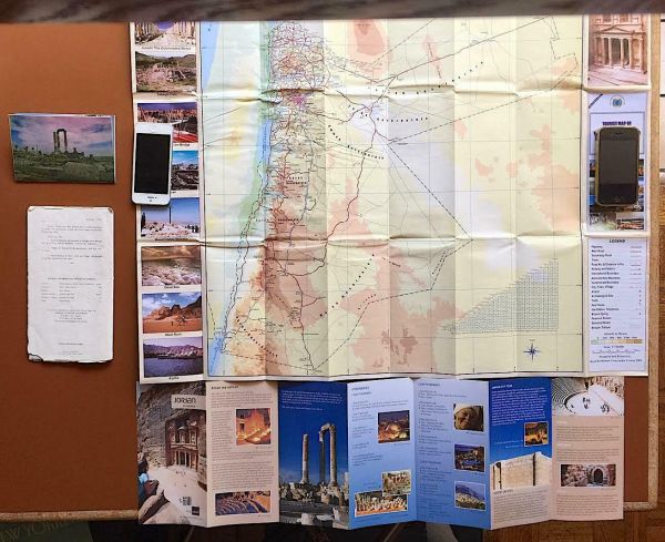
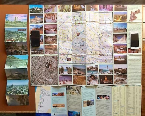
Maps, Guides, Postcards For Amman, Jordan
Item History & Price
| Reference Number: Avaluer:53739835 | Region of Origin: Middle East |
| Country/Region of Manufacture: Jordan | Handmade: No |
| Type: Maps, Guides, Postcard Book | Modified Item: No |
Includes a colorful official tourist map & guide for the Hashemite Kingdom of Jordan, the Middle Eastern country wedged between Israel, Iraq, Syria and Saudi Arabia (from the Royal Jordanian Geographic Centre, 2009); a 10-panel double-sided foldout brochure entitled “Jordan at a Glance”, covering the Middle Eastern kingdom’s major tourist attractions, including the capital and largest city Amman, Jerash, Petra, Mount Nebo, the Dead Sea, Wadi Rum and Aqaba (from the Jordan Tou...rism Board, circa 2010); a vintage souvenir postcard book for Amman, with 4 million people the largest city in the Levant and home to 40% of the nation’s population (from al-Aulama, circa 1970); and an old tourist map of Jordan (“The Holy Land”) from the Jordan Tourism Authority in 1965, two years before the Six Day War would cost Jordan the territory on the West Bank of the River Jordan, which, along with Gaza, forms today’s Palestinian Territory.