1780 BONNE Atlas Map CROATIA - PANNONIA - DACIA - ILLYRIA - MOESIA - Balkans
Item History & Price
| Reference Number: Avaluer:58937877 | Printing Technique: Copper Plate |
| Antique: Yes | Original/Reproduction: Antique Original |
| Date Range: 1700-1799 | Year: 1780 |
| Era: 1700s |
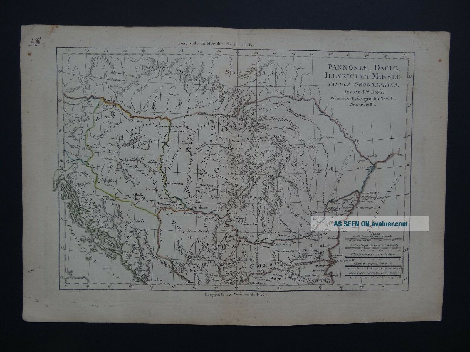
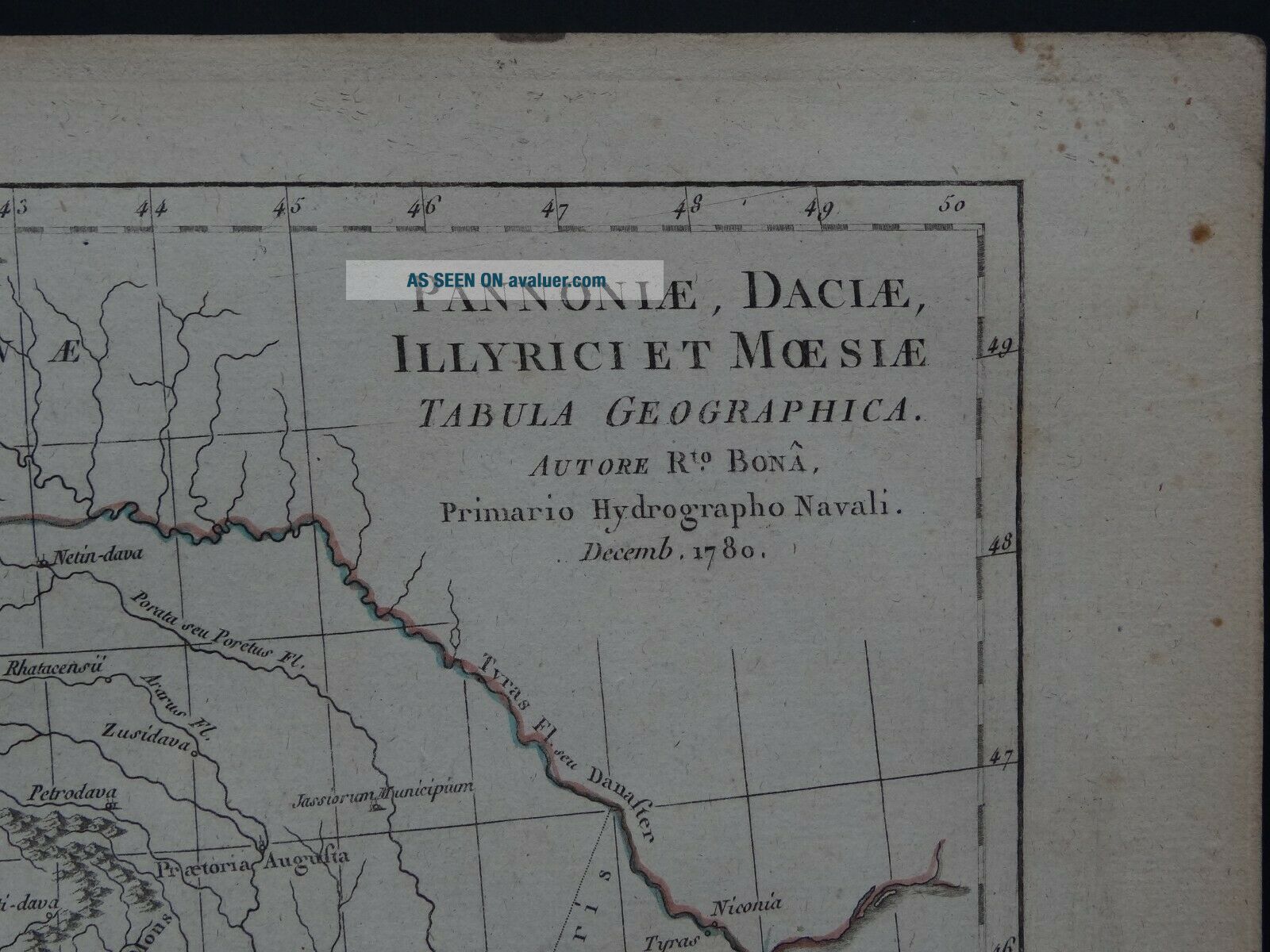
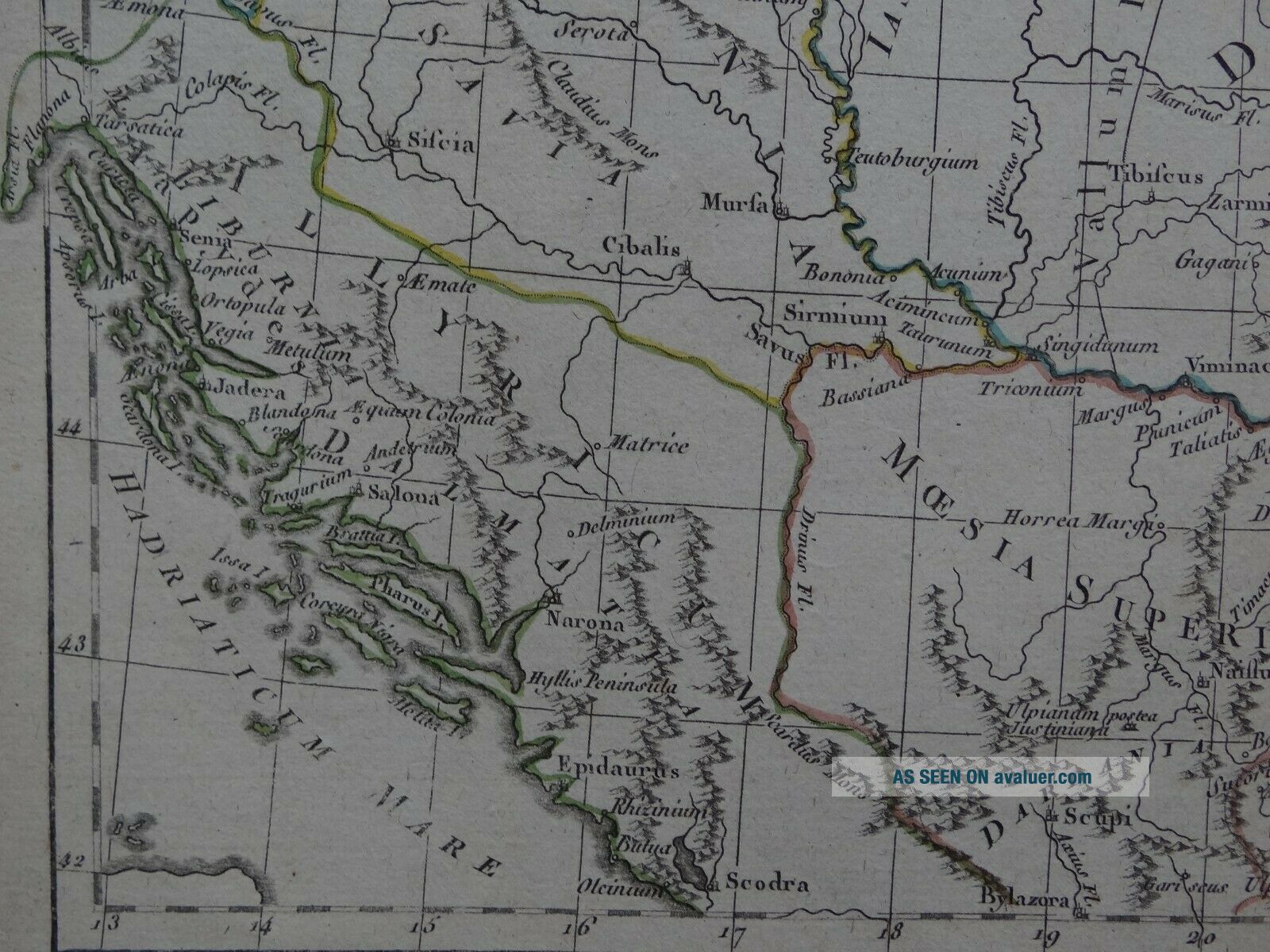
Map title:Pannonia, Dacia, Illyrici et MOesia Tabula GeographicaRto Bona1780
A rare copper engraved antique map of Pannonia, Dacia, Moesia, Illyriaby Rigobert Bonne1780
From the book:Atlas Portatif pour servir a l'Intelligence des auteurs classiquesPar M. L'Abbe Grenetc1790 See pictures
Page size 38 x 26.5 cmMap is in good condition for its age, engravings are clear, Page has age toning, marginal browning and handling marksText in latinFold line as issuedBlank on re...verseOriginal hand coloured outlines
UK postage £5.50Europe £10.99Worldwide £11.99