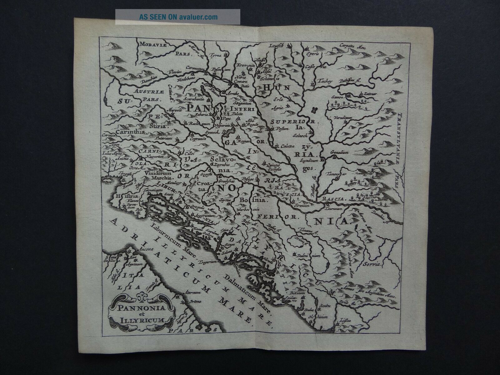
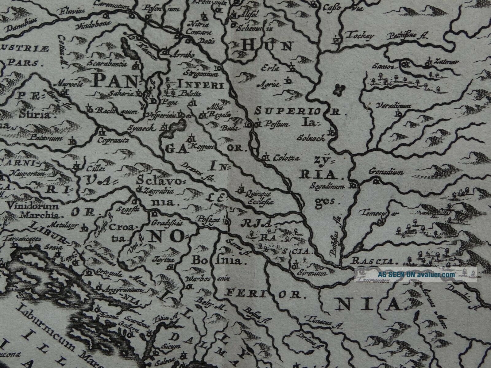
1661 CLUVER Atlas Map PANNONIA - ILLYRICUM - CROATIA - ILLYRIA

Item History & Price
| Reference Number: Avaluer:58938362 | Printing Technique: Copper Plate |
| Antique: Yes | Original/Reproduction: Antique Original |
| Date Range: 1600-1699 | Year: 1661 |
| Era: 1600s |
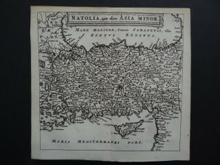
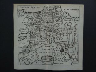
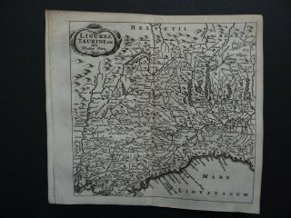
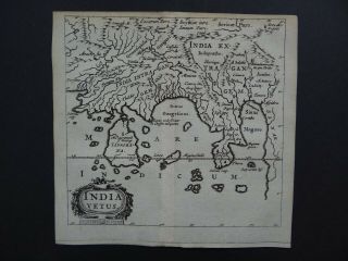
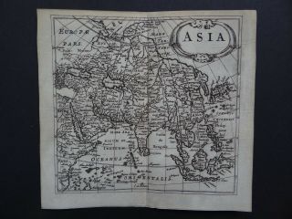
Map title:Pannonia et Illyricum
A rare copper engraved antique map of Croatia and the historical region of Pannonia and Illyriaby Philipp Cluver1661
From the book:Philippi Cluverii Introductionis in Universam GeographiamAccessit P. Bertii Brevium Orbis TerrarumAmstelodami1661
See pictures
Page size 14.1 x 13.2 cmMap is in good condition for its age, engravings are clearPage has some light marginal browning and handling marksFold line as issuedText in LatinBlank on reverseUn...colouredUK postage £3.50Europe £9.50Worldwide £9.99