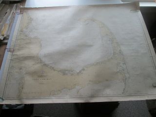
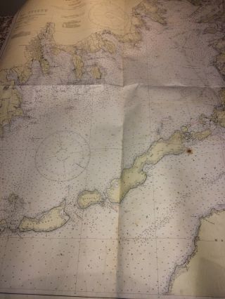
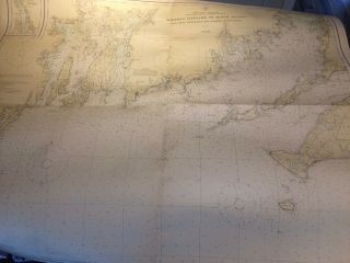
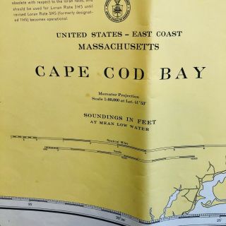
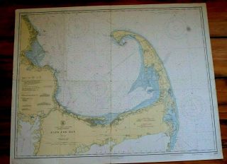
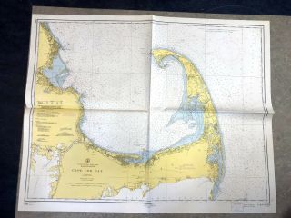
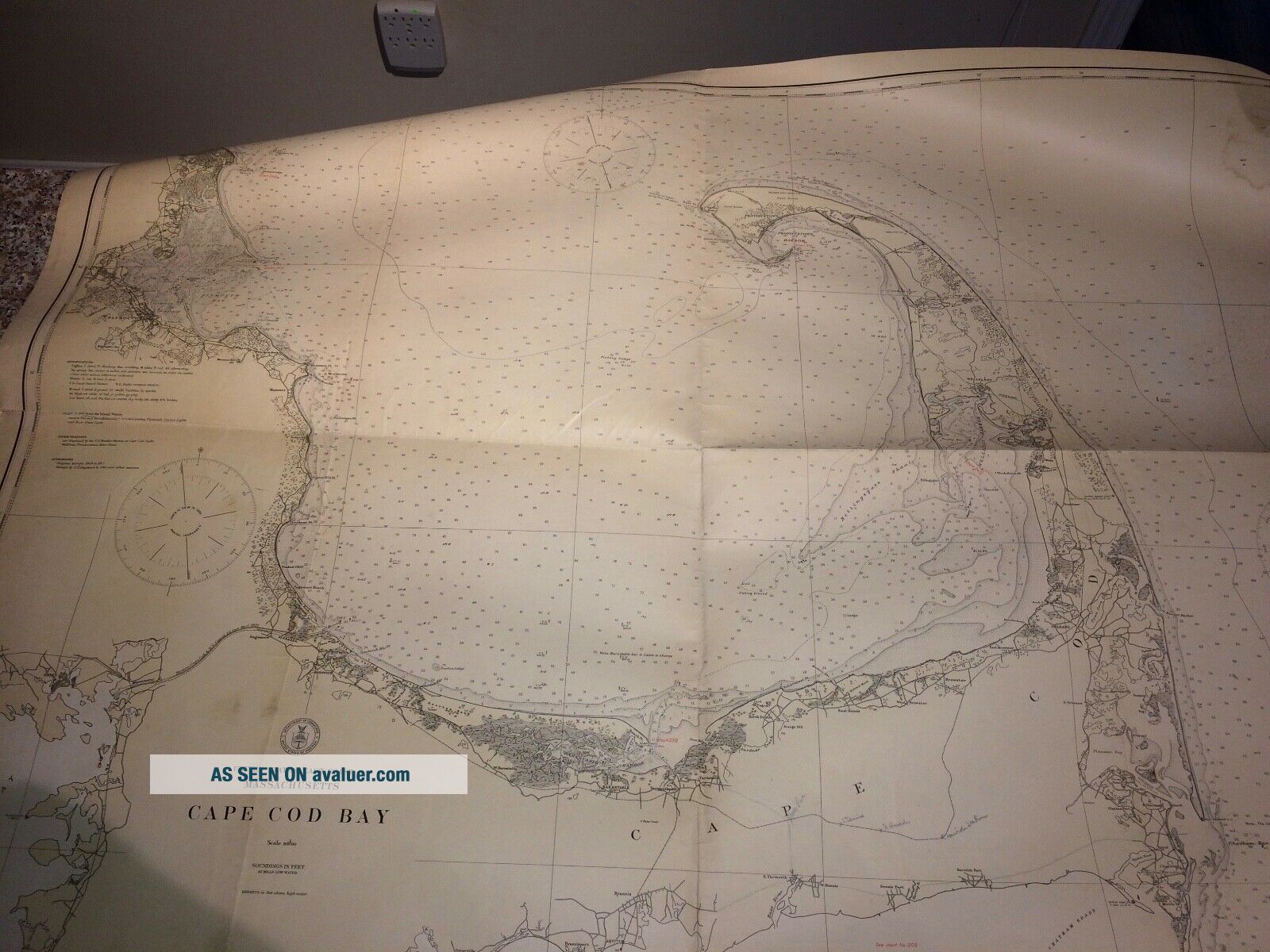
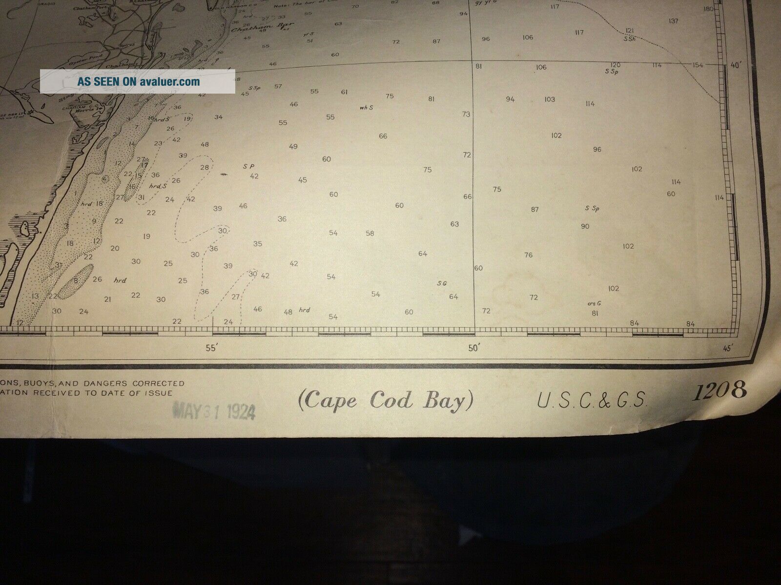
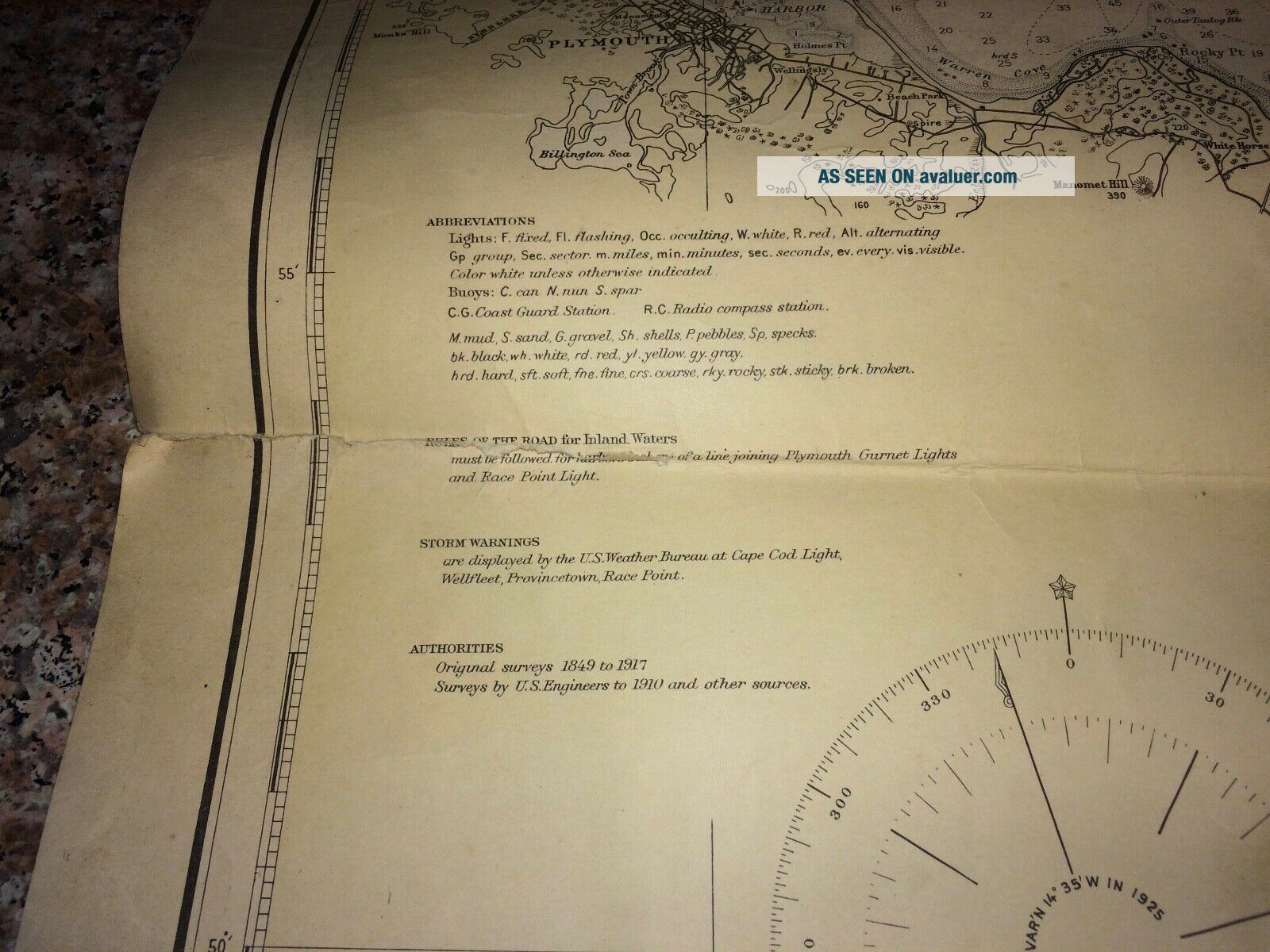
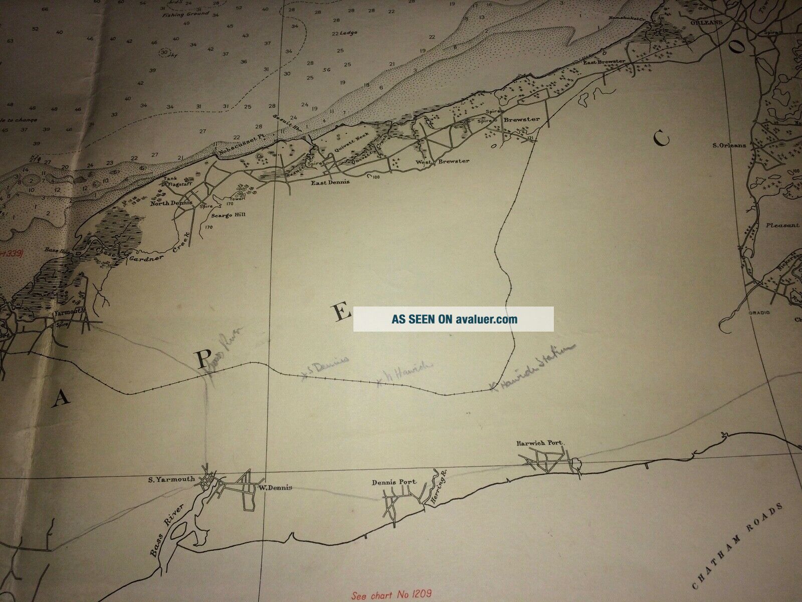
Antique C&GS Navigational Chart 1208 Cape Cod Bay, 1921.

Item History & Price
| Reference Number: Avaluer:628916 | Country/Region of Origin: United States |
| Original/Reproduction: Antique Original | Time Period, War: 1921 |
| Maker: C&GS |
Antique C&GS Navigational Chart 1208 Cape Cod Bay, 1921. Good condition. Size 23 1/2 x 43 " approx. There is tear along a crease on the right side it goes into the map, but is not that bad, a water stain on lower corner, and someone have written the names of the train stops in pencil. Some spots and stains. But is in good condition for age and use. Will flatten and frame nicely. From my collection while I lived on Chappaquiddick. See my other auctions for more Vinyard related... items. Will be sent usps rolled in a tube.