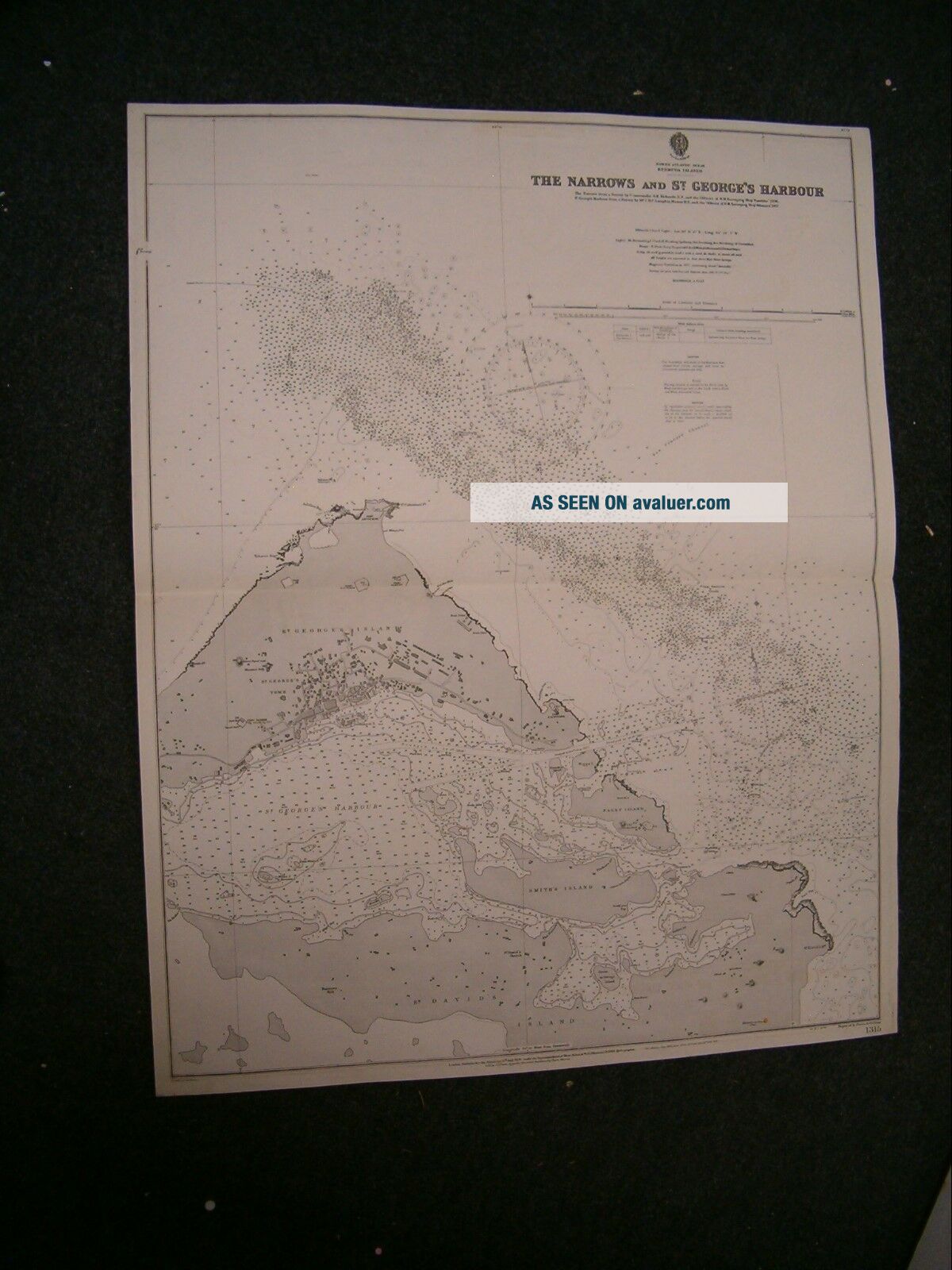
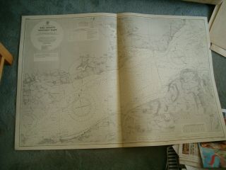
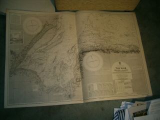
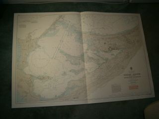
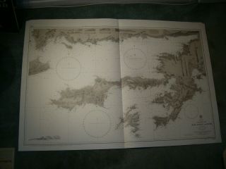
Vintage Admiralty Chart 1315 BERMUDA - THE NARROWS & ST. GEORGES HR 1918 Edition


Item History & Price

Information:
Reference Number: Avaluer:8816Antique/ Modern: Antique
Type: Nautical MapFormat: Sheet Map
Year: 1918Date Range: 1910-1919
Original/Reproduction: Antique Original
Original Description:
MARINE  CHART  SERVICESThe Worlds largest supplier of quality used genuine Admiralty charts Combined postage discounts - pay the full price & we will refund the overspend
Visit our eBay shopfor over 750Vintage Admiralty & French Charts
VINTAGE  BRITISH  ADMIRALTY CHART NO. 1315     BERMUDA ISLANDS THE NARROWS & SAINT GEORGE'S HARBOUR
Scale 1:not given   1918 edition with no printed corrections   unused marked &nbs...p;
100 YEARS OLDGENUINE ORIGINAL ANTIQUE CHART Size 33 inches x 26 inches   WOULD LOOK GOOD IN A FRAME Will be posted in a tube      PLEASE NOTE - We require payment within 2 days of 'buy-it-now' If you are unable to pay within these times, you MUST LET US KNOW otherwise we may take action against against you.   We aim to despatch most items within 2 working days of your payment (or final payment) clearing.   We will offer a reduced carriage charge for multiple items sent in one parcel but only where you wait for us to send a combined-item invoice (This includes items from Ebay and from our own website, sent in one consignment) POSTAGE for multiple purchases :- 100% carriage charge on first item, or on heaviest item then 25% of carriage charges for each extra item Further reductions for 11 items or more in some cases If you opt to pay the 'transit insurance' and this item becomes lost in the postal system, we will either refund or replace it if the original is not found. If you prefer not to pay this insurance, then the item is sent at your risk Delivery to MALTA by pre-arrangement only Seller is not responsible for transit time or transit delays. Once item has been posted we have no control over it   Please check back regularly for other marine items for sale  


    Similar items


  • Vintage Admiralty Chart 334 Bermuda Islands 1946 Edn

    Vintage Admiralty Chart 334 Bermuda Islands 1946 Edn

  • Vintage Admiralty Chart 60 Alderney & The Casquets 1914 Edn

    Vintage Admiralty Chart 60 Alderney & The Casquets 1914 Edn

  • Vintage Admiralty Chart 394 Uk - The Solent - Eastern Part 1979 Edn

    Vintage Admiralty Chart 394 Uk - The Solent - Eastern Part 1979 Edn

  • Vintage Admiralty Chart 2040 Uk - The Solent - Western Part 1935 Edn

    Vintage Admiralty Chart 2040 Uk - The Solent - Western Part 1935 Edn

  • Vintage Admiralty Chart 108 Uk - The Wash - Skegness To Blakeney 1935 Edn

    Vintage Admiralty Chart 108 Uk - The Wash - Skegness To Blakeney 1935 Edn

  • Vintage Admiralty Chart 332 Bermuda - Great Sound & Hamilton Harbour 1980 Edn

    Vintage Admiralty Chart 332 Bermuda - Great Sound & Hamilton Harbour 1980 Edn

  • Vintage Admiralty Chart 1604 Greece - The Gulfs Of Kos,  Doris & Symi 1844 Edn

    Vintage Admiralty Chart 1604 Greece - The Gulfs Of Kos, Doris & Symi 1844 Edn

  • Vintage Admiralty Chart 34 Uk - The Scilly Isles 1911 Edn

    Vintage Admiralty Chart 34 Uk - The Scilly Isles 1911 Edn


    • You might also like


    • Israel Holy Land Middle East Cyprus Mediterranean Sea 1730 Nicholls Antique Map

      Israel Holy Land Middle East Cyprus Mediterranean Sea 1730 Nicholls Antique Map

    • Vintage Map Of West Lake Hangzhou Hangchow China

      Vintage Map Of West Lake Hangzhou Hangchow China

    • Map 1885 Vietnam French Indochina China War Tonkin Hanoi Tuyen Quan Bac - Ninh

      Map 1885 Vietnam French Indochina China War Tonkin Hanoi Tuyen Quan Bac - Ninh

    • Vintage 1942 Battle Of Singapore Island Japanese Strategic Map Malayan Campaign

      Vintage 1942 Battle Of Singapore Island Japanese Strategic Map Malayan Campaign

    • 1936 Frank Dorn Map Of Beijing Or Peking,  China

      1936 Frank Dorn Map Of Beijing Or Peking, China

    • Persian Gulf Arabia Qatar Iran 1776 D

      Persian Gulf Arabia Qatar Iran 1776 D ' Anville Antique Copper Engraved Sea Chart

    • 1936 Chinese Pictorial Map Of Peking By Frank Dorn

      1936 Chinese Pictorial Map Of Peking By Frank Dorn

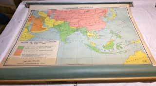
    • Vintage Nystrom Pull Down Map Western Colonialism In Asia In 1954 12128a

      Vintage Nystrom Pull Down Map Western Colonialism In Asia In 1954 12128a

Avaluer          About Us          Privacy Policy          Contact Us          UP
© 2022, avaluer.net, Inc. or its affiliates