-
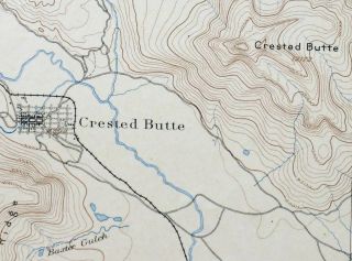
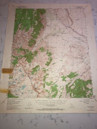
1893 Crested Butte Colorado Gunnison Nf Antique Usgs Reconnaissance Topo Map
-
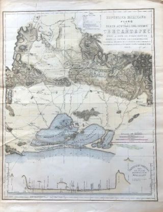
1843 Mexico Isthmus Tehuantepec / Coatzacoalcos Map 18 X 24”
-
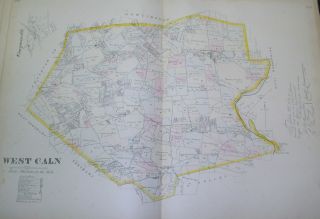
West Caln Chester County 1883 Map Compassville Cains Coatesville Pennsylvania
-
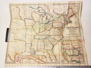
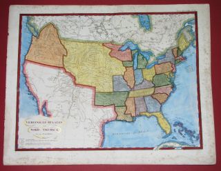
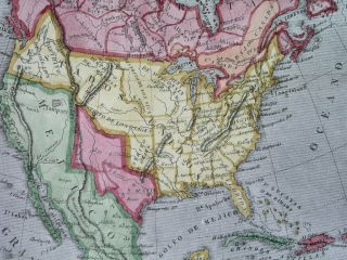
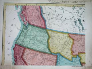
1854 Map Of United States & Canada Pocket Map 25 X 30 Pre Civil War Pre Railroad
-
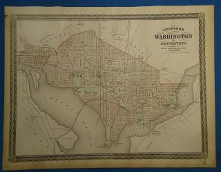
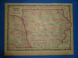
Vintage 1885 Washington Dc Map Old Antique Johnson ' S Atlas Map
-
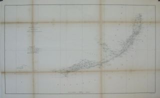
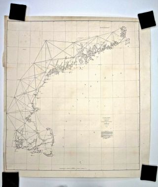
![Atlantic Gulf Of Mexico And Pacific Coasts 1863 Us Coast Survey Map Chart]()
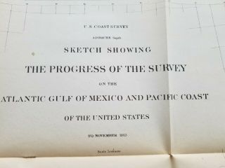
Atlantic Gulf Of Mexico And Pacific Coasts 1863 Us Coast Survey Map Chart
-
![1928 Auto Route Distance Atlas Of Ne Ny Nj East Pa Md De Car Ad Map]()
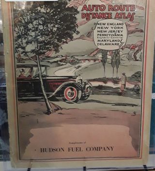
1928 Auto Route Distance Atlas Of Ne Ny Nj East Pa Md De Car Ad Map
-
![Gorgeous Rare Antique 1818 North South America Le Sage Map United States Texas]()
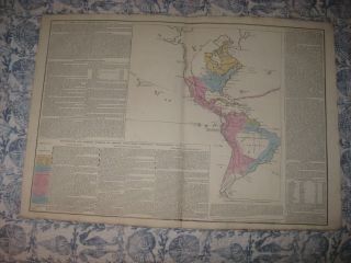
Gorgeous Rare Antique 1818 North South America Le Sage Map United States Texas
-
![Vintage French School Wall Map Poster, Americas North America South America 1965]()
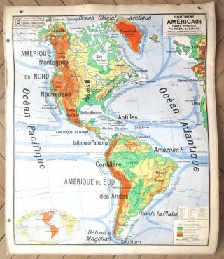
Vintage French School Wall Map Poster, Americas North America South America 1965
-
![Map A Pictorial Map Of The United States Elmer Jacobs]()
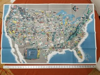
Map A Pictorial Map Of The United States Elmer Jacobs
-
![Map Of Mt. Tom, California]()
Map Of Mt. Tom, California
-
![1843 James Hall Map Geological Map Of Middle And Western States Nys Natl History]()
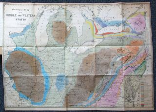
1843 James Hall Map Geological Map Of Middle And Western States Nys Natl History
-
![Yardley Framed Map Of The Eastern Shore Of Maryland : Baltimore Annapolis Ect]()
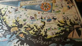
Yardley Framed Map Of The Eastern Shore Of Maryland : Baltimore Annapolis Ect
-
![Vintage Map 1931 South Side Sportsmen S Club Oakdale Suffolk Co Ny, Vanderbilt]()
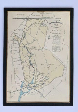
Vintage Map 1931 South Side Sportsmen S Club Oakdale Suffolk Co Ny, Vanderbilt
-
![Antique Map Of Mexico Or Spanish North America By Thomson, 1814]()
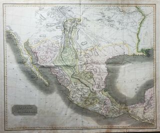
Antique Map Of Mexico Or Spanish North America By Thomson, 1814
-
![1919 Kenyon]()
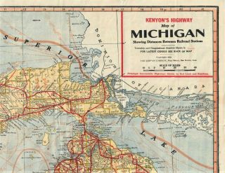
1919 Kenyon ' S Highway Census Pocket Map Of Michigan Auto Trails & East Wisconsin
-
![1895 Antique Central School House Supply North America Relief Map]()
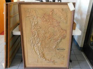
1895 Antique Central School House Supply North America Relief Map
-
![1825 Unusual Map Texas California In Mexico United States Canada]()
1825 Unusual Map Texas California In Mexico United States Canada
-
![1863 Johnson]()
1863 Johnson ' S Family Illustrated Atlas Colored Maps Steel Plate 1st Wv Map
-
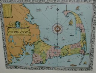
![Rare 1933 Graphic Map Provincetown Cape Cod Ma Barbara Malicoat 28x20]()
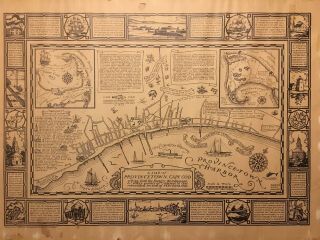
Rare 1933 Graphic Map Provincetown Cape Cod Ma Barbara Malicoat 28x20
-
![Vintage Hagstrom Atlas Map Of Hunterdon County Nj 1996 Paperback]()
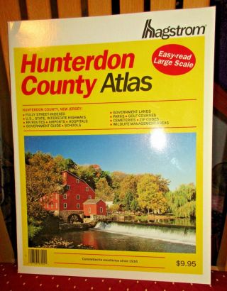
Vintage Hagstrom Atlas Map Of Hunterdon County Nj 1996 Paperback
-
![Vintage Hagstrom Atlas Map Of Somerset Hunterdon Mercer Counties Nj 2004]()
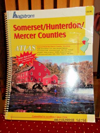
Vintage Hagstrom Atlas Map Of Somerset Hunterdon Mercer Counties Nj 2004
-
![1940]()
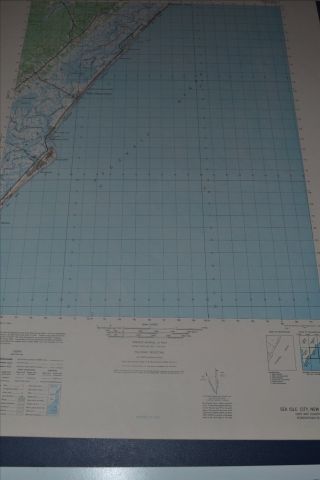
1940 ' S Army (like Usgs) Topo Map Sea Isle City Nj - 6062 Ii Ocean City Avalon
-
![1938 Topographic Map Of Island Of Oahu, City & County Of Honolulu, Wwii. Look]()
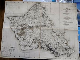
1938 Topographic Map Of Island Of Oahu, City & County Of Honolulu, Wwii. Look
-
![Vintage 1857 Ohio Map Old Hand Colored Colton]()
Vintage 1857 Ohio Map Old Hand Colored Colton ' S Atlas
-
![1891 Map City Of Bedford Mass Old Nr Vintage Ma Massachusetts]()
1891 Map City Of Bedford Mass Old Nr Vintage Ma Massachusetts
-
![1932 Rare Antique Animated Florida State Map Berta Hader Picture Map Ebh 6739]()
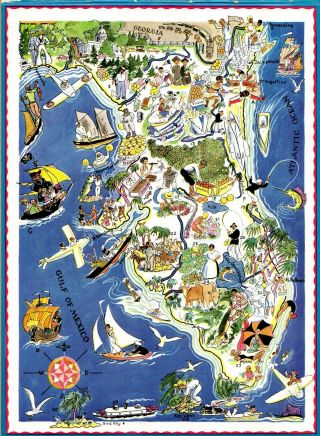
1932 Rare Antique Animated Florida State Map Berta Hader Picture Map Ebh 6739
-
![Atlas Of Delaware County, Pa, Volume 1, 1929, Frank H. M. Klinge]()
Atlas Of Delaware County, Pa, Volume 1, 1929, Frank H. M. Klinge
-
![Rare Antique G. W. Bromley Atlas 1906 City Of Boston Mass 39 Plates Color Maps]()
Rare Antique G. W. Bromley Atlas 1906 City Of Boston Mass 39 Plates Color Maps
-
![1826 Finley Pocket Map Of York]()
1826 Finley Pocket Map Of York
-
![1870 Charlestown, Ri. Map That Has Been Removed From The Beer]()
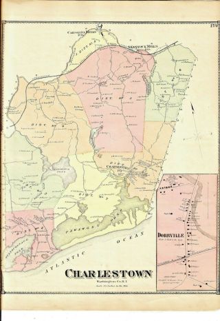
1870 Charlestown, Ri. Map That Has Been Removed From The Beer ' S 1870 Atlas
-
![Antique Map, Carte De La Caroline Et Georgie]()
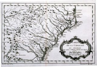
Antique Map, Carte De La Caroline Et Georgie
-
![1932 Cape Cod Map By Walter M Gaffney - - Vintage]()
1932 Cape Cod Map By Walter M Gaffney - - Vintage
-
![Minnesota Mower County Atlas And Farmers]()
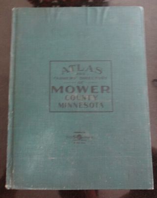
Minnesota Mower County Atlas And Farmers ' Directory 1915
-
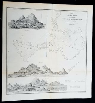
![(1) 1856 U. S. Coast Survey Chart: " Port Gamble, Washington Territory "]()
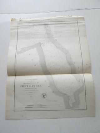
(1) 1856 U. S. Coast Survey Chart: " Port Gamble, Washington Territory "
-
![Vintage 1862 Johnson]()
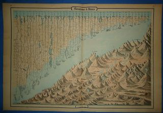
Vintage 1862 Johnson ' S Illustration World ' S Tallest Mountains & Longest Rivers
-
![J. Calvin Smith Colored Pocket Map York Manhattan Brooklyn 1851 Disturnell]()
J. Calvin Smith Colored Pocket Map York Manhattan Brooklyn 1851 Disturnell
-
![(1) 1856 U. S. Coast Survey Chart: " San Pablo Bay, California "]()
(1) 1856 U. S. Coast Survey Chart: " San Pablo Bay, California "
-
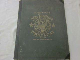
![Johnson]()
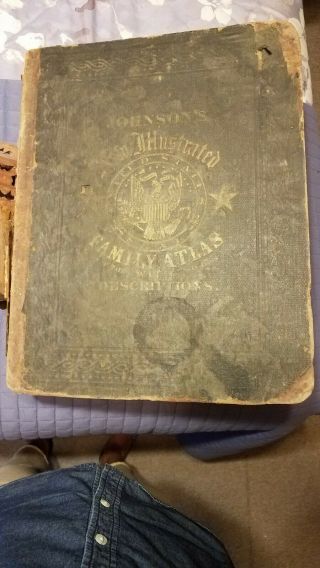
Johnson ' S Illustrated Family Atlas Of The World With Descriptions 1864
-
![1868 Johnson]()
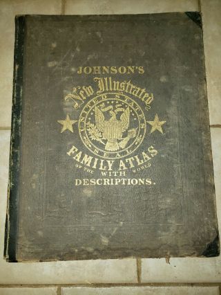
1868 Johnson ' S Illustrated Family Atlas Of The World With Descriptions
-
![Vintage Iowa Physical And Political A. J. Nystrom And Co. Linen Ps - 114 Maps - 2]()
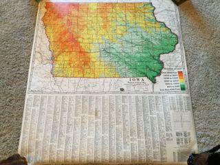
Vintage Iowa Physical And Political A. J. Nystrom And Co. Linen Ps - 114 Maps - 2
-
![1935 Ruth Taylor White Gay Geography Cartoon Pictorial Map Alabama]()
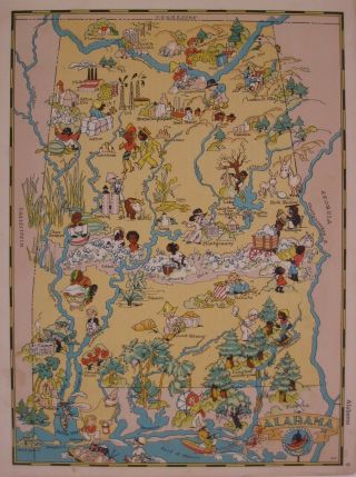
1935 Ruth Taylor White Gay Geography Cartoon Pictorial Map Alabama
-
![U S Coast Survey 1859 - 34 Maps]()
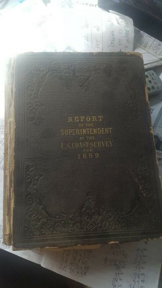
U S Coast Survey 1859 - 34 Maps
-
![1758 - Colonial America - The English Empire In North America. Bennett]()
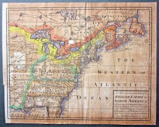
1758 - Colonial America - The English Empire In North America. Bennett
-
![1855 Antique Map Of Minnesota J. H. Colton Hand - Colored & Native American Country]()
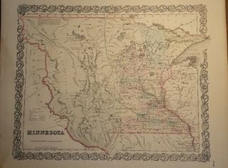
1855 Antique Map Of Minnesota J. H. Colton Hand - Colored & Native American Country
-
![1853 U S Pacific Rr Exp & Survey Geological Sec Mississippi R To Pacific Ocean]()
1853 U S Pacific Rr Exp & Survey Geological Sec Mississippi R To Pacific Ocean
-
![Vintage 1930s Le Mont St Michel Normandy France Castle Derucaux Map Poster Print]()
Vintage 1930s Le Mont St Michel Normandy France Castle Derucaux Map Poster Print
-
![Old School Map Of The United States And Possessions]()
Old School Map Of The United States And Possessions
-
![1890 Hand Drawn, Hand Colored Map, Belfast Maine, Showing Water Company Land Vs_]()
1890 Hand Drawn, Hand Colored Map, Belfast Maine, Showing Water Company Land Vs_
-
![1873 Beers Map Brooklyn Kings County Bay Ridge - Ovington Village]()
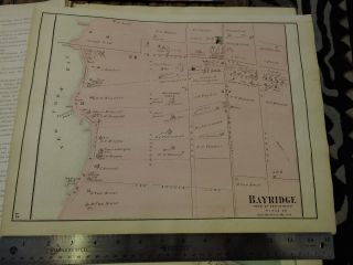
1873 Beers Map Brooklyn Kings County Bay Ridge - Ovington Village
-
![Atlas Of Baltimore County, Maryland, G. W. Bromley & Co 1915 Folio Size 43, Plate]()
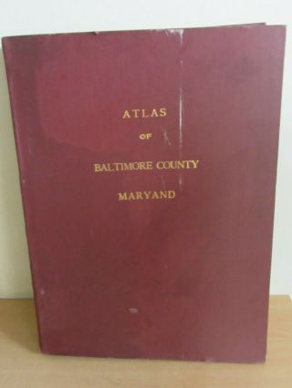
Atlas Of Baltimore County, Maryland, G. W. Bromley & Co 1915 Folio Size 43, Plate
-
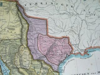
![1797 Rare Map Texas United States California Florida Georgia York]()
1797 Rare Map Texas United States California Florida Georgia York
-
![Texas Republic Rare Spanish Antique Map United States California In Mexico]()
Texas Republic Rare Spanish Antique Map United States California In Mexico
-
![Map - 1866 United States Of America Pbl. J. H. Colton]()
Map - 1866 United States Of America Pbl. J. H. Colton
-
![Vintage 1943 Physical Map Of Michigan Pulldown Classroom Map Denoyer - Geppert]()
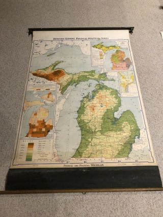
Vintage 1943 Physical Map Of Michigan Pulldown Classroom Map Denoyer - Geppert
-
![1914 Atlas Of Plymouth County, Iowa]()
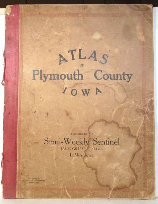
1914 Atlas Of Plymouth County, Iowa
-
![The Northern Hemisphere Ice Atlas Nautical Maps 1955 Large Book]()
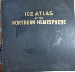
The Northern Hemisphere Ice Atlas Nautical Maps 1955 Large Book
-
![1932 Rare Antique Animated Texas State Map Berta Hader Picture Map Ebh 6730]()
1932 Rare Antique Animated Texas State Map Berta Hader Picture Map Ebh 6730
-
![American Continent (westen Hemisphere) 1774 Covens & Mortier Unusual Antique Map]()
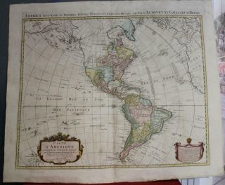
American Continent (westen Hemisphere) 1774 Covens & Mortier Unusual Antique Map
-
![1868 Giant Map Texas California Florida York United States Canada]()
1868 Giant Map Texas California Florida York United States Canada
-
![1873 Beers Map Of Bay Ridge Brooklyn, York City Utrecht L. I.]()
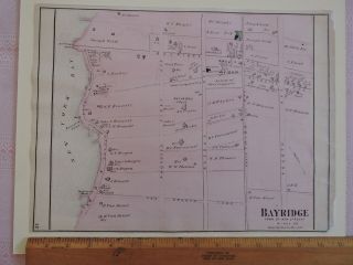
1873 Beers Map Of Bay Ridge Brooklyn, York City Utrecht L. I.
-
![1881 Bradley Map - California Nevada - San Francisco Los Angeles Diego Las Vegas]()
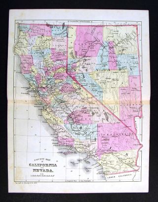
1881 Bradley Map - California Nevada - San Francisco Los Angeles Diego Las Vegas
-
![1874 Map Plan Of Hackettstown, Nj F. W. Beers Warren County 2 Page]()
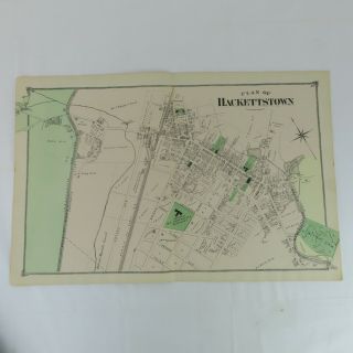
1874 Map Plan Of Hackettstown, Nj F. W. Beers Warren County 2 Page
-
![1867 Antique Map Of Wolcott, Connecticut, From Beers Atlas Framed]()
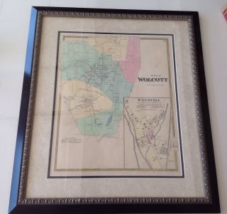
1867 Antique Map Of Wolcott, Connecticut, From Beers Atlas Framed
-
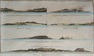
![Antique Map " Map Of Hawaiian Group Or Sandwich Islands By The U. S. Ex. Ex. 1841 "]()
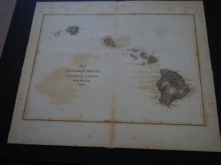
Antique Map " Map Of Hawaiian Group Or Sandwich Islands By The U. S. Ex. Ex. 1841 "
-
![1920’s Antique Florida State Mileage Map Vintage Davis Islands City Populations]()
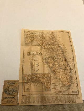
1920’s Antique Florida State Mileage Map Vintage Davis Islands City Populations
-
![1810 Lapie - Rare Map: United States, North America, York, Texas, Washington]()
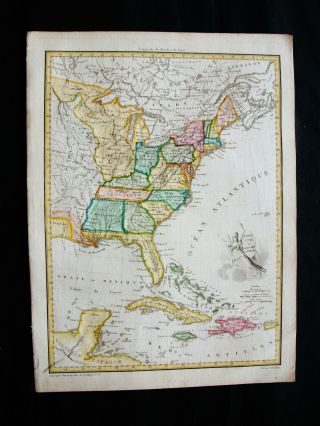
1810 Lapie - Rare Map: United States, North America, York, Texas, Washington
-
![1860 Johnson Map Of California, Nevada, Utah, Mexico And Arizona]()
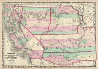
1860 Johnson Map Of California, Nevada, Utah, Mexico And Arizona
-
![1850 Rare Map United States California Oregon Washington Montana]()
1850 Rare Map United States California Oregon Washington Montana
-
![Vintage 1862 Nebraska Territory - Iowa Map Old Antique Johnson]()
Vintage 1862 Nebraska Territory - Iowa Map Old Antique Johnson ' S Atlas
-
![1861 Coast Survey Map Florida Reefs Key West Miami River Dry Tortugas]()
1861 Coast Survey Map Florida Reefs Key West Miami River Dry Tortugas
-
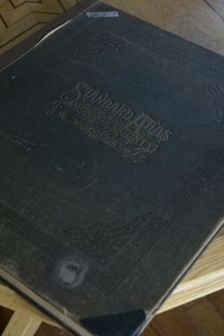
![Antique Map 1915 Standard Atlas Historical Wisconsin Plat Book Monroe County Wi]()
Antique Map 1915 Standard Atlas Historical Wisconsin Plat Book Monroe County Wi
-
![1891 Geo Walker Atlas Of Massachusetts Including Cape Cod & Islands Complete]()
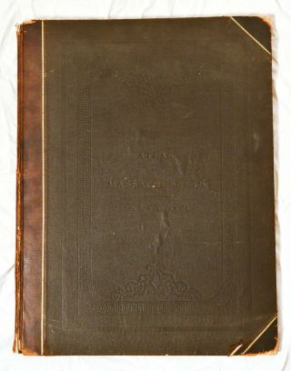
1891 Geo Walker Atlas Of Massachusetts Including Cape Cod & Islands Complete
-
![1930s? Vintage A Historical Map Of Madison Wisconsin Laura Kremers Colt Studios]()
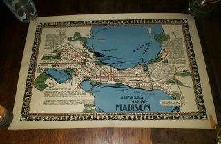
1930s? Vintage A Historical Map Of Madison Wisconsin Laura Kremers Colt Studios
-
![Greensburg In Decatur County Plat Book Land Owners 40s - 50s? Advertising]()
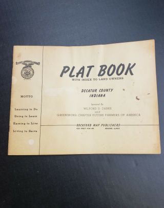
Greensburg In Decatur County Plat Book Land Owners 40s - 50s? Advertising
-
![Oneida County York 1907 Century Atlas Utica Hartford]()
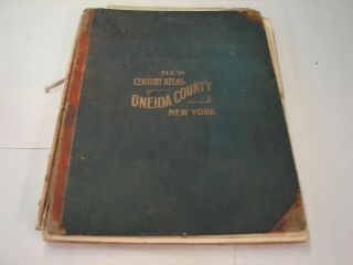
Oneida County York 1907 Century Atlas Utica Hartford
-
![1898 Palo Pinto County Texas Map Land Office Austin Blue Line Antique Vintage]()
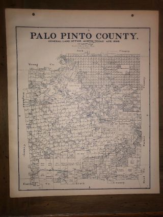
1898 Palo Pinto County Texas Map Land Office Austin Blue Line Antique Vintage
-
![White Plains York Antique Map Beers 1867]()
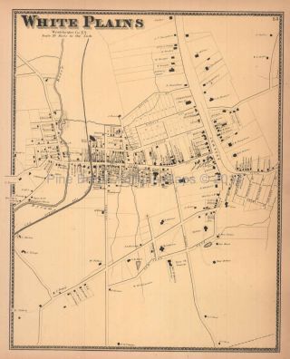
White Plains York Antique Map Beers 1867
-
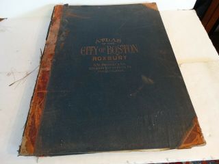
![Rare Antique G. W. Bromley Atlas 1883 City Of Boston Mass 20 Plates Color Maps]()
Rare Antique G. W. Bromley Atlas 1883 City Of Boston Mass 20 Plates Color Maps
-
![Hand Drawn Survey Map Of Edgefield Sc District Herrin Family 1856]()
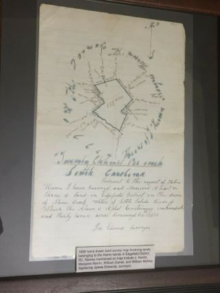
Hand Drawn Survey Map Of Edgefield Sc District Herrin Family 1856
-
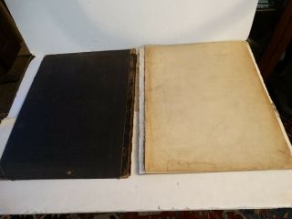
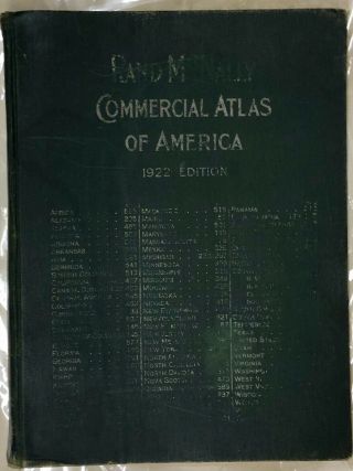
![Rare 1922 Large Rand Mcnally Commercial Atlas Of America]()
Rare 1922 Large Rand Mcnally Commercial Atlas Of America
-
![Hand Colored Map Of The World By Johnson And Ward 1863]()
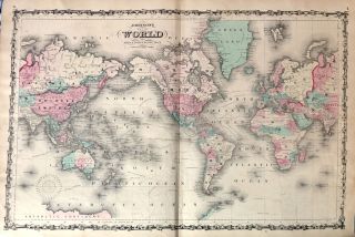
Hand Colored Map Of The World By Johnson And Ward 1863
-
![1812 Map Texas California United States Canada America World]()
1812 Map Texas California United States Canada America World
-
![1870 Warren, Ri. Map That Has Been Removed From The Beer]()
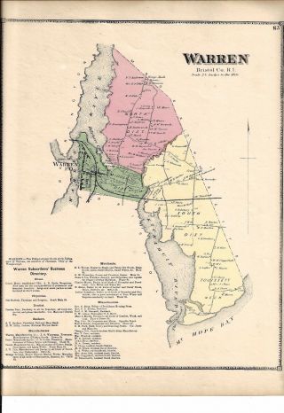
1870 Warren, Ri. Map That Has Been Removed From The Beer ' S 1870 Atlas
-
![Chesapeacke Bay Virginia Maryland Delaware United States 1757 Bellin Antique Map]()
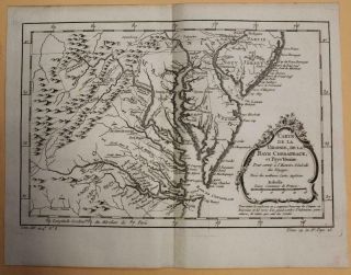
Chesapeacke Bay Virginia Maryland Delaware United States 1757 Bellin Antique Map
-
![Vintage 1940 Color - Printed Map, 35 X 54. 5 America Council Of Intolerance Rare]()
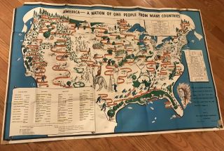
Vintage 1940 Color - Printed Map, 35 X 54. 5 America Council Of Intolerance Rare
-
![Rare Antique Map Wayne County Michigan 1876 Detroit Dearborn Old Plat]()
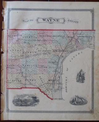
Rare Antique Map Wayne County Michigan 1876 Detroit Dearborn Old Plat
-
![Beers 1867 Atlas York & Vicinity Fairfield County Ct Maps Complete Drawings]()
Beers 1867 Atlas York & Vicinity Fairfield County Ct Maps Complete Drawings
-
![1901 Palm Springs California San Jacinto Hemet Rare Antique Usgs Topo Map]()
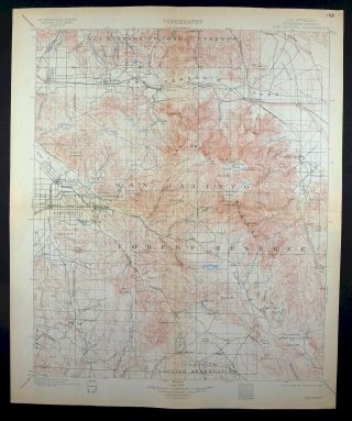
1901 Palm Springs California San Jacinto Hemet Rare Antique Usgs Topo Map
-
![Vintage Metsker]()
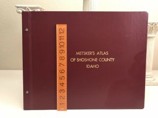
Vintage Metsker ' S Atlas Of Shoshone County Idaho Metsker Maps Fantastic
-
![Miniature Atlas - Borough Of Manhattan - Ebelcher Hyde 1912 Philip M. Stern]()
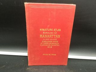
Miniature Atlas - Borough Of Manhattan - Ebelcher Hyde 1912 Philip M. Stern
-
![Vintage Roll Up Linen School Map 1960]()
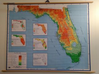
Vintage Roll Up Linen School Map 1960 ' S Florida Great Colors
-
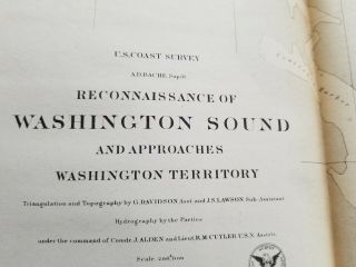
![Washington Sound And Approaches Washington Territory 1863 Us Coast Survey Map]()
Washington Sound And Approaches Washington Territory 1863 Us Coast Survey Map
-
![Vintage Old Cape Cod Map Coulton Waugh 1930 Signed Hand Colored Outer]()
Vintage Old Cape Cod Map Coulton Waugh 1930 Signed Hand Colored Outer
-
![Antique 1838 Texas Our Usa A Gay Geography Cartoon Pictorial Map Dallas Nr]()
Antique 1838 Texas Our Usa A Gay Geography Cartoon Pictorial Map Dallas Nr
-
![" L]()
" L ' Isle De Terre - Neuve, L ' Acadie " Canada Maritimes. St Lawrence. Bonne 1780 Map
-
![Christiana Delaware Antique Map Beers 1868]()
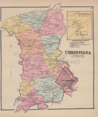
Christiana Delaware Antique Map Beers 1868
-
![Vintage Long Island York Pictorial Map Courtland Smith 1933 1961 Lithograph]()
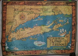
Vintage Long Island York Pictorial Map Courtland Smith 1933 1961 Lithograph
-
![Vintage 1863 Colorado Nebraska Territories Map Old Antique Atlas Map]()
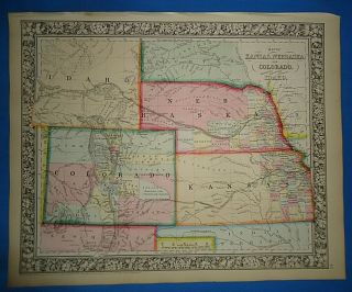
Vintage 1863 Colorado Nebraska Territories Map Old Antique Atlas Map
-
![Vintage 1874 Sandusky County. Ohio Atlas Maps, Prints, Engravings, History]()
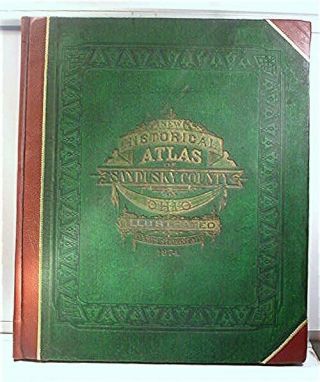
Vintage 1874 Sandusky County. Ohio Atlas Maps, Prints, Engravings, History
-
![Map Of Colorado And Indian Territories Augustus Mitchell C 1881.]()
Map Of Colorado And Indian Territories Augustus Mitchell C 1881.
-
![U. S Coast Survey 1856 Nantucket To Maine]()
U. S Coast Survey 1856 Nantucket To Maine
-
![1846 Map Texas Republic United States Houston Dallas California Mexico]()
1846 Map Texas Republic United States Houston Dallas California Mexico
-
![Vtg 1873 Warner Higgins Beers Illinois State Atlas Map Book Large 1800s Us]()
Vtg 1873 Warner Higgins Beers Illinois State Atlas Map Book Large 1800s Us
-
![Mexico City Mexico 1715 Nicolas De Fer Scarce Antique Copper Engraved City Map]()
Mexico City Mexico 1715 Nicolas De Fer Scarce Antique Copper Engraved City Map
-
![Atlas 1894 Crawford County Ohio Oh History Genealogy Plat Bucyrus, First]()
Atlas 1894 Crawford County Ohio Oh History Genealogy Plat Bucyrus, First
-
![Hawaii, Maui, Oahu, Kauai, Niihau Anderson/hogg, 1784, Views Of Sandwich Islands]()
Hawaii, Maui, Oahu, Kauai, Niihau Anderson/hogg, 1784, Views Of Sandwich Islands
-
![1884 Second Geological Survey Of Pennsylvania Grand Atlas Div 2 Anthracite Coal]()
1884 Second Geological Survey Of Pennsylvania Grand Atlas Div 2 Anthracite Coal
-
![Antique Watson’s Commercial Atlas Of The United States And Canada]()
Antique Watson’s Commercial Atlas Of The United States And Canada
-
![Rare Isaac Weld 1799 Travels States North America Canada Niagara Plates Maps]()
Rare Isaac Weld 1799 Travels States North America Canada Niagara Plates Maps
-
![1876 Indiana Map Howard County Kokomo Russianville Marion Jonesboro Fairmount In]()
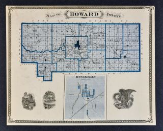
1876 Indiana Map Howard County Kokomo Russianville Marion Jonesboro Fairmount In
-
![Vintage Circa 1876 Montana Territory Map Early Old Antique Atlas Map]()
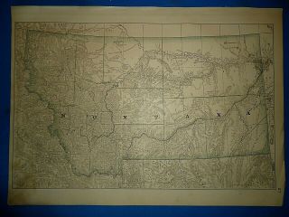
Vintage Circa 1876 Montana Territory Map Early Old Antique Atlas Map
-
![Vintage Circa 1876 Alabama - Minnesota Map Early Old Antique Atlas Map]()
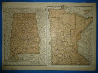
Vintage Circa 1876 Alabama - Minnesota Map Early Old Antique Atlas Map
-
![1876 Indiana Map - Jackson County Seymour Rockford Brownstown Houston Medora In]()
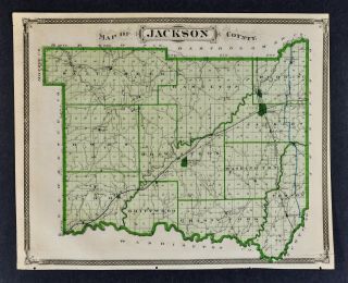
1876 Indiana Map - Jackson County Seymour Rockford Brownstown Houston Medora In
-
![1874 Mitchell]()

1874 Mitchell ' S General Atlas, Double Page York R7 04
-
![1855 Us Coast Survey Map Delaware & Chesapeake Bays Inlets Lighthouses]()
1855 Us Coast Survey Map Delaware & Chesapeake Bays Inlets Lighthouses
-
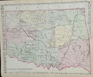
![2501 Antique Vintage Map Indian Territory 1892 Family Atlas Alaska]()
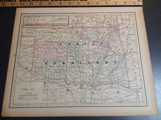
2501 Antique Vintage Map Indian Territory 1892 Family Atlas Alaska
-
![(1) 1862 U. S. Coast Survey Chart: " Upper Part, San Francisco Bay, California "]()
(1) 1862 U. S. Coast Survey Chart: " Upper Part, San Francisco Bay, California "
-
![Hand Colored Map Johnson]()
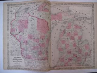
Hand Colored Map Johnson ' S Atlas Michigan Wisconsin Great Lakes Detroit 1863
-
![1855 Us Coast Survey & Bache Antique Map Farallon Isles San Francisco California]()
1855 Us Coast Survey & Bache Antique Map Farallon Isles San Francisco California
© 2022, avaluer.net, Inc. or its affiliates