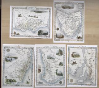
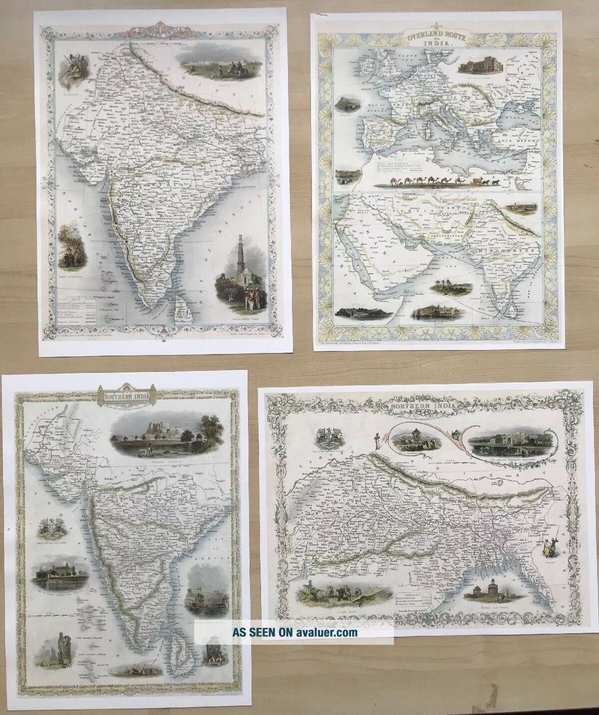
4 X Old Antique Vintage Colour Maps 1800s: INDIA: South, North: Tallis Reprint
Item History & Price
| Reference Number: Avaluer:1230960 | Format: Wall Map |
| Type: County Map | Era: 1800s |
| Original/Reproduction: Antique Reproduction | Cartographer/Publisher: John Tallis |
| Date Range: 1800-1899 |
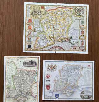
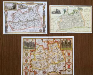
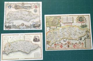
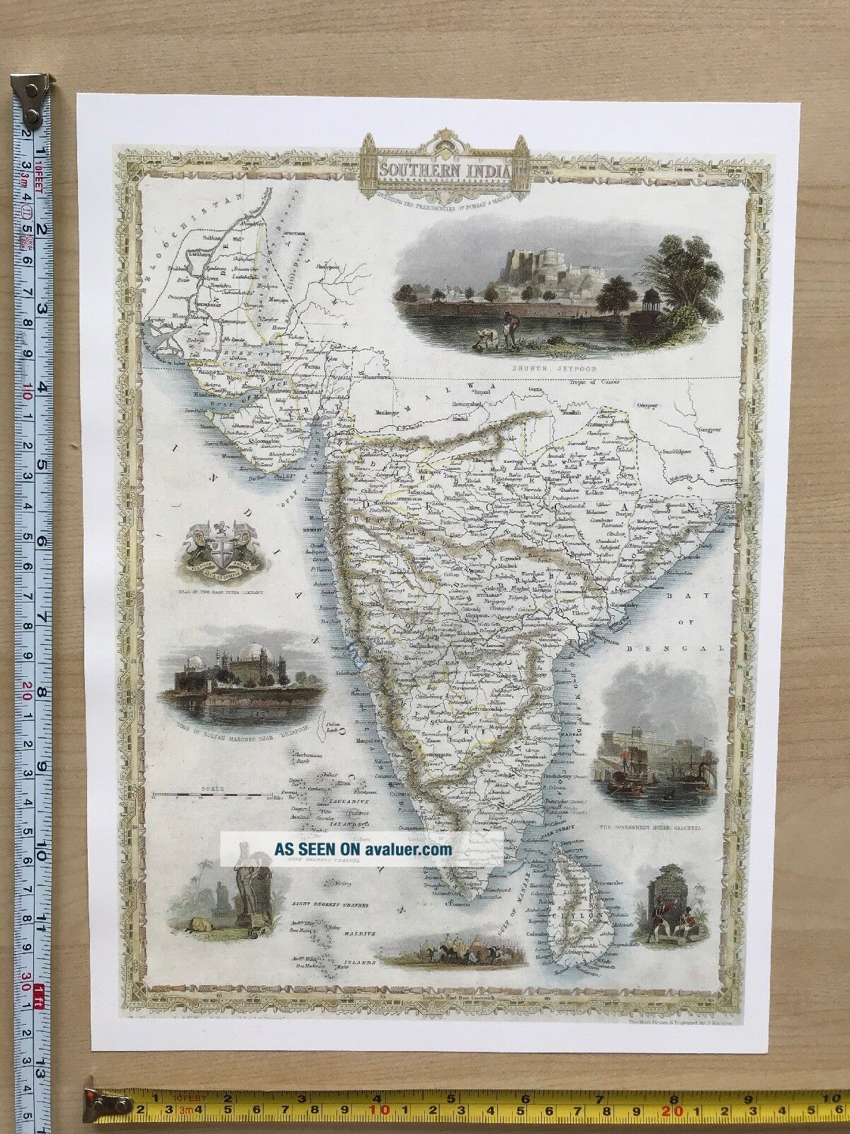
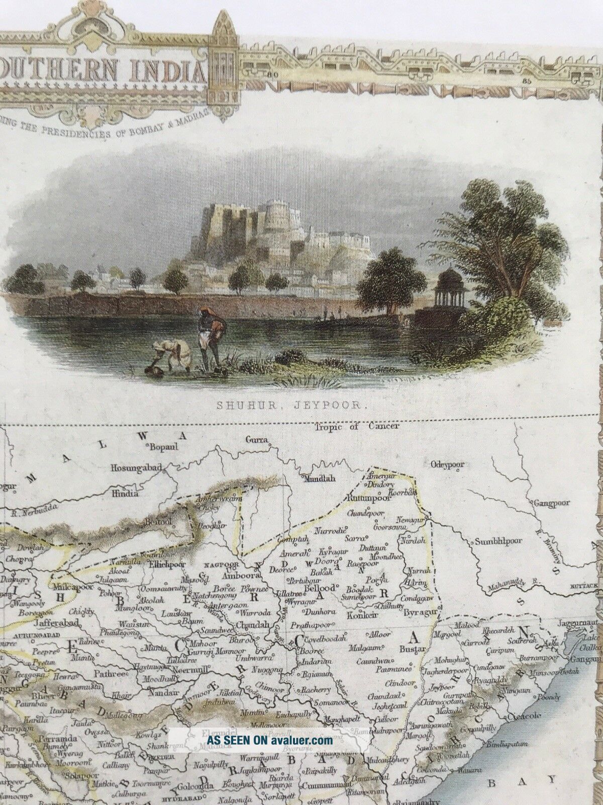
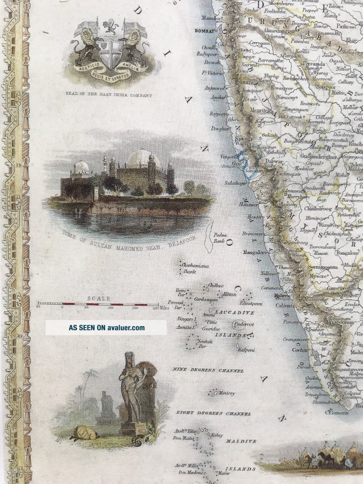
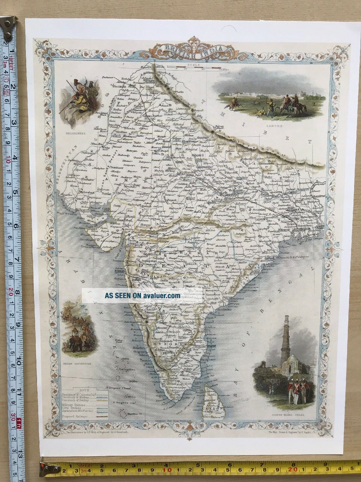
4 x Maps of India, originally published in about 1851
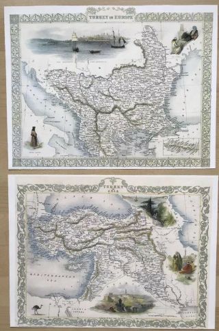
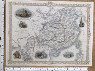
These maps are book plates taken very carefully from the book 'Antique Maps of the 19th Century World' which was published in 1989. They were produced by John Tallis and are one of a series of maps that Tallis produced in company with John Rapkin, for the Illustrated Atlas in 1851. These maps are very detailed and include small vignette illustrations within the map of prominent buildings or landmarks. <...br>They are in excellent condition and have been produced on thick, good quality paper. They each measure 12" X 9" and would look fabulous framed. A description of each map is included.
PLEASE NOTE THAT THESE MAPS ARE NOT PHOTOCOPIES!
They have been kept in a sealed plastic bag and will be sent to you in a cardboard backed envelope.
I have other maps for sale and will combine postage prices if you wish to buy any others.