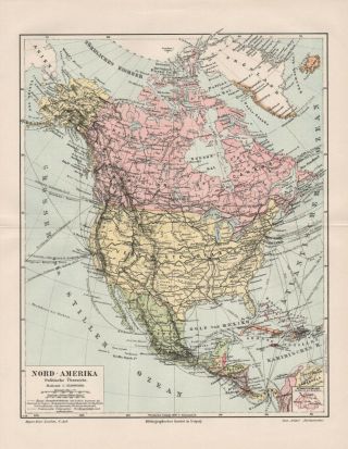
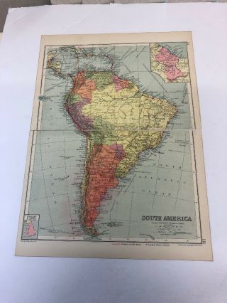
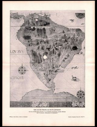
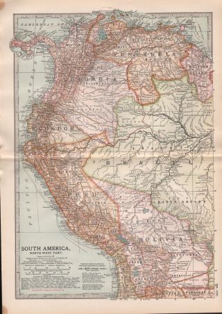
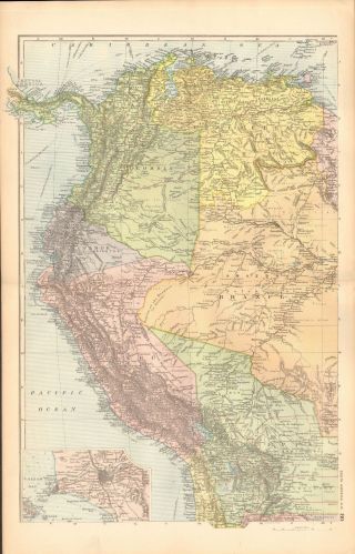
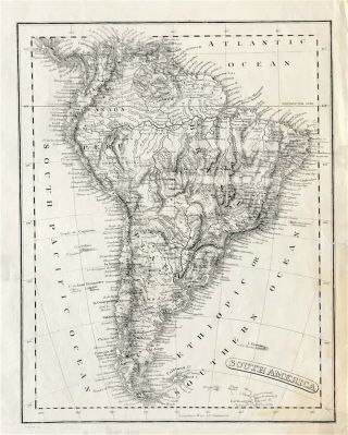
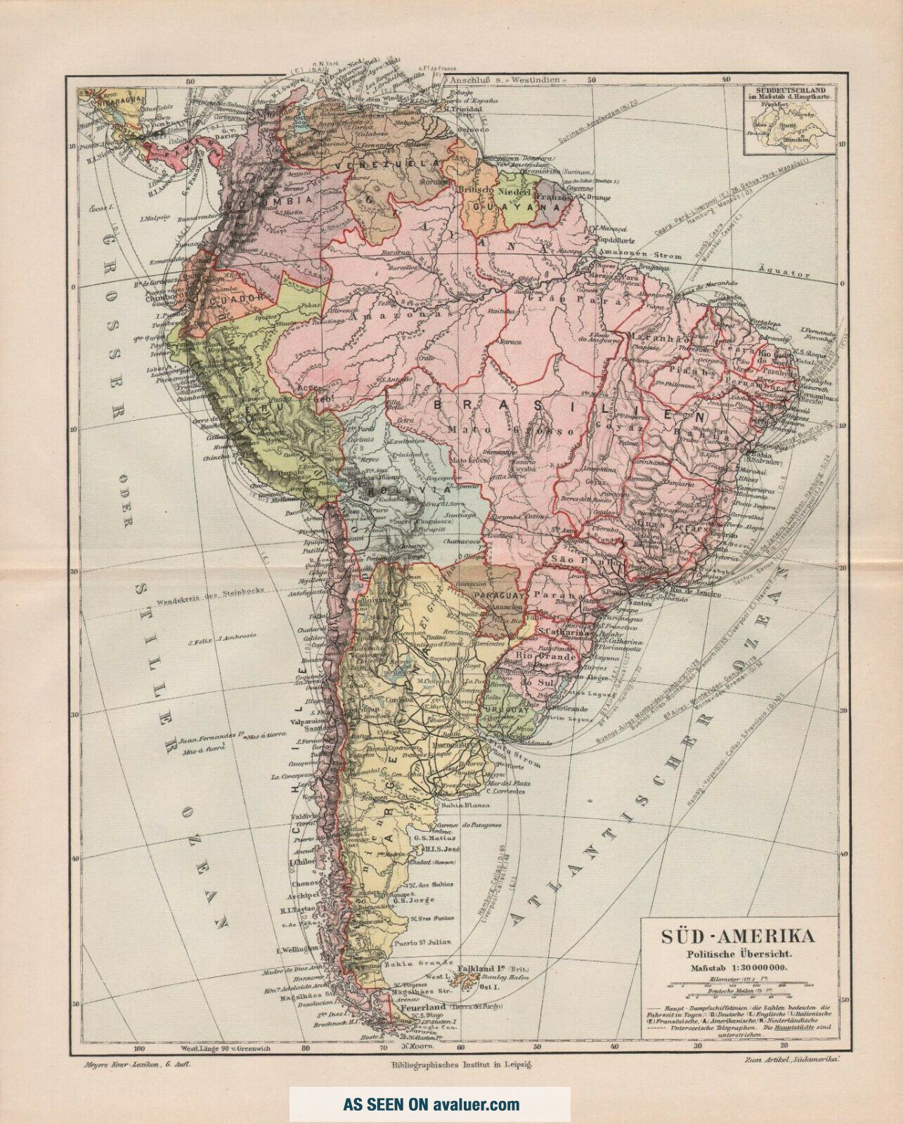
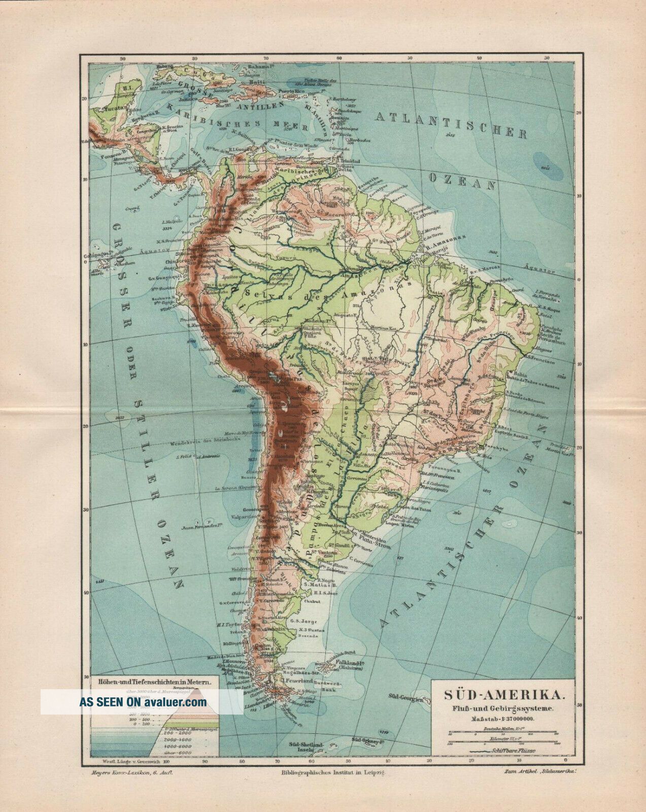
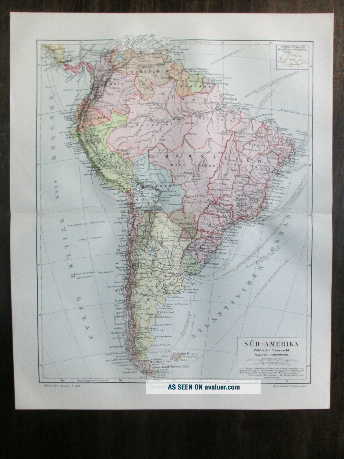
TWO Antique Maps. SOUTH AMERICA. POLITICAL & PHYSICAL MAPS. 1905
Item History & Price
| Reference Number: Avaluer:1249922 | Region: South America |
| Date Range: 1900-1909 | Printing Technique: Lithography |
| Country/Region: Colombia | Format: Atlas Map |
| Topic: Maps | Type: Political Map |
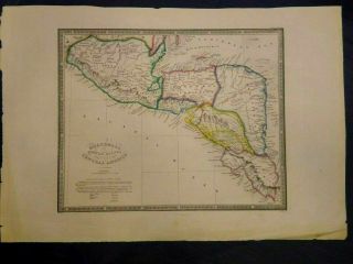
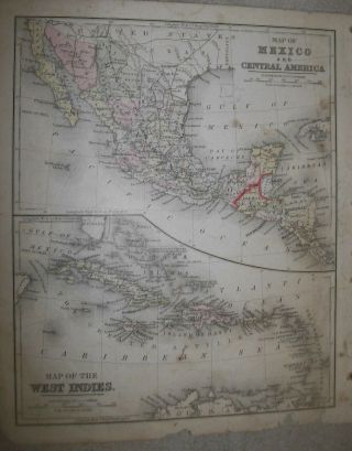
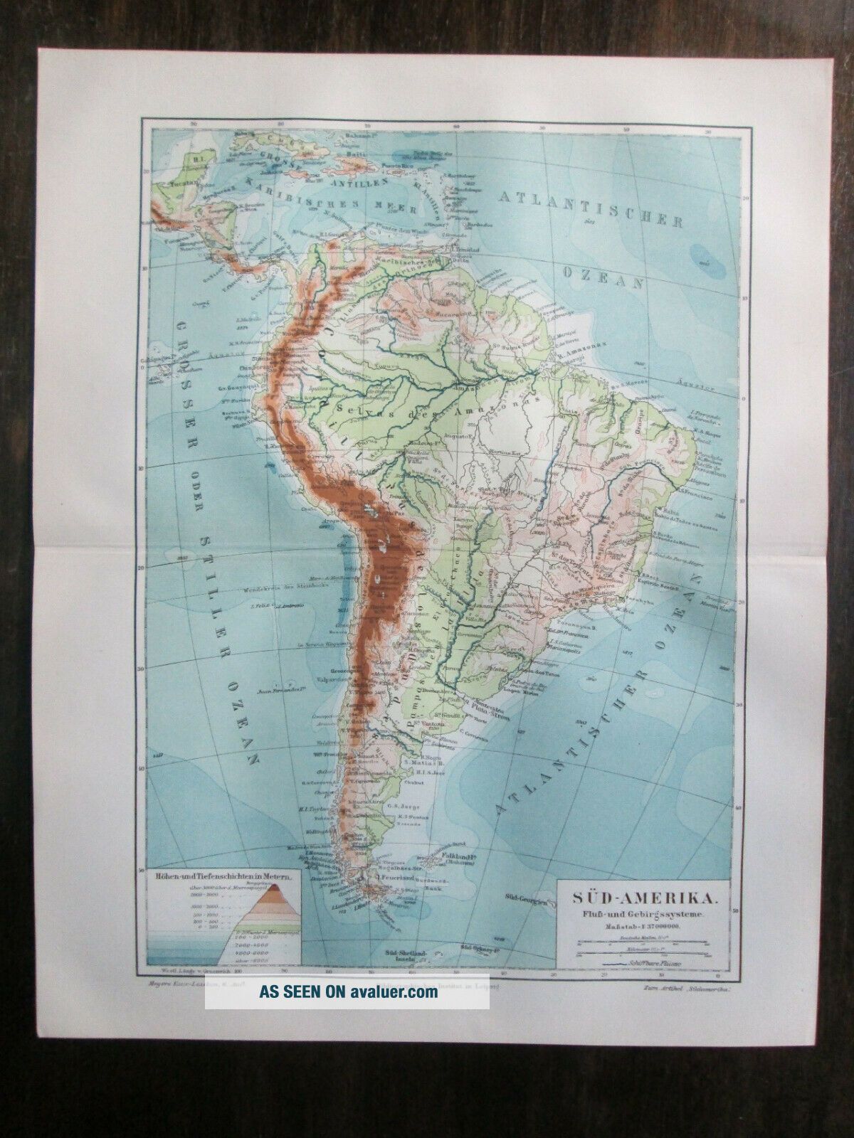
TWO !!! Antique maps "SOUTH AMERICA. POLITICAL & PHYSICAL MAPS". 1905.
Size - 30, 8 x 24, 4 cm & 30, 6 x 24, 4 cm
Image size - 26 x 21 cm & 25, 7 x 19 cm.The other side - clear.
Source - Mayers Konversation Lexikon, 6.Auflage
Condition - Please check attached photogrphy and scanned images.
Combined postage available!!!
First three prints will be shipped for 8.00 USD
Every next additional print +0.70 USD