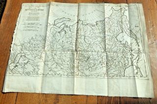
111 LARGE MAPS Of The RIO GRANDE INT ' L BOUNDARY With MEXICO Per The 1970 TREATY


Item History & Price
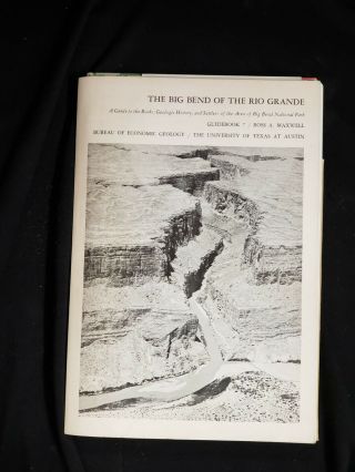
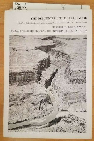
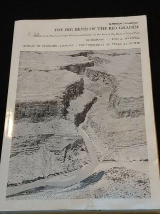
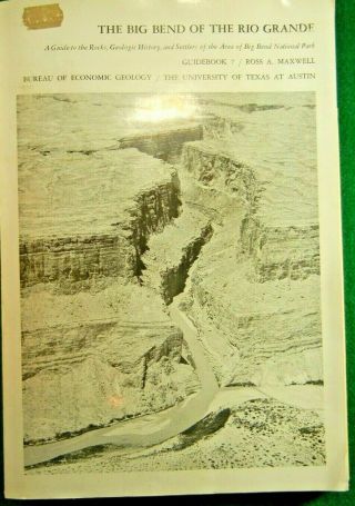
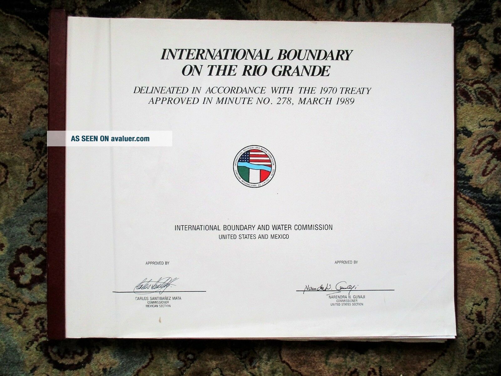
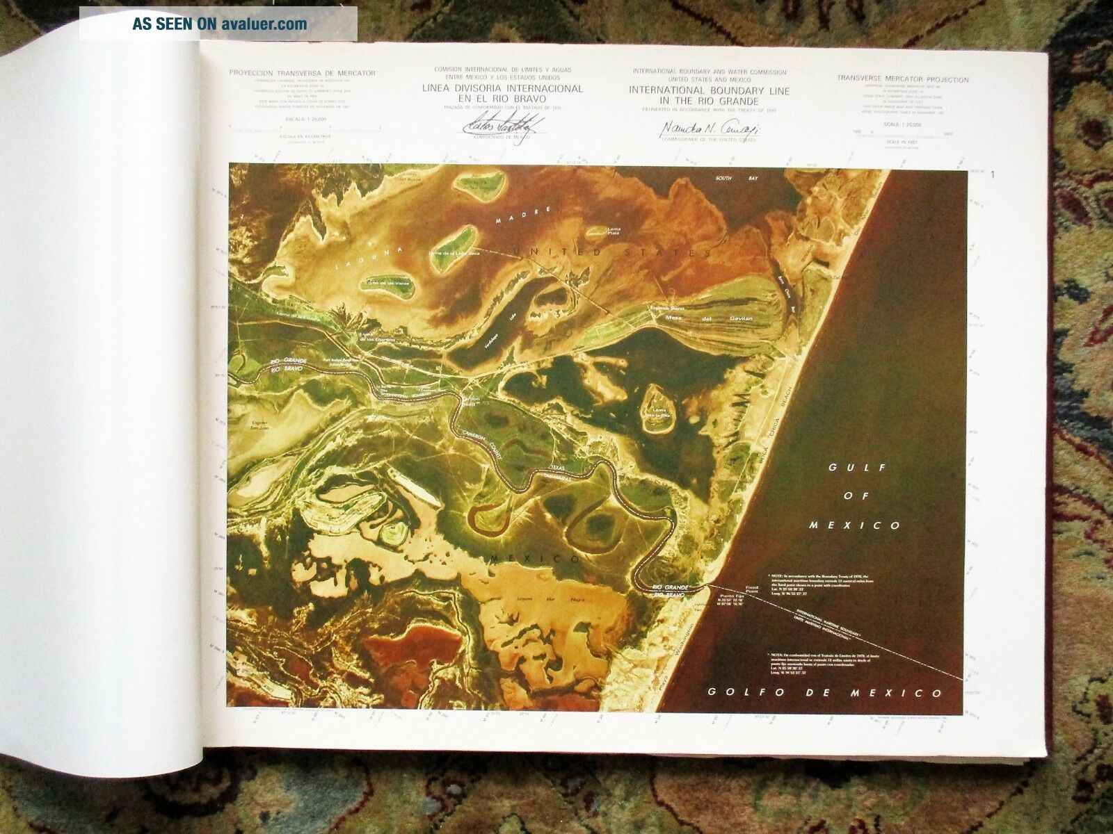
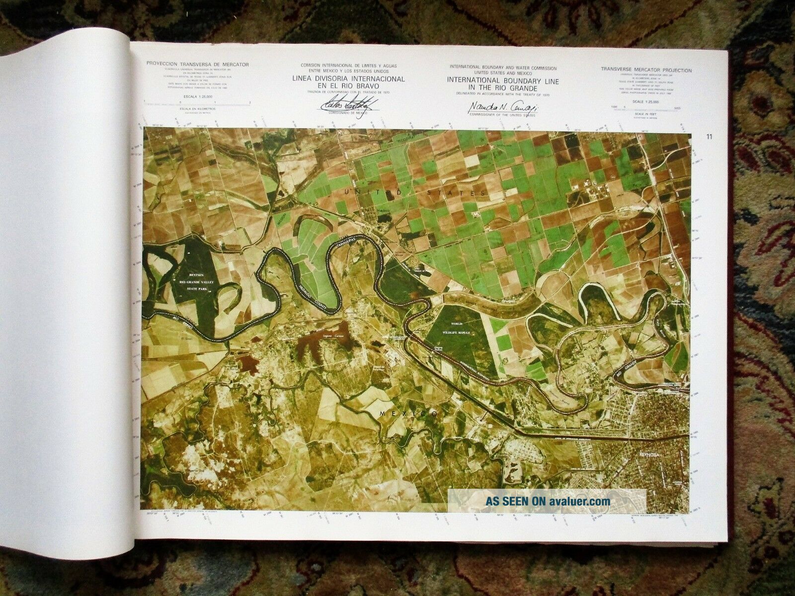
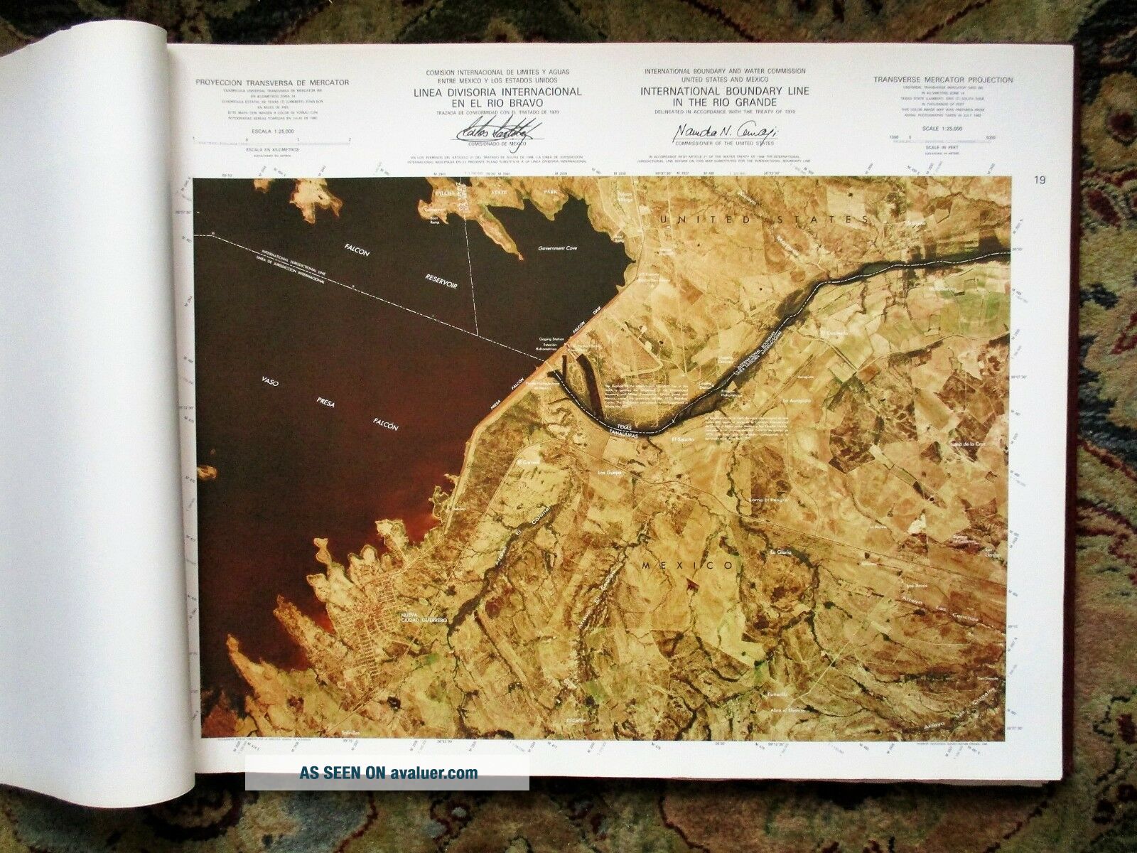
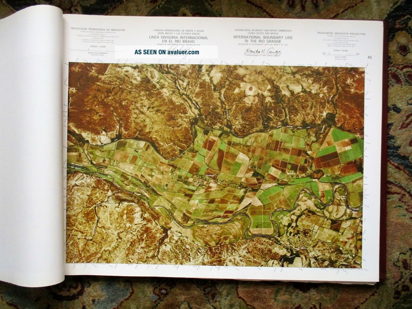
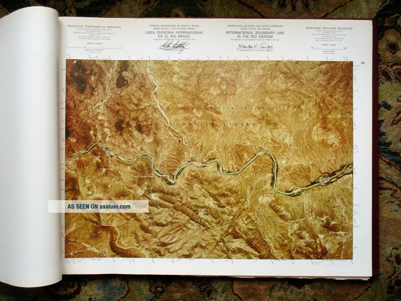
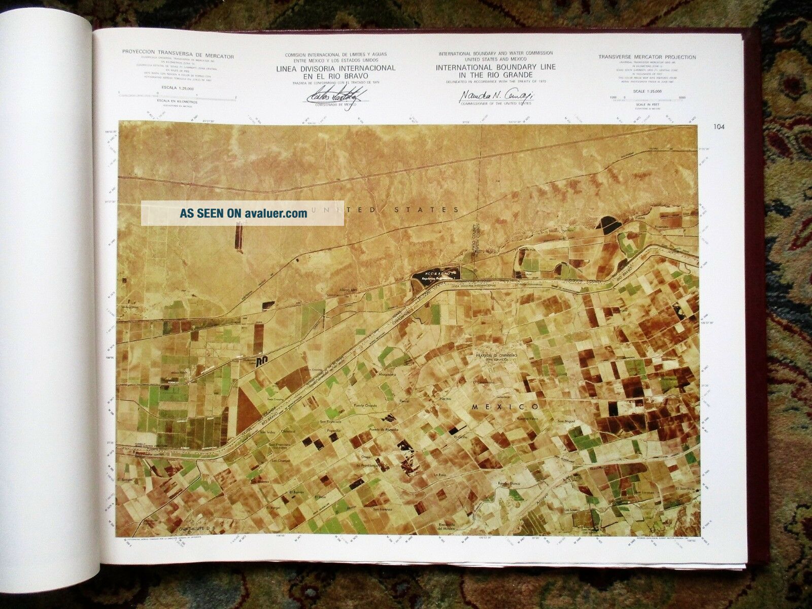
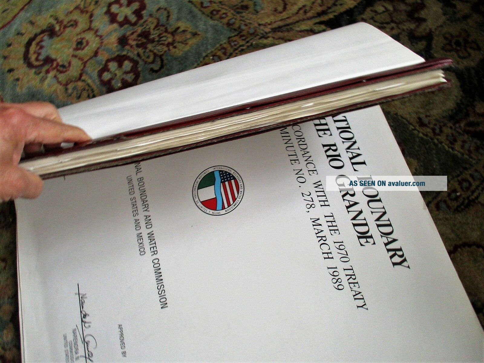
LARGE PORTFOLIO CONTAINING 111 MAPS of the RIO GRANDE BOUNDARY with MEXICO Titled: INTERNATIONAL BOUNDARY LINE IN THE RIO GRANDE, Delineated in Accordance with the Treaty of 1970 / Approved in Minute No. 278, March 1989. FIRST CENTENNIAL 1889-1989. United States of America - United Mexican States. Published by the International Boundary and Water Commission, United States and Mexico, 1989. Faux Leather Covers titled in gilt, both the front and rear covers are present... but disbound (i.e. laid on loosely), very large format 22 x 28 inches (56 x 71 cm), contains 111 maps plus a title page and an introductory map, pages printed on one side only. Though the covers are disbound the inner leaves are still bound together well with 4 bolts and leather strip coverings. A large and heavy portfolio of 111 maps. Condition: Covers disbound, as noted above; the title page and a few leaves have some creases; there is edgewear to a couple maps; overall the maps are in VERY GOOD condition, bright, clean, clear and unmarked. 111 large remote-sensing maps of the entire Rio Grande international boundary with Mexico. I don’t see a WALL on any of them. This Centennial Edition is Scarce.
Free Shipping within the United States. International Bidders please note that this very large and heavy book will be expensive to ship. Please check Shipping Details for costs to your country.