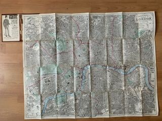
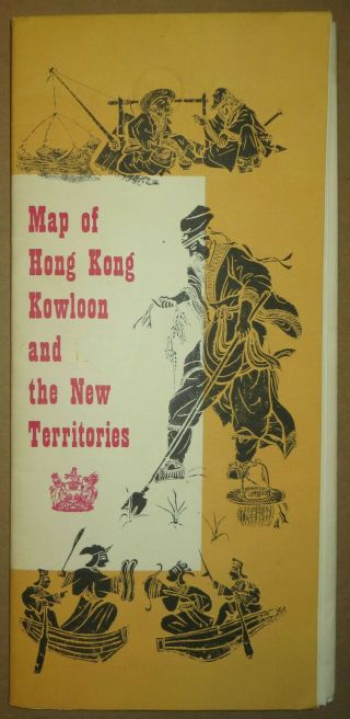
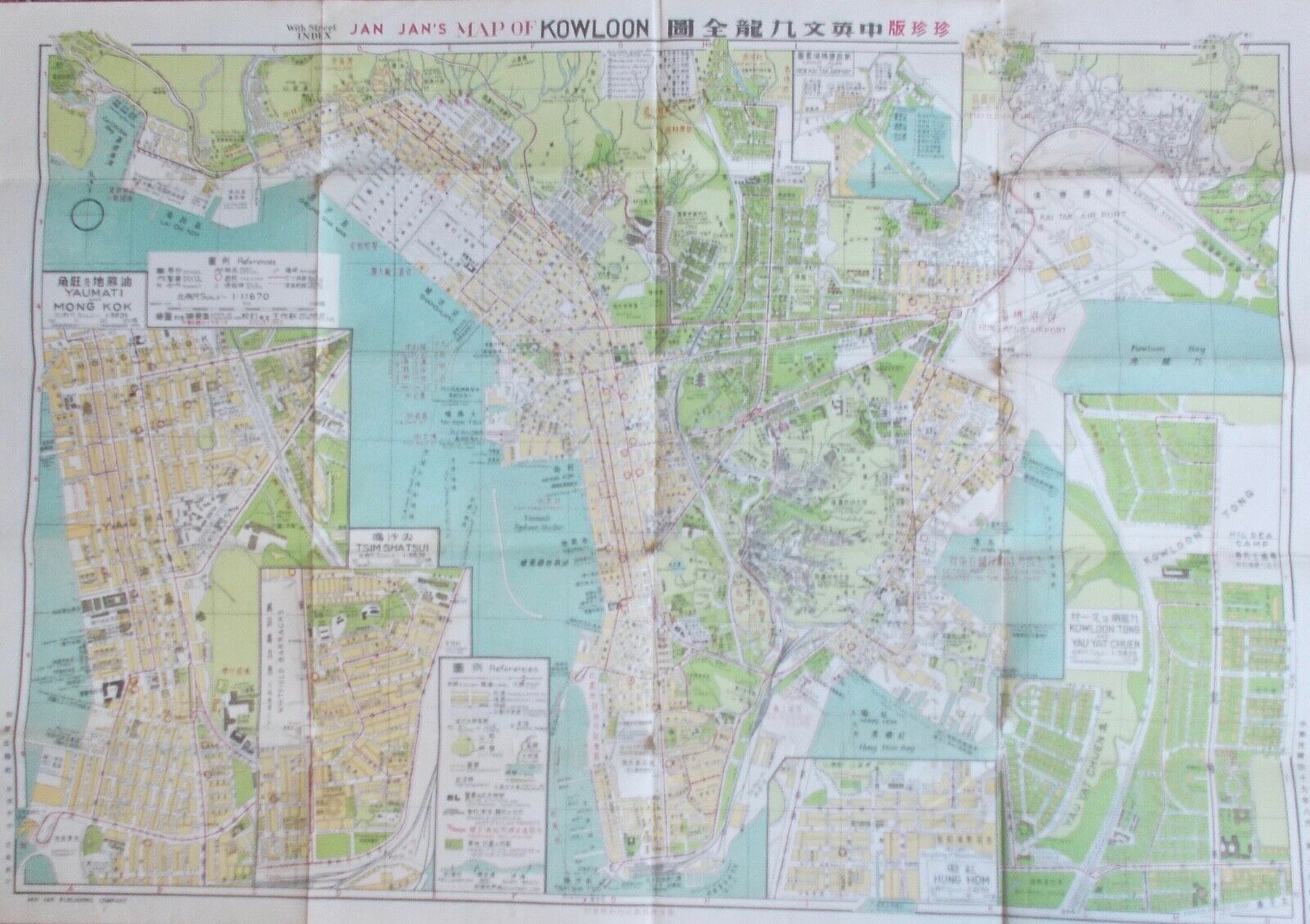
1960 HONG KONG COLOURED FOLDING MAP OF KOWLOON WITH STREET INDEX AND BUS ROUTES
Item History & Price
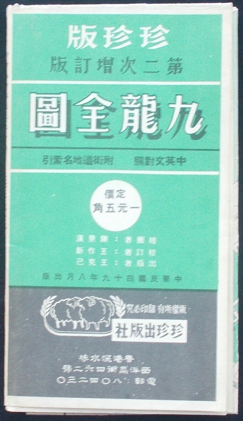
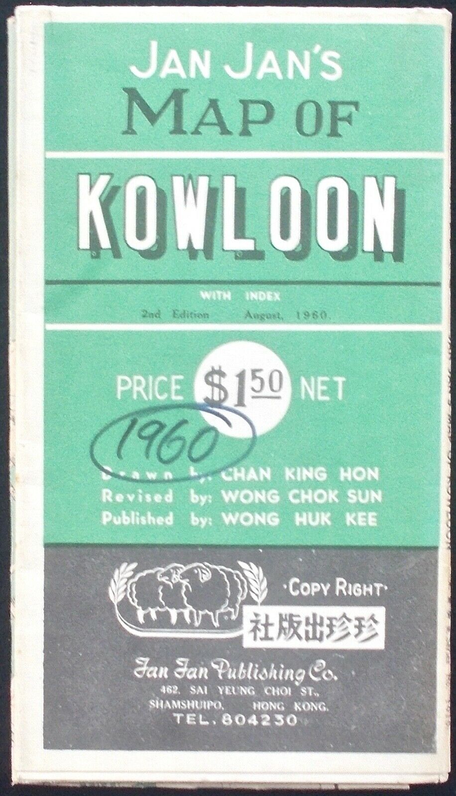
JAN JAN’SMAPOFKOWLOON
Tan Tan Publishing Co., Hong Kong 1960
Book Details
1st. Edition. Coloured, folding map of Kowloon.
When folded: 19.5cm x 11cm/7.5in x 4.75in
When Opened: 77cm x 53cm/30in x 21in
Description
This map is very good condition with n0 foxing, marks or other blemishes.
This is an original map published in 1960.
It is NOT a photocopy or a facsimile reproduction.
About this Book
This coloured, folding ma...p of Kowloon when opened is 77cm x 53cm/30in x 21n and has insets of Yaumati and Mong Kok, Tsim Shatsui, Hung Hom, and Kowloon Tong and Yau Yat Chuen.
The reverse side of the opened map has insets of Kwun Tong and To Kwa Wan, a Street Index in English and Chinese and Motor Bus Numbers and Routes in English and Chinese.
This map shows Kowloon as it was nearly sixty years ago.