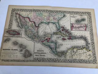
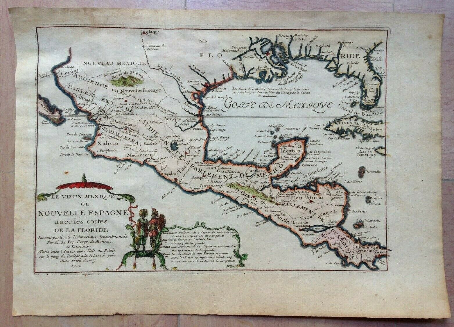
GULF OF MEXICO CENTRAL AMERICA 1702 NICOLAS DE FER UNUSUAL ANTIQUE ENGRAVED MAP
Item History & Price
| Reference Number: Avaluer:18711709 | Printing Technique: Copper Plate |
| Year: 1702 | Original/Reproduction: Antique Original |
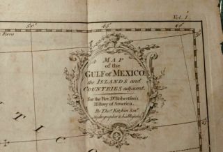
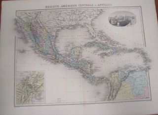
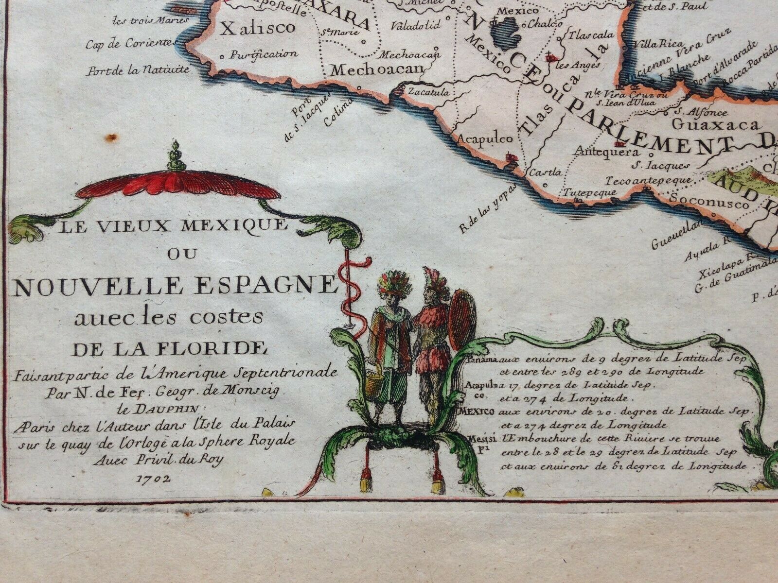
Title of the map:"LE VIEUX MEXIQUE OU NOUVELLE ESPAGNE avec les Costes DE LA FLORIDE Faisant partie de l'Amerique Septentrionale, Par N. de Fer, Geogr. de Monseig le DAUPHIN, A Paris, Chez l'Auteur dans l'Isle du Palais sur le quay de lOrloge a la Sphere Royale, Avec Privil. du Roy 1702"
Unusual antique copper engraved map of New Mexico, and Central America, with a part of Cuba and Jamaica, by Nicolas DE FER, XVIIIe century.
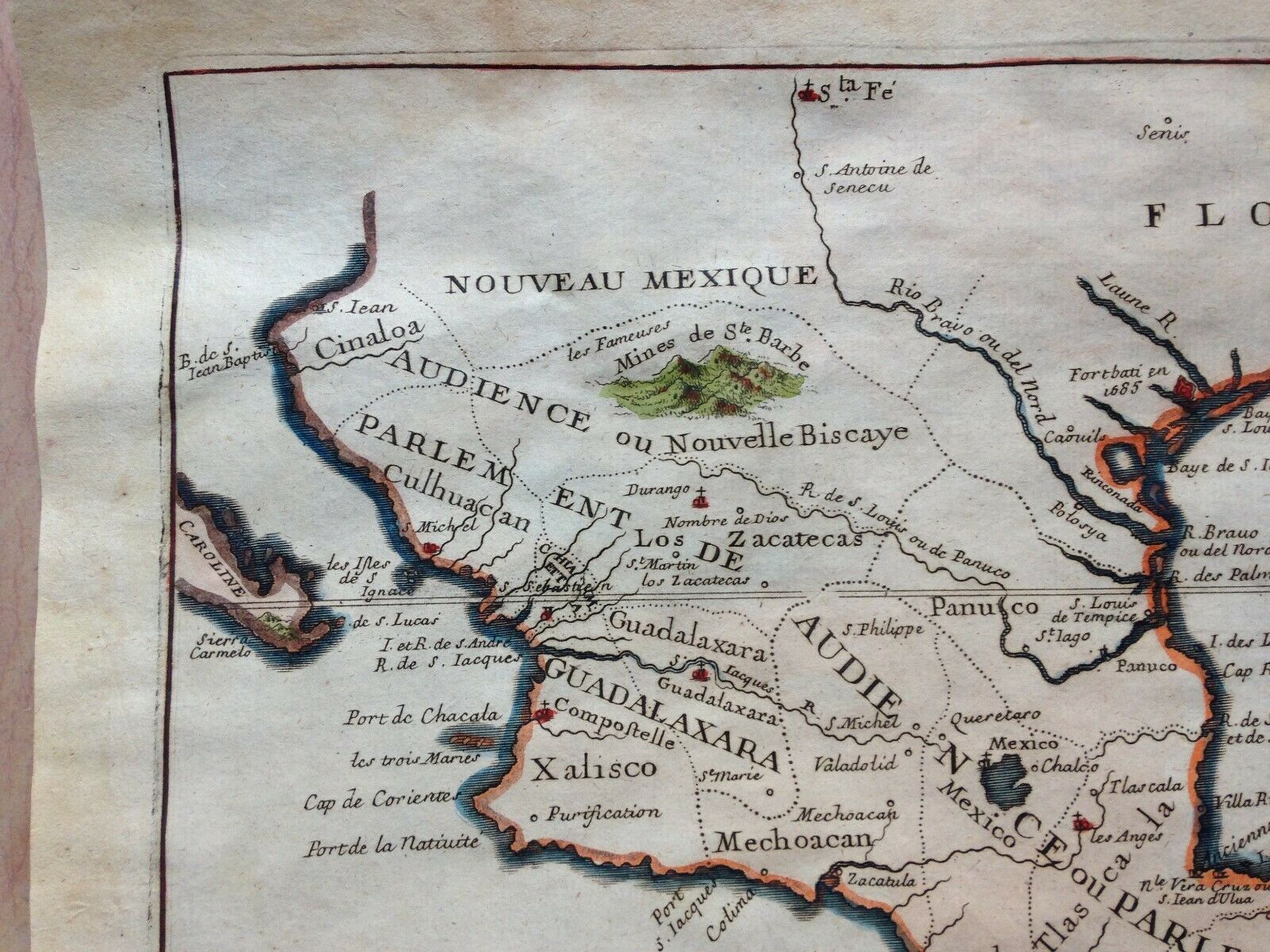
One of the earliest map to show the correct ...implantation of the Mississipi river. The map shows 2 forts: Fortbati and Fort St Jean near New Orleans.
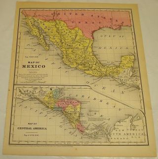
The map extends from California in west to Florida and Jamaica in east.With a lot of details on rivers, bays, cities, ..
A nice cartouche with Indians.
Nicolas De FER (1646-1720) is one of the famous geographe of XVIIIe century. His earliest wellknown map of the canal de Languedoc, realised in 1669. In 1697, he published his first world atlas.In 1695, De Fer, with several other notable French mapmakers, became founding contributors to the French Bureau of Maps and Plans. This bureau, created to deal with the technical and strategic problems of overseas commerce and exploration, was part of the Royal Academy of Sciences’ Ministry of the Navy and Colonies.
Size with margins : 28, 4 x 40 cm / 11 x 15, 7 inches
Condition : good condition
Edition : Paris, edited by the author, dated 1702, XVIIIe Century.
If you buy more than one item, you have to pay just one only shipping cost.All shipments are insured.
WE DON'T SELL LASER AND COPIES MAPS, ALL WE SELL IS ORIGINAL AND ANTIQUEDue to the age an type of paper, some imperfections are to be expected. Please examine the images provided carefully, and if you have any questions please ask and we will be happy to help you