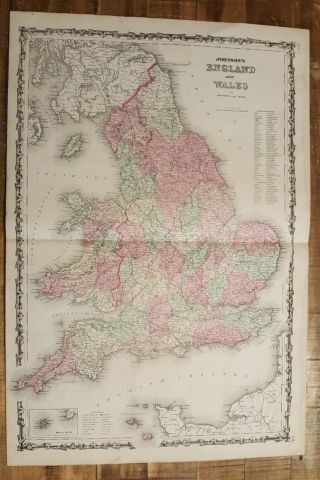
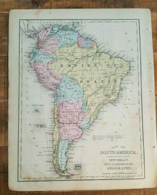
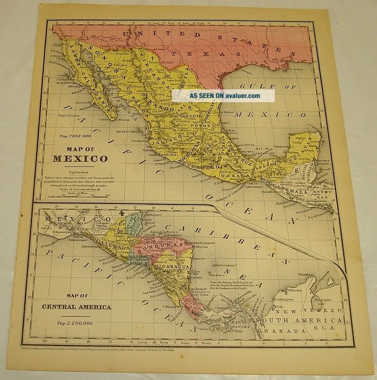
1854 Smith’s Antique Color Map Of MEXICO & CENTRAL AMERICA


Item History & Price

Information:
Reference Number: Avaluer:8371
Original Description:


THIS ITEM IS A GENUINE ORIGINAL VINTAGE MAPFROM THE SOURCE/DATE LISTED
   
Title of Map - Mexico and Central America
Date - 1854
Source - Smith’s Geography for Schools
By - Roswell Chamberlain Smith
Size - about 9.5x11.75", blank back, hand-colored
Condition - Fine

    Yes!! We Do Combine Shipping on Multiple Purchases!!NO RESERVE!! Happy Bidding!
Shipping and etc.:Buyer pays shipping/packing. W...e use very secure packaging methods and materials, and all shipments within the United States
will be made with the protection of the new USPS Parcel shipping category.
(First Class or Priority, depending on weight)
Note that certain items may be shipped in the USPS Media Mail category, if appropriate.

Payment due within 14 days after our initial after auction contact.
Pennsylvania residents MUST add applicable SALES TAX
or send resale number.

Thanks.

Good Luck!To See Our Other Auctions and Store Items CLICK HERE!  

Powered by eBay Blackthorne 04.08.031


    Similar items


  • Antique Color Map Of Mexico 1875 - 89 Encyclopaedia Britannica

    Antique Color Map Of Mexico 1875 - 89 Encyclopaedia Britannica

  • Antique Colored Map Of Illinois - Johnson

    Antique Colored Map Of Illinois - Johnson ' S Family Atlas 1863

  • Antique Colored Map Of York & Adj Cities / Johnson

    Antique Colored Map Of York & Adj Cities / Johnson ' S Family Atlas 1863

  • Antique Colored Map Of South America - Johnson

    Antique Colored Map Of South America - Johnson ' S Family Atlas 1863

  • Antique Colored Map Of England And Wales - Johnson

    Antique Colored Map Of England And Wales - Johnson ' S Family Atlas 1863

  • Antique Colored Map Of Scotland - Johnson

    Antique Colored Map Of Scotland - Johnson ' S Family Atlas 1863

  • Antique Colored Map Of South America - 1872 Mitchell

    Antique Colored Map Of South America - 1872 Mitchell ' S Interm. Geography

  • - Antique Colored Map Of The World / Johnson

    - Antique Colored Map Of The World / Johnson ' S Family Atlas 1863


    • You might also like


    • 1860 Mitchell Hand Colored Map Colorado,  Nebraska & Kansas - Civil War Era

      1860 Mitchell Hand Colored Map Colorado, Nebraska & Kansas - Civil War Era

    • 18th Century French Map Of North America

      18th Century French Map Of North America

    • Las Vegas Nevada Vintage 1967 Us Geological Survey Quadrangle Map 4 Panels

      Las Vegas Nevada Vintage 1967 Us Geological Survey Quadrangle Map 4 Panels

    • Rare Antique 1845 Maps United States Exploring Expedition Book Antartica Hawaii

      Rare Antique 1845 Maps United States Exploring Expedition Book Antartica Hawaii

    • Vintage 1926 Map Hollywood From The Best Surveys Of The Time

      Vintage 1926 Map Hollywood From The Best Surveys Of The Time

    • American Continent (western Hemisphere) 1747 Bowen Antique Copper Engraved Map

      American Continent (western Hemisphere) 1747 Bowen Antique Copper Engraved Map

    • Gulf Coast Florida Texas United States 1705 De Fer Unusual Antique Engraved Map

      Gulf Coast Florida Texas United States 1705 De Fer Unusual Antique Engraved Map

    • California As Island United States 1700 De Fer Unusual First Edition Antique Map

      California As Island United States 1700 De Fer Unusual First Edition Antique Map

Avaluer          About Us          Privacy Policy          Contact Us          UP
© 2022, avaluer.net, Inc. or its affiliates