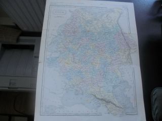
ANTIQUE FOLDING MAP OF AMERSTERDAM 1650 BY CLAES VISSCHER REMBRANDT PERIOD

Item History & Price
| Reference Number: Avaluer:19914062 | Date Range: 1600-1699 |
SELLING HERE AN HISTORICAL DUTCH MAP
MAP OF AMDERDAM PUBLISHED BY CLAES VISSCHER IN 1650.The planned expansion of Amsterdam is indicated on it.
Claes Janszoon Visscher was a Dutch Golden Age draughtsman, engraver, mapmaker and publisher.
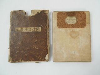
A MAGNIFICENT RARE VINTAGE REPLICA OF THE ORIGINAL MAP PRODUCED AND OBTAINED FIFTEEN YEARS AGO IN LONDON WHEN THE TOPOGRAPHY OF CARTOGRAPHY WAS BEING COMPILED.
SIZE: 35 x 30 cm unfolded (three folds)
COND...ITION: Excellent condition perfectly preserved
(As with many old maps some of the text is quite tiny and needs good eyesight or a magnifying glass)
I offer a full money back guarantee on my descriptions please bid with confidence VISIT THE ARCHIVES SHOP TO SEE OTHER HISTORIC PICTURES AND MAPS
WORLDWIDE POSTTracked delivery outside UK costs a little more but protects both buyer and seller
THANK YOU FOR VISITING