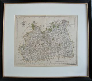
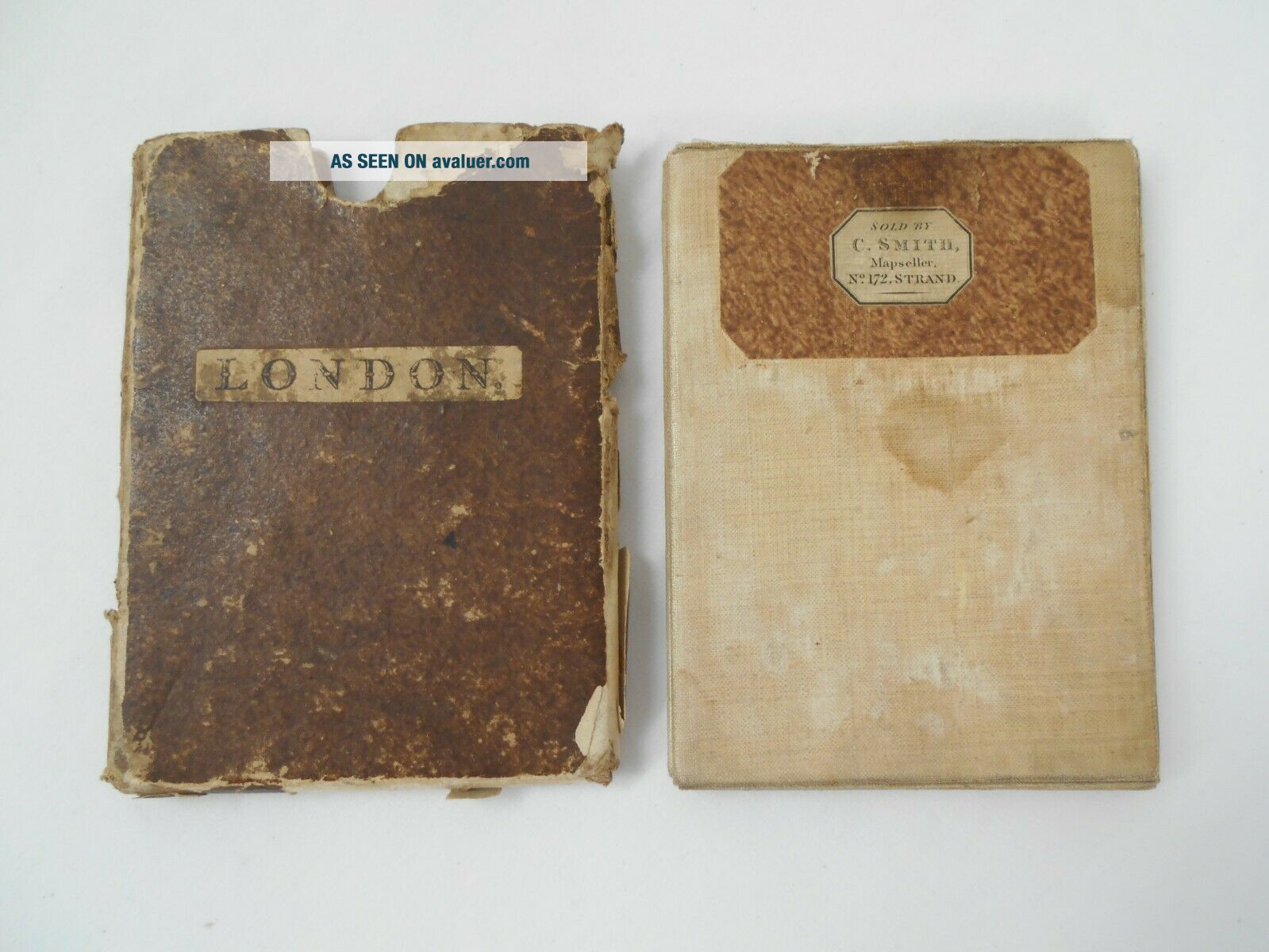
Antique Folding Map Of 1820 London By John Cary Linen Backed, Slip Case 84x65cm

Item History & Price
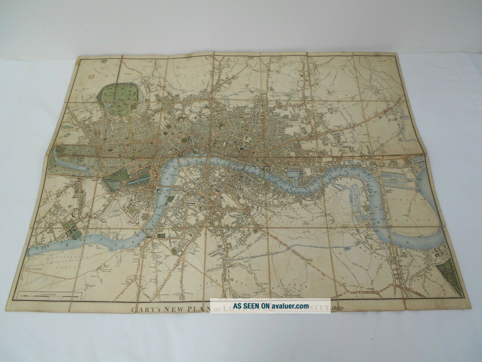
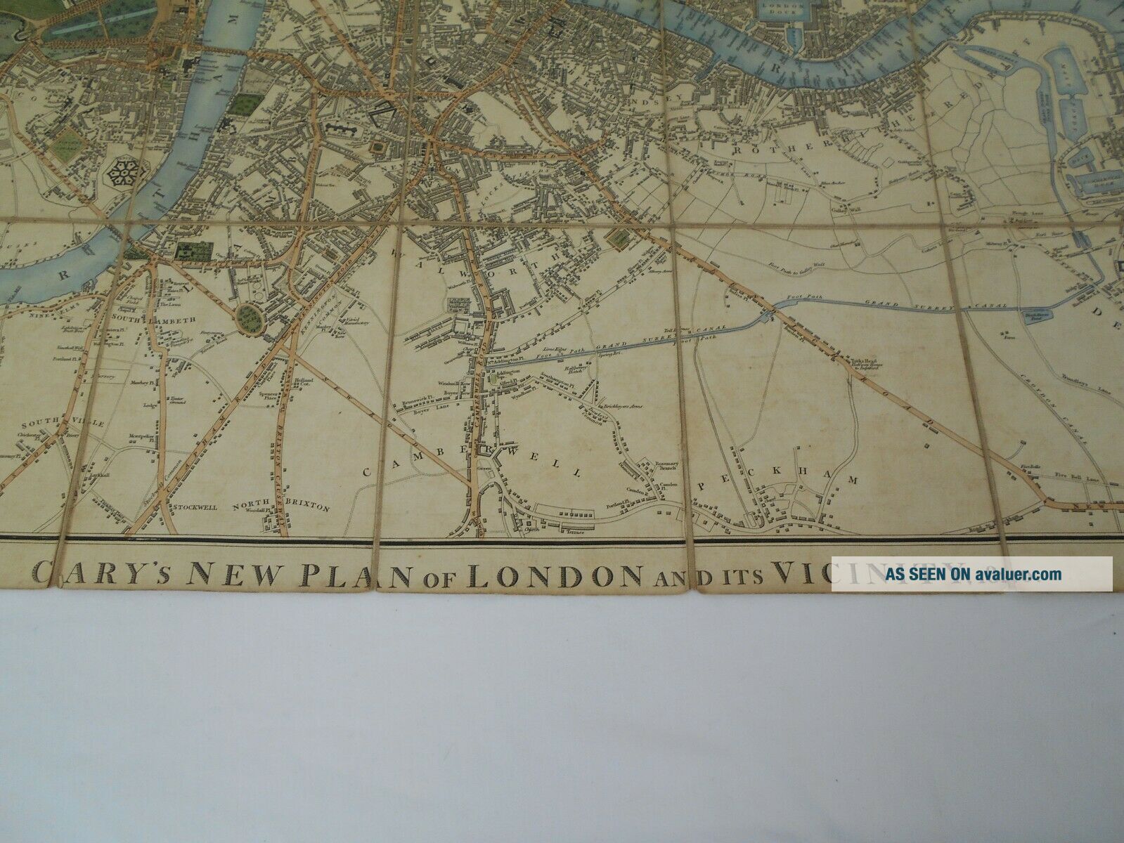
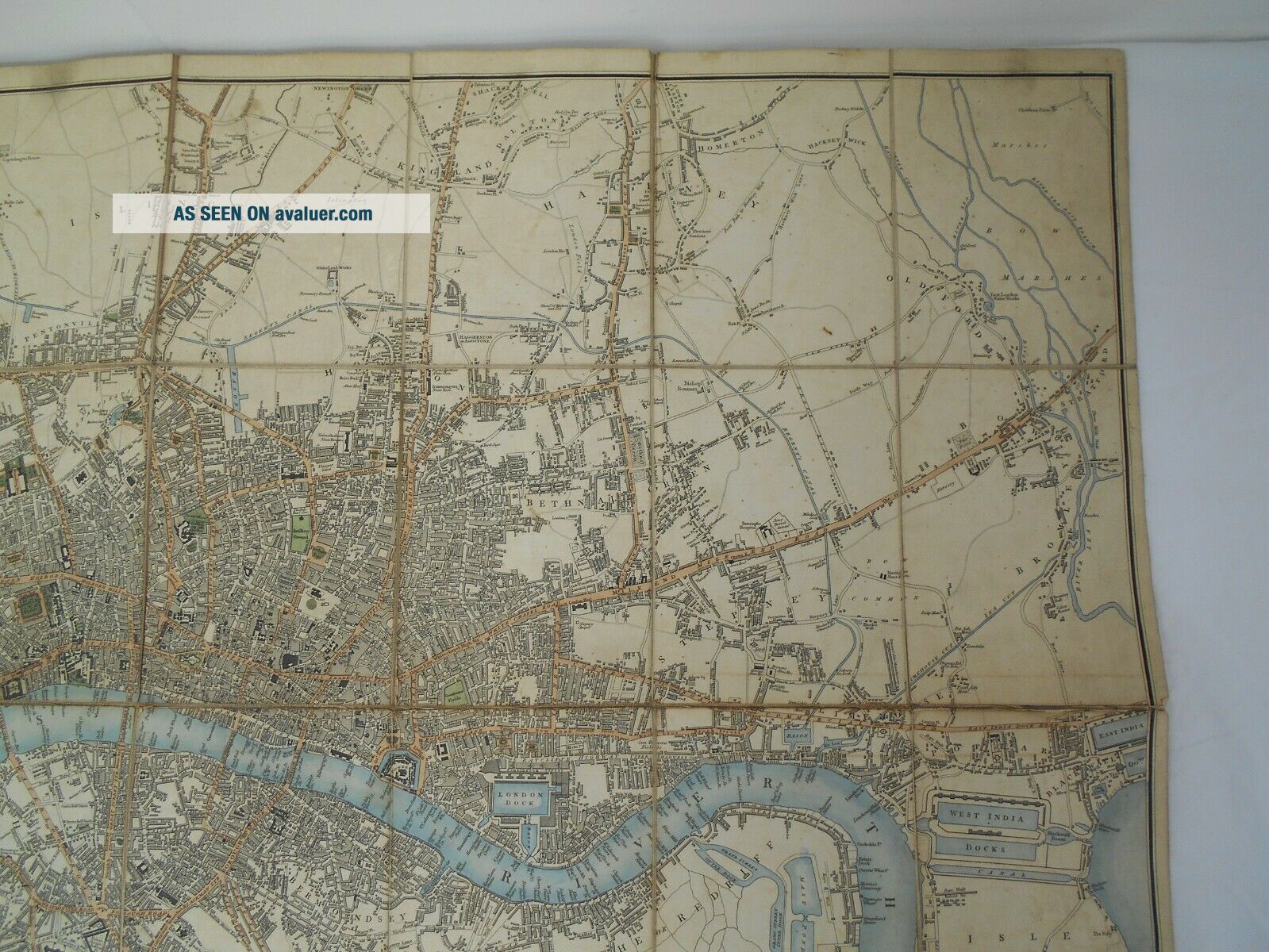
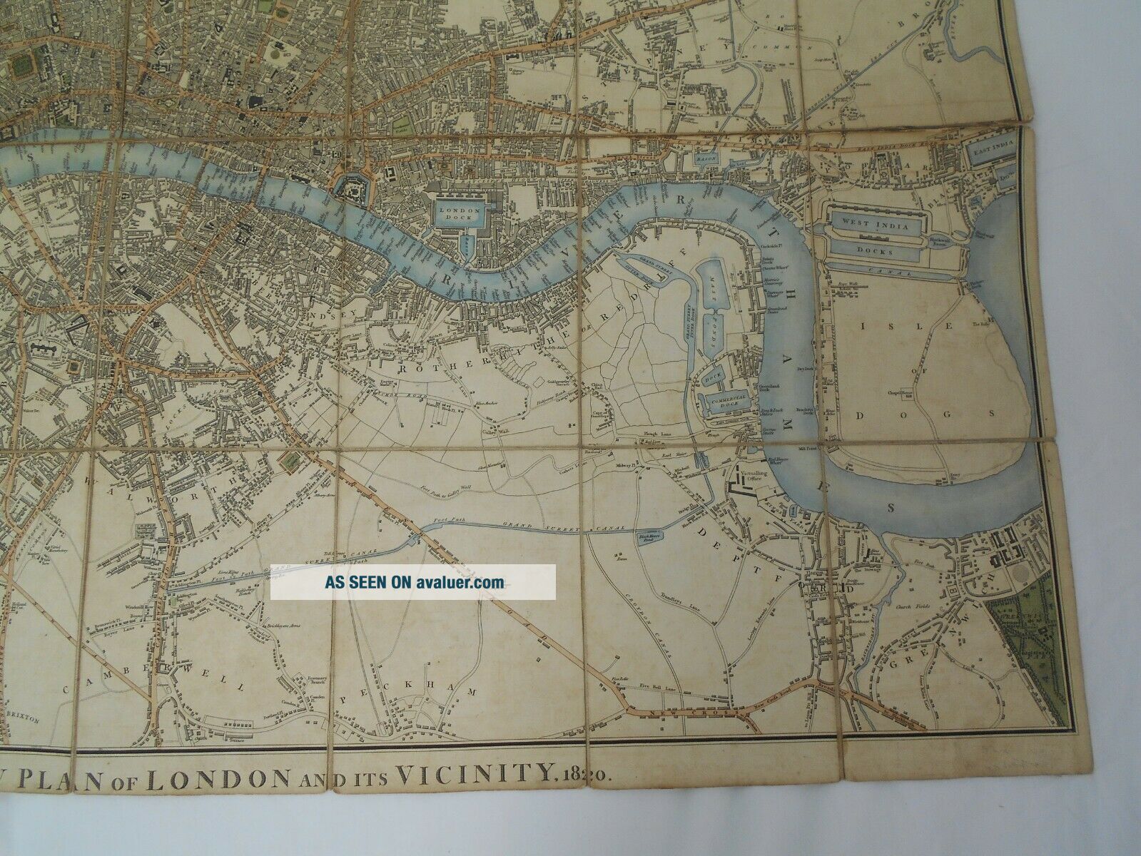
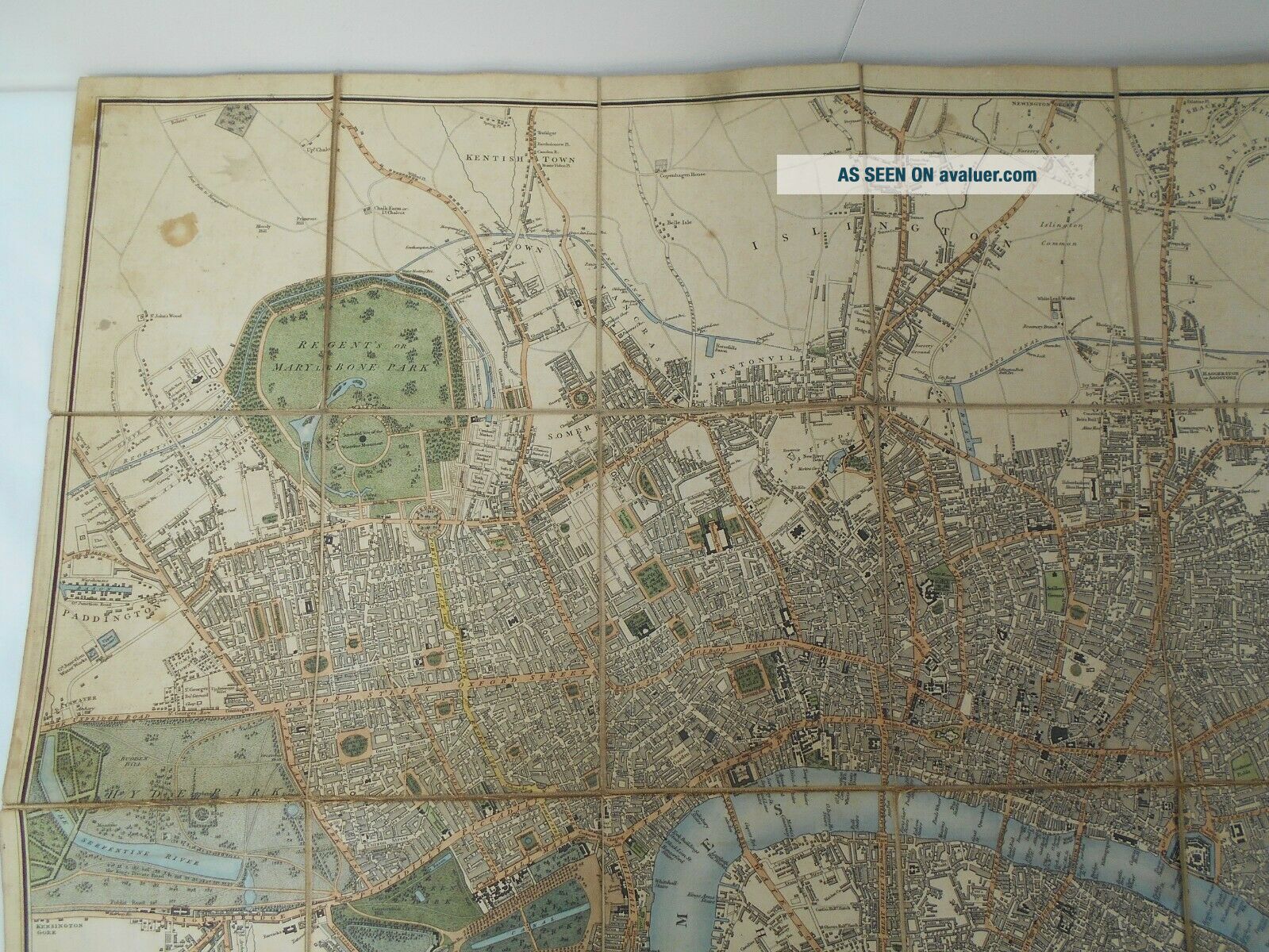
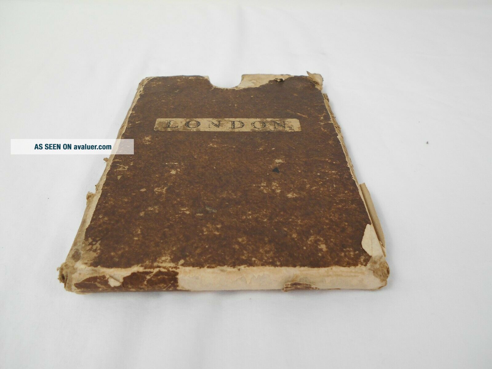
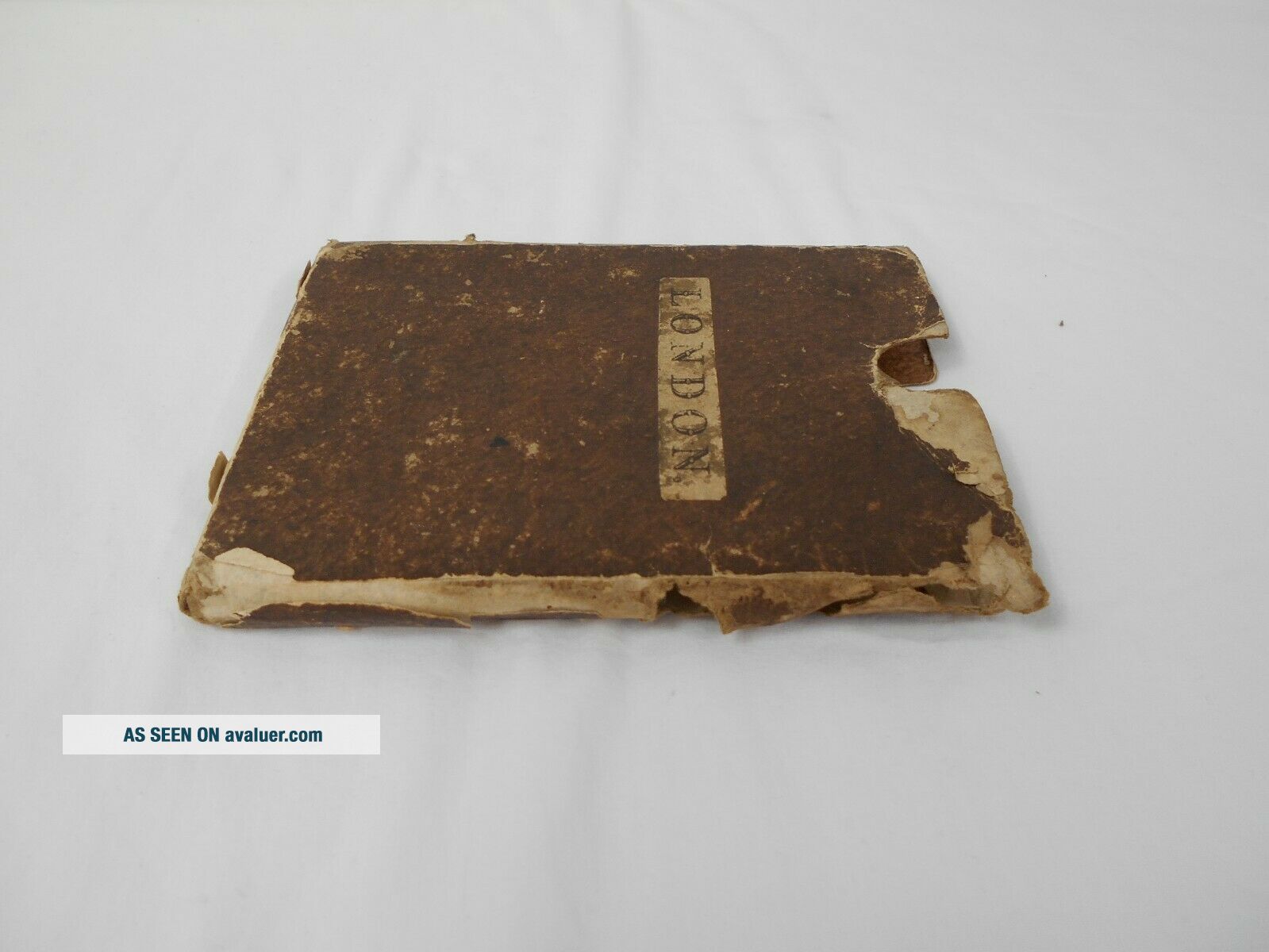
Antique Folding Map of London 1820 by John Cary
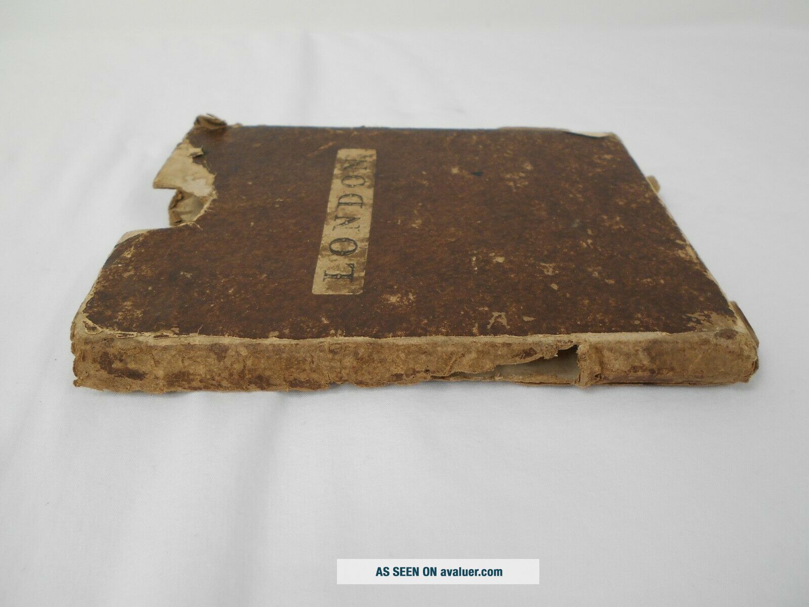
With Slip CaseWritten Along the Bottom 'Cary's New Plan of London and it's Vicinity 1820'
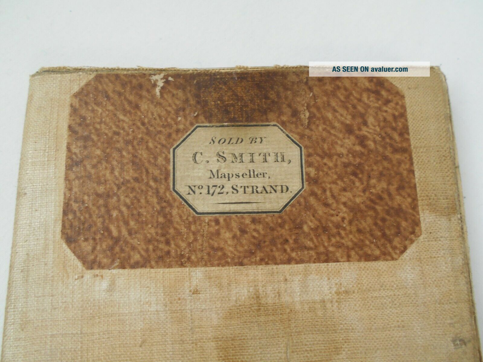
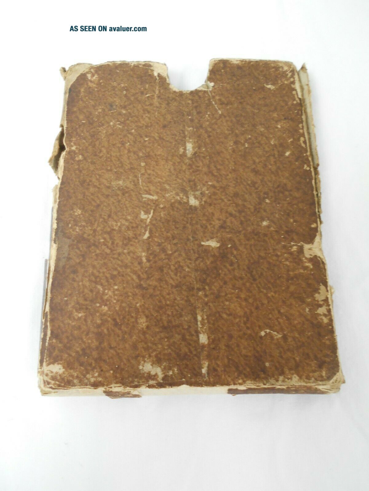
EngravedLinen Backed Measures Approx. 84x65cmLabel on Back of Map 'Sold by C.SMITH, Mapseller No.172, STRAND'OriginalCollectors ItemPlease note: Some damage. Slip case is fragile from wear - see pictures and please ask questions
Make an Offer!We have an excellent customer service record with 100% positive feedback, but if for ...any reason you are not satisfied with your purchase please contact usMost of our clothes are second hand. We recommend cleaning prior to wearHappy to combine postage for multiple purchasesCollections from our WATFORD warehouseAdd All Aboard as a favourite seller and receive instant listing updatesSee our collections and other items for saleReturns are accepted up to 14 days from date of delivery.RETURNED ITEMS MUST BE LABELLED ‘ONLINE DEPARTMENT RETURNS’, otherwise they will not be accepted.WE REQUIRE PAYMENT WITHIN ONE WEEK FROM DATE OF SALE AND COLLECTION WITHIN TWO WEEKS FROM DATE OF PURCHASE. IF COLLECTION HASN'T BEEN MADE AFTER 30 DAYS THE ORDER MAY BE CANCELLED WITHOUT WARNING AND NO REFUND GIVENref#07.19.0995
With Slip CaseWritten Along the Bottom 'Cary's New Plan of London and it's Vicinity 1820'
EngravedLinen Backed Measures Approx. 84x65cmLabel on Back of Map 'Sold by C.SMITH, Mapseller No.172, STRAND'OriginalCollectors ItemPlease note: Some damage. Slip case is fragile from wear - see pictures and please ask questions
Make an Offer!We have an excellent customer service record with 100% positive feedback, but if for ...any reason you are not satisfied with your purchase please contact usMost of our clothes are second hand. We recommend cleaning prior to wearHappy to combine postage for multiple purchasesCollections from our WATFORD warehouseAdd All Aboard as a favourite seller and receive instant listing updatesSee our collections and other items for saleReturns are accepted up to 14 days from date of delivery.RETURNED ITEMS MUST BE LABELLED ‘ONLINE DEPARTMENT RETURNS’, otherwise they will not be accepted.WE REQUIRE PAYMENT WITHIN ONE WEEK FROM DATE OF SALE AND COLLECTION WITHIN TWO WEEKS FROM DATE OF PURCHASE. IF COLLECTION HASN'T BEEN MADE AFTER 30 DAYS THE ORDER MAY BE CANCELLED WITHOUT WARNING AND NO REFUND GIVENref#07.19.0995