RARE MAP BOOK: UNIVERSAL ATLAS OF SOUTHERN HAMPSHIRE ALFRED GLASSMAN YR 2000


Item History & Price

Information:
Reference Number: Avaluer:20158039Format: Atlas
Publication Year: 2000Type: Geography
Special Attributes: Vintage Paperback
Original Description:
Product descriptionThis Atlas includes maps of 144 cities and towns within the Southern New Hampshire area and part of Maine. Listings range from Allenstown to Wolfeboro. Eliot, Kittery, and York Maine included. 184 pages, index on same page, spiral bound.


    Similar items


  • ☆map Book:universal Atlas Of Metropolitan Boston & Eastern Massachusetts 35thed
    ☆map Book:universal Atlas Of Metropolitan Boston & Eastern Massachusetts 35thed

  • Rare Antique Book,  1946,  Atlas Of Maps And Diagrams On Russian Military History

    Rare Antique Book, 1946, Atlas Of Maps And Diagrams On Russian Military History

  • Vintage Pacific Highway Map Book Automobile Club Of Southern California
    Vintage Pacific Highway Map Book Automobile Club Of Southern California

  • Antique Map Book - Desk Atlas Of The World By Rand Mcnally & Co. ,  1921,  Color Maps
    Antique Map Book - Desk Atlas Of The World By Rand Mcnally & Co. , 1921, Color Maps

  • 1897 Rand Mcnally Universal Atlas Of The World Indexed Large Folio Size Maps

    1897 Rand Mcnally Universal Atlas Of The World Indexed Large Folio Size Maps

  • Rare 1935 Rand Mcnally Atlas Of The United States Color Maps Illustrated

    Rare 1935 Rand Mcnally Atlas Of The United States Color Maps Illustrated

  • Antique 1898 Rand Mcnally Universal Atlas Of The World Antique Maps Book

    Antique 1898 Rand Mcnally Universal Atlas Of The World Antique Maps Book

  • Bacon

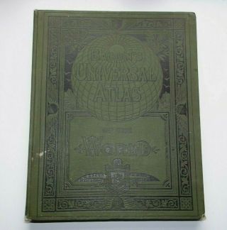
    Bacon ' S Universal Atlas Of The World, Edited By Gw Bacon, 1912, Antique Maps


    • You might also like


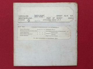
    • Twelve (12 " X 18 ") Linen Backed Vintage Maps - Yorkshire Lancashire Westmorland

      Twelve (12 " X 18 ") Linen Backed Vintage Maps - Yorkshire Lancashire Westmorland

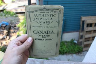
    • Vintage Philips Authentic Imperial Maps Canada Ontario Quebec 1942 And Rare

      Vintage Philips Authentic Imperial Maps Canada Ontario Quebec 1942 And Rare

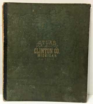
    • Rare Vtg/antq 1873 Hardcover Book: Clinton County Michigan Atlas Plus Rr Maps

      Rare Vtg/antq 1873 Hardcover Book: Clinton County Michigan Atlas Plus Rr Maps

    • Port Of London Authority (pla) - Vintage Map Of Docks I.  E.  Before Redevelopment

      Port Of London Authority (pla) - Vintage Map Of Docks I. E. Before Redevelopment

    • 1953 Vintage Pastoral Map Of Northern Territory A.  R.  Miller Surveryor General

      1953 Vintage Pastoral Map Of Northern Territory A. R. Miller Surveryor General

    • Eighteen,  Ordnance Survey,  Ireland,  1/2 Inch To 1 Mile,  Vintage Maps,  C.  1970

      Eighteen, Ordnance Survey, Ireland, 1/2 Inch To 1 Mile, Vintage Maps, C. 1970 ' S.

    • Rare Vtg/antq 1930 Hardcover Book: Atlas Of Buffalo And Pepin Counties Wisconsin
      Rare Vtg/antq 1930 Hardcover Book: Atlas Of Buffalo And Pepin Counties Wisconsin
Avaluer          About Us          Privacy Policy          Contact Us          UP
© 2022, avaluer.net, Inc. or its affiliates