EIGHTEEN, ORDNANCE SURVEY, IRELAND, 1/2 INCH TO 1 MILE, VINTAGE MAPS, C. 1970 ' S.


Item History & Price

Information:
Reference Number: Avaluer:8005914
Original Description:
YOU WILL BE BIDDING ON A JOB LOT OF EIGHTEEN, ORDNANCE SURVEY OF IRELAND, 1/2 TO 1 MILE, VINTAGE MAPS, c. 1980's. SIXTEEN IN REASONABLE USED CONDITION WITH MINOR ROUTE MARKING AND A FEW TEARS AT SOME FOLDS, TWO IN POOR, SELLOTAPE REPAIRED CONDITION. FORMER PROPERTY OF JANE DOCHIN, WHO TRAVELLED  & WALKED ALL OVER THE BRITISH ISLES WITH ONLY A PACKHORSE WITH ALL HER GEAR & SUPPLIES ON. SHE HAS WRITTEN SEVERAL BOOKS OF HER ADVENTURES, IF YOU ARE INTERESTED TO DO SOME RESEARC...H.PART OF THE ESTATE DISPERSAL OF THE LORD OF GLENCOE & LOCHABER THAT I AM CURRENTLY DISPOSING OF.PLEASE VIEW THE OTHER ECLECTIC AND TRIBAL ITEMS THAT I WILL BE LISTING SHORTLY.COMBINATION OF PURCHASES WELCOME, IN ORDER TO GET BEST POSTAGE.


    Similar items


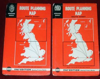
  • 2 Ordnance Survey 10 " :1 Mile Uk Route Planning Maps - England,  Scotland,  Wales 1967
    2 Ordnance Survey 10 " :1 Mile Uk Route Planning Maps - England, Scotland, Wales 1967

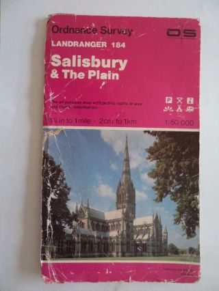
  • Ordnance Survey Map 1;50,  000 Salisbury 1983 Inc Stonehenge Bulford Boscombe Down
    Ordnance Survey Map 1;50, 000 Salisbury 1983 Inc Stonehenge Bulford Boscombe Down

  • Ordnance Survey Map 1 " To 1 Mile 1960 Barnstaple Map 163

    Ordnance Survey Map 1 " To 1 Mile 1960 Barnstaple Map 163

  • Ordnance Survey Map Cloth 2.  5map 51[tq]35 Caterham 1947 Oxted Coulsdon Godstone
    Ordnance Survey Map Cloth 2. 5map 51[tq]35 Caterham 1947 Oxted Coulsdon Godstone

  • 1947 Winchester Ordnance Survey Map 1 " Scale Vgc 70cm X 81cm Frameable

    1947 Winchester Ordnance Survey Map 1 " Scale Vgc 70cm X 81cm Frameable

  • 1947 Salisbury Ordnance Survey Map 1 " Scale Vgc 70cm X 81cm Frameable

    1947 Salisbury Ordnance Survey Map 1 " Scale Vgc 70cm X 81cm Frameable

  • Antique Ordnance Survey Map 1 Inch To Mile Buxton Sheet 45

    Antique Ordnance Survey Map 1 Inch To Mile Buxton Sheet 45

  • Cloth Ordnance Survey Maps X 2.  Scotland Southern Islands.

    Cloth Ordnance Survey Maps X 2. Scotland Southern Islands.


    • You might also like


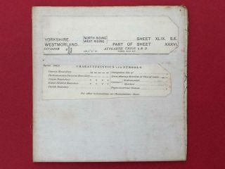
    • Twelve (12 " X 18 ") Linen Backed Vintage Maps - Yorkshire Lancashire Westmorland

      Twelve (12 " X 18 ") Linen Backed Vintage Maps - Yorkshire Lancashire Westmorland

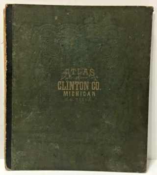
    • Rare Vtg/antq 1873 Hardcover Book: Clinton County Michigan Atlas Plus Rr Maps

      Rare Vtg/antq 1873 Hardcover Book: Clinton County Michigan Atlas Plus Rr Maps

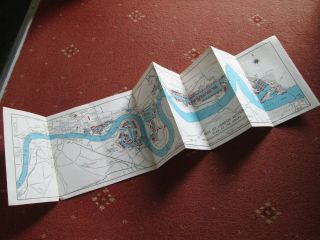
    • Port Of London Authority (pla) - Vintage Map Of Docks I.  E.  Before Redevelopment

      Port Of London Authority (pla) - Vintage Map Of Docks I. E. Before Redevelopment

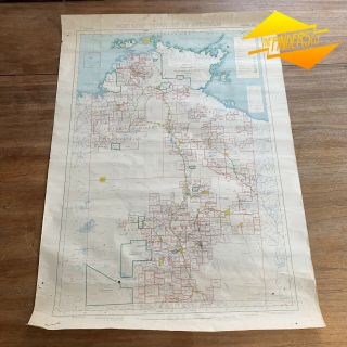
    • 1953 Vintage Pastoral Map Of Northern Territory A.  R.  Miller Surveryor General

      1953 Vintage Pastoral Map Of Northern Territory A. R. Miller Surveryor General

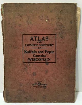
    • Rare Vtg/antq 1930 Hardcover Book: Atlas Of Buffalo And Pepin Counties Wisconsin

      Rare Vtg/antq 1930 Hardcover Book: Atlas Of Buffalo And Pepin Counties Wisconsin

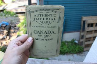
    • Vintage Philips Authentic Imperial Maps Canada Ontario Quebec 1942 And Rare
      Vintage Philips Authentic Imperial Maps Canada Ontario Quebec 1942 And Rare

Avaluer          About Us          Privacy Policy          Contact Us          UP
© 2022, avaluer.net, Inc. or its affiliates