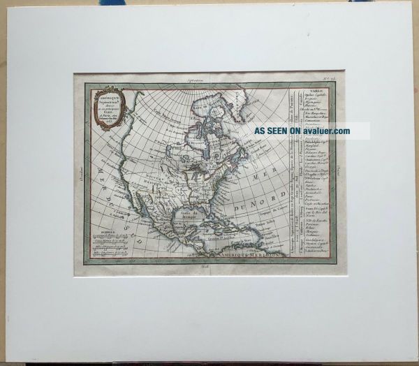
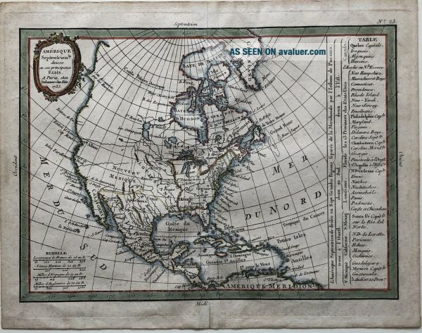
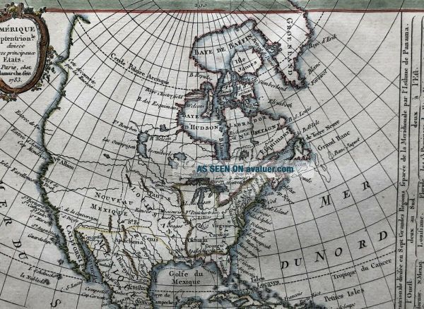
18th Century French Map Of North America
Item History & Price

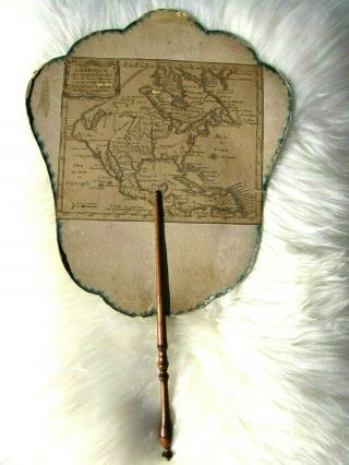
Rare Important 17th Century French Map Of America On Chinese Export Painted Fan
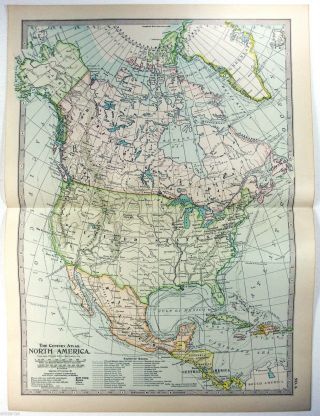
1902 Map Of North America By The Century Company
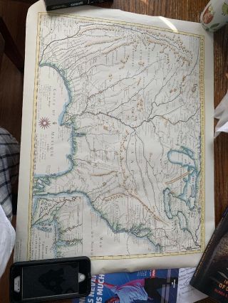
French Map Of Colonial America In 1718
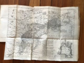
1755 Newspaper Large Fold Out Map Of North America @ Beginning French Indian War

1902 Map Of North America By The Century Company. Antique
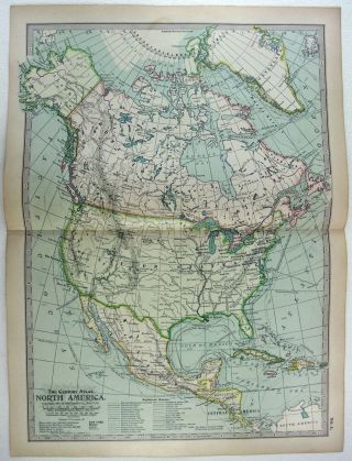
1897 Map Of North America By The Century Company. Antique
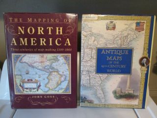
Mapping Of North America & Antique Maps Of The 19th Century World Hc/dj
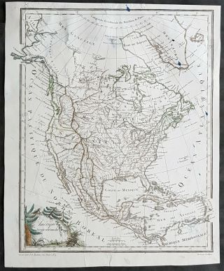
1803 Conrad Mal - Brun & Tardieu Antique Map Of North America, Mexico, Canada

1860 Mitchell Hand Colored Map Colorado, Nebraska & Kansas - Civil War Era

Las Vegas Nevada Vintage 1967 Us Geological Survey Quadrangle Map 4 Panels

Rare Antique 1845 Maps United States Exploring Expedition Book Antartica Hawaii

Vintage 1926 Map Hollywood From The Best Surveys Of The Time

American Continent (western Hemisphere) 1747 Bowen Antique Copper Engraved Map

Gulf Coast Florida Texas United States 1705 De Fer Unusual Antique Engraved Map

California As Island United States 1700 De Fer Unusual First Edition Antique Map