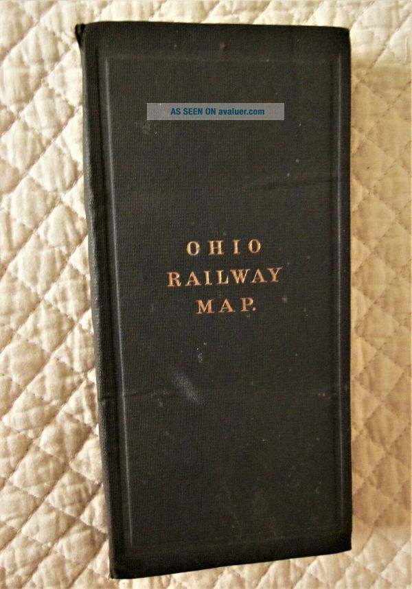
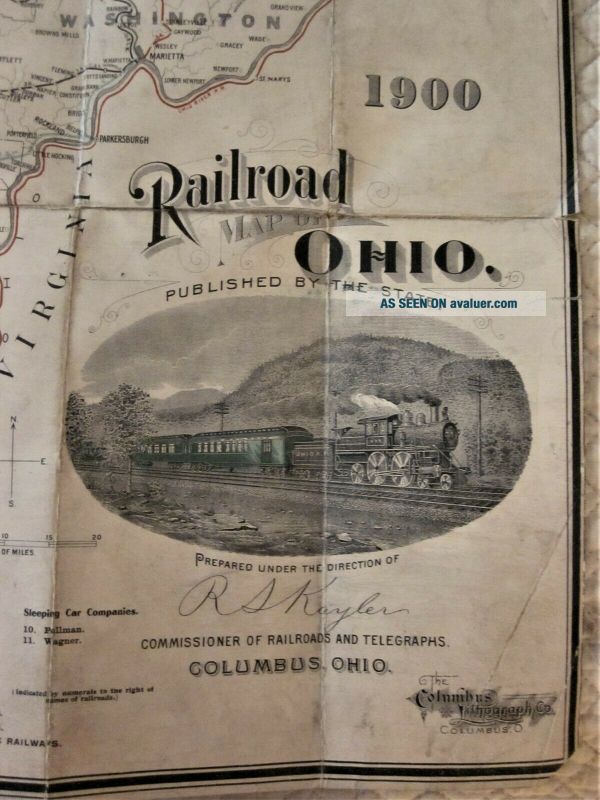
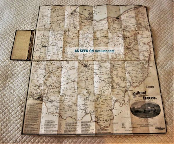
Antique 1900 Linen - Backed Folding Map Of All Of The Railways In Ohio, Hardcover
Item History & Price
| Reference Number: Avaluer:27912887 | Year: 1900 |
| Country/Region of Manufacture: United States |
Antique 1900 Linen-Backed Folding Map of all of the Ohio Railways:
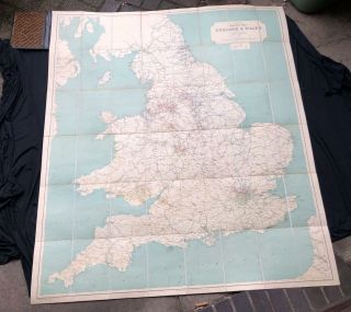
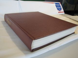
- measures 28" wide x 32" long when it is unfolded, hardcover measures 8 1/4" x 4" when map is folded- published by the State under the direction of R.S. Kayler, Commissioner of Railroads and Telegraphs, Columbus Ohio - Copyrighted by the Columbus Lithograph Co.- includes a list of all of the railroads, electric railways, telegraph companies, express companies, sleeping car companies and public county and state insti...tutions- also shows the canals, tunnels and coal lands- writing in the upper left corner reads, "property of Rev. Alsop Leffingwell"- map is in good condition, age related wear to the edges and corners(see photo close ups)- the paper lining inside of the black hardcover is peeling(see photo)- outside of cloth covered hardback is in good condition
- measures 28" wide x 32" long when it is unfolded, hardcover measures 8 1/4" x 4" when map is folded- published by the State under the direction of R.S. Kayler, Commissioner of Railroads and Telegraphs, Columbus Ohio - Copyrighted by the Columbus Lithograph Co.- includes a list of all of the railroads, electric railways, telegraph companies, express companies, sleeping car companies and public county and state insti...tutions- also shows the canals, tunnels and coal lands- writing in the upper left corner reads, "property of Rev. Alsop Leffingwell"- map is in good condition, age related wear to the edges and corners(see photo close ups)- the paper lining inside of the black hardcover is peeling(see photo)- outside of cloth covered hardback is in good condition